GO AD-FREE. Get 2 Months Digital Subscription for ONLY £1! Use code 2FOR1
GET STARTEDMore on KentOnline
GO AD-FREE. Get 2 Months Digital Subscription for ONLY £1! Use code 2FOR1
GET STARTEDMore on KentOnline
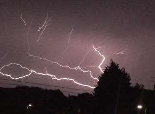
An intense thunderstorm the size of Wales has descended on Kent this morning.
As many as 40,000 lightning strikes are said to have hit northern France in two hours before the storm started spiralling towards the county.
The Met Office has warned of heavy rain, hail and gusty winds ahead of what is expected to be a wet bank holiday Monday.
KentStormChasers has written of the "insane strike rate" of the lightning in France, while the Essex Weather Centre has described it as a "dangerous supercellular storm".
Weather maps showed it looming large on the south coast and heading east towards Kent, contrary to earlier forecasts that it would miss the county.
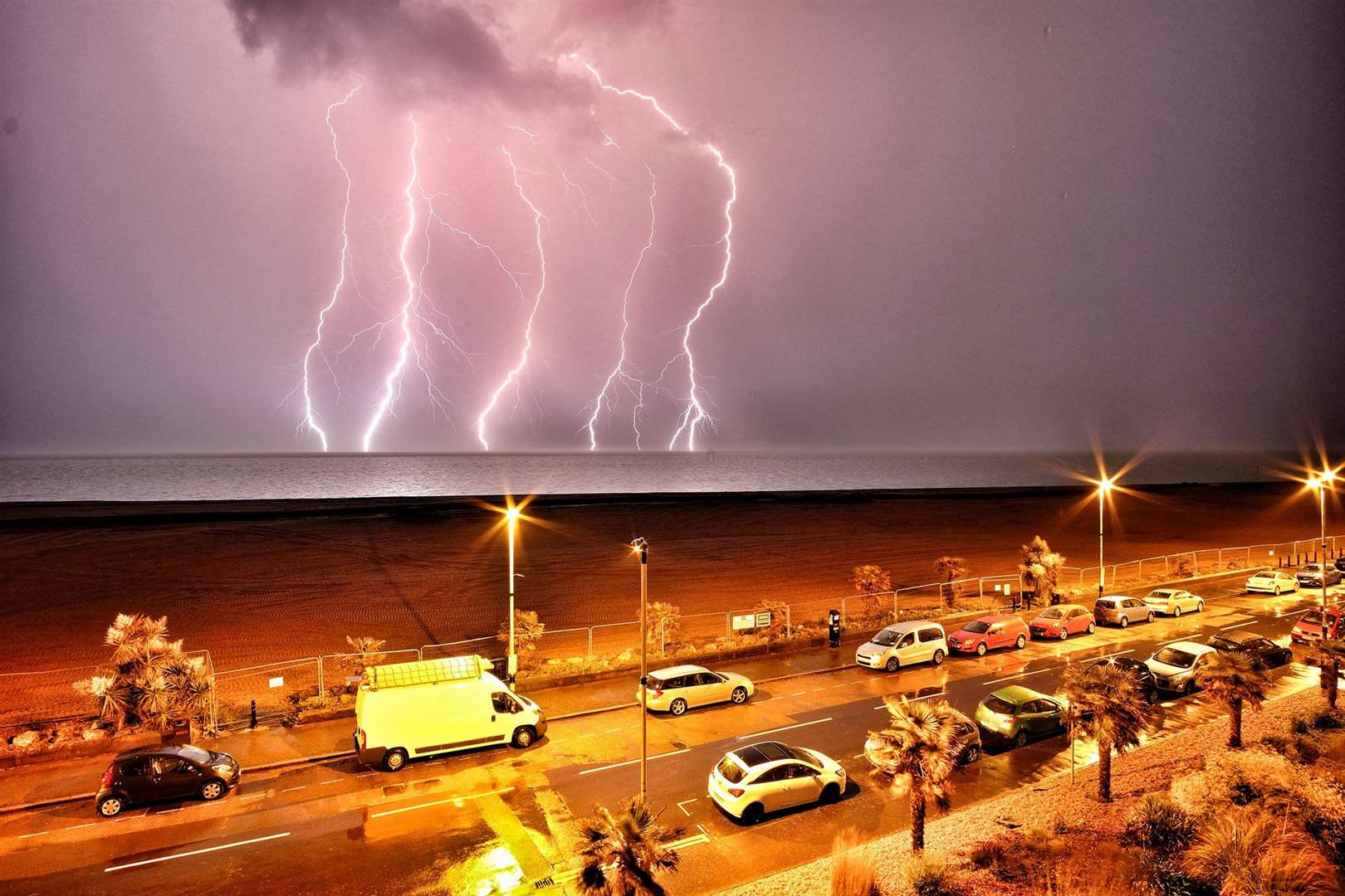
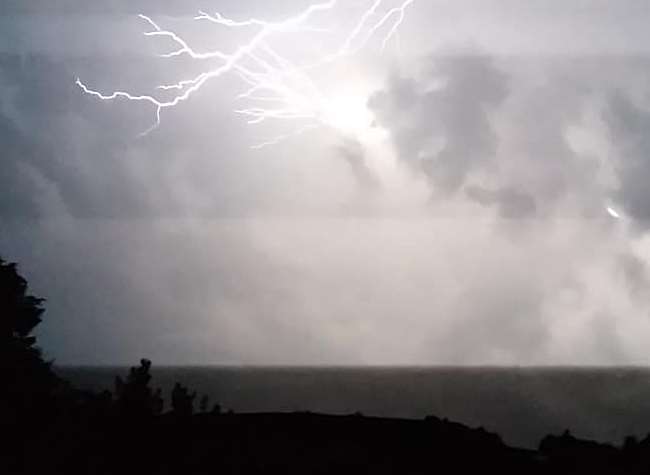
People have reported the storm hitting areas all across Kent, including Folkestone, Canterbury, Dover, Herne Bay, Maidstone, Ashford, Sittingbourne, Whitstable, the Isle of Sheppey and Faversham.
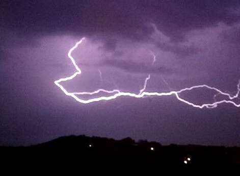
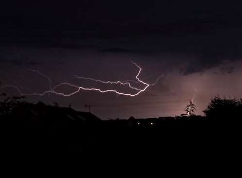
Many have taken to social media to post pictures and videos of the spectacular strikes.
Others have told of losing TV and phone signal since the storm first hit shortly before 1am.
Send your pictures of the storm to multimedianews@thekmgroup.co.uk.