GO AD-FREE. Get 2 Months Digital Subscription for ONLY £1! Use code 2FOR1
GET STARTEDMore on KentOnline
GO AD-FREE. Get 2 Months Digital Subscription for ONLY £1! Use code 2FOR1
GET STARTEDMore on KentOnline
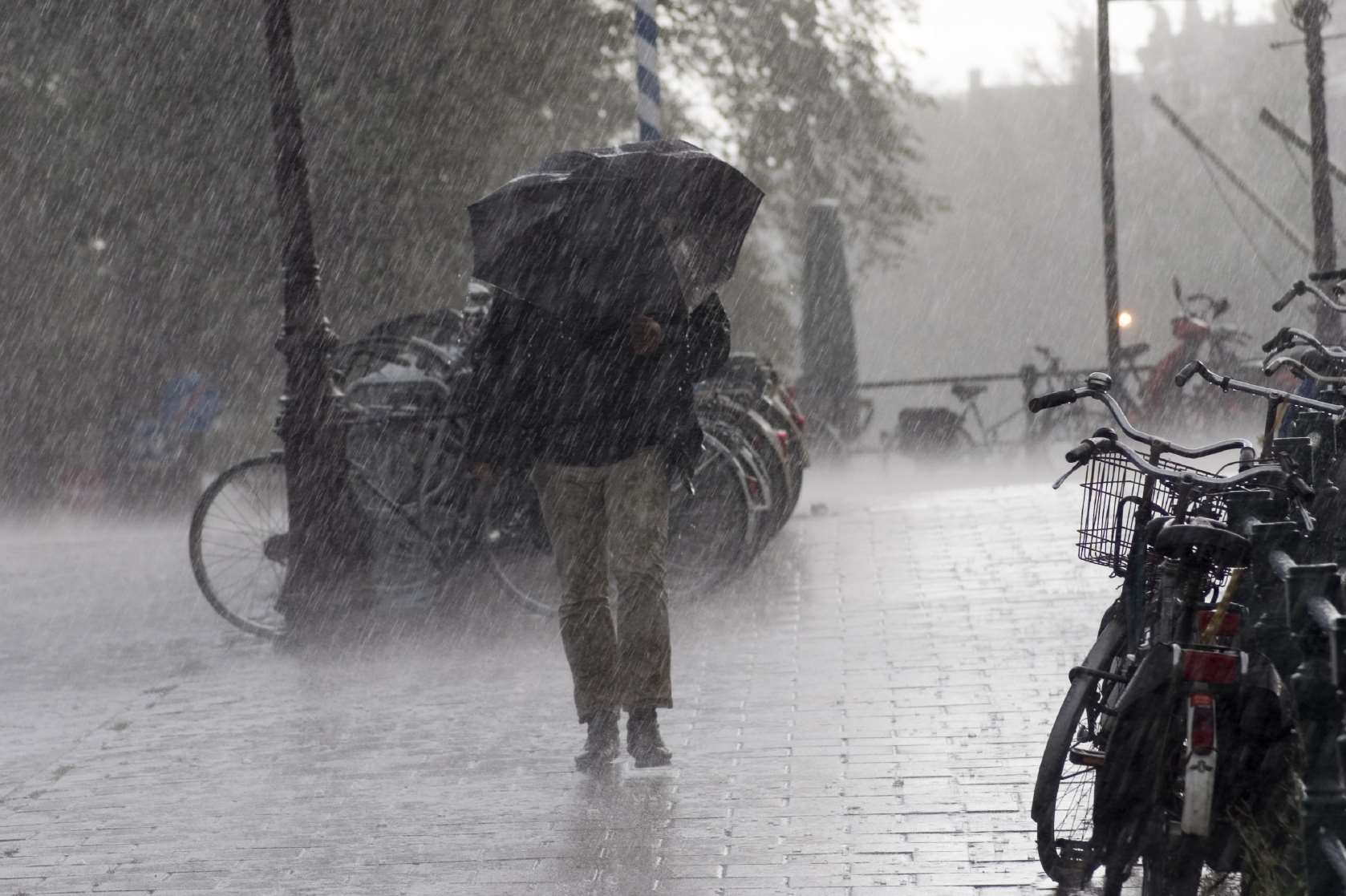
High winds and rain are battering Kent this afternoon and the Met Office has issued a yellow flood warning.
Severe gales were predicted for The Channel coasts with gusts of 60 to 65 miles per hour possible along the coast and 40 - 45 mph inland.
Train services between Whitstable and Faversham were suspended this afternoon after a sheet of corrugated roofing blew onto the line.
The power had to be turned off while engineers removed it and checked there was no damage.
It was restored at 3.30pm but services are now running around an hour late.
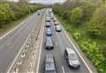
Drivers are also being warned to be aware of the difficult conditions.
Southerly winds strengthened during the morning and are expected to be severe at times along the Channel coasts.
They are expected to steadily decrease from the west this evening, but the public is being warned of possible travel disruption.
Kent is expected to miss the worst of the heaviest downpours, which are more likely to affect southwestern England and parts of Wales, but could still experience localised flooding.
The weather front is being blamed on 'relatively warm, moist air being drawn up from the southwest on the strong southerly flow to generate some heavy rain over south-facing coasts and hills in particular'.