GO AD-FREE. Get 2 Months Digital Subscription for ONLY £1! Use code 2FOR1
GET STARTEDMore on KentOnline
GO AD-FREE. Get 2 Months Digital Subscription for ONLY £1! Use code 2FOR1
GET STARTEDMore on KentOnline
The Met Office is predicting the coldest week of the winter could be on its way.
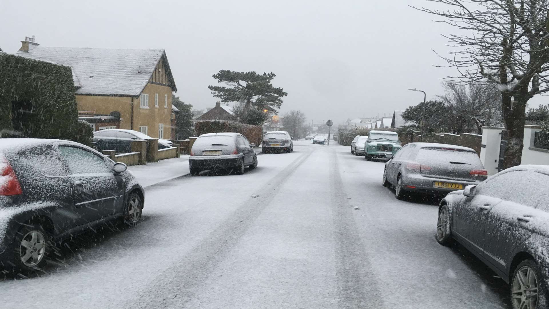
A series of weather warnings are in place, forecasting snow and ice from tonight, the Met Office said.
The temperatures could plummet as low as minus 7C in some parts of the UK, but here in Kent it is predicted to drop to minus 2C.
Met Office forecaster Craig Snell said the first full week of February will probably be "one of our coldest weeks of this winter so far".
He said: "It's going to be a cold week, plenty of dry weather around, but many places will probably see some snow at some point during the week, but for a lot of us not really amounting to much at all.
"Probably one of our coldest weeks of this winter so far, but snow-fall wise, doesn't really look too disruptive at this stage."
The Met Office has issued a yellow weather warning for snow and ice between 8pm tonight and 10am on Monday. Some roads and railways are likely to be affected with longer journey times by road, bus and train services. Some icy patches are likely to develop on untreated roads, pavements and cycle paths.
Scattered rain, sleet and snow showers coming in from the north sea are expected to be most frequent in Kent and East Sussex on Sunday evening, before affecting parts of East Anglia and Greater London later into the night.
Around 1-3cm of snow could accumulate inland, mainly over hills above 100 metres.
Mr Snell said the working week would start on a "bitterly cold" note, with the bulk of the population waking up to temperatures between 0C to minus 2C.
Then, between 9pm on Monday and 3pm on Tuesday, there is a further chance of snow and ice for the north of England, northern Ireland, north Wales and Scotland.
A spell of rain, sleet and increasingly snow will move east across the UK, gradually weakening across England and Wales.
Mr Snell added: "Quite a lot of the UK will see some snow as we head through Tuesday but as it ventures into the Midlands, south-west England and eventually later in the day across south-east England, it's just going to be a few flakes of snow.
"So many people will see some snow but don't expect to build a snowman."

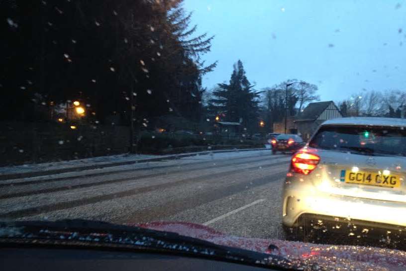
The forecast for the south east is for scattered wintry showers tonight, with icy surfaces expected, and brisk easterly winds persisting on the Kent coast.
On Monday we are expected to wake up to frost, then the rest of the day will be remaining cold with sunny intervals. Scattered snow flurries are expected and brisk winds will continue near the coast. It will be very frosty overnight.
The Met Office said it will be cold and bright on Tuesday with intermittent light snow later, then frosty overnight.
It is forecast to be sunny on Wednesday, but cold with wintry showers, then overnight frosts.
More sleet and snow is predicted for Thursday.