GO AD-FREE. Get 2 Months Digital Subscription for ONLY £1! Use code 2FOR1
GET STARTEDMore on KentOnline
GO AD-FREE. Get 2 Months Digital Subscription for ONLY £1! Use code 2FOR1
GET STARTEDMore on KentOnline
Heavy, thundery rain is set to batter Kent again - as the county is hit by another weather warning.
Forecasters say the worst of the weather - covered by a yellow warning for rain - will hit the region between 11am and 7pm today.
Scattered showers earlier are likely to develop into locally heavy and thundery conditions by this afternoon, with a risk of surface water flooding.
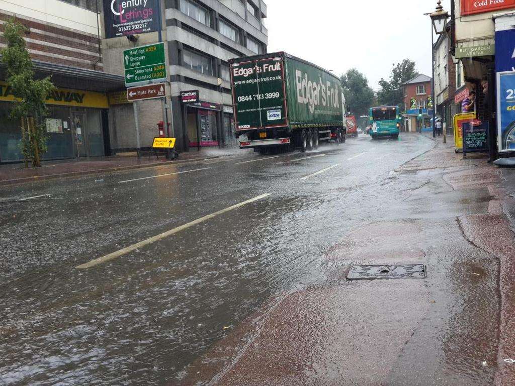
These should die out by this evening, but some places could see more than 15mm of rain in an hour - with double that in a two or three-hour time frame.
Meanwhile, Sheppey and the coast from Kemsley to Seasalter are under flood alert.
The Environment Agency says the areas at risk of coastal flooding are on Sheppey and the north Kent coast from Kemsley to Seasalter, including Sheerness, Minster, Queenborough, Leysdown on Sea, Sittingbourne and Faversham.
Stories you might have missed
Postcode lottery of county's cancer survival rates
Southeastern one of UK's least trusted train firms
Road rage victim back with family for son's birthday