GO AD-FREE. Get 2 Months Digital Subscription for ONLY £1! Use code 2FOR1
GET STARTEDMore on KentOnline
GO AD-FREE. Get 2 Months Digital Subscription for ONLY £1! Use code 2FOR1
GET STARTEDMore on KentOnline
Kent has been slapped with a weather warning by met office experts - as it faces transforming from wintry showers to a heatwave in just days.
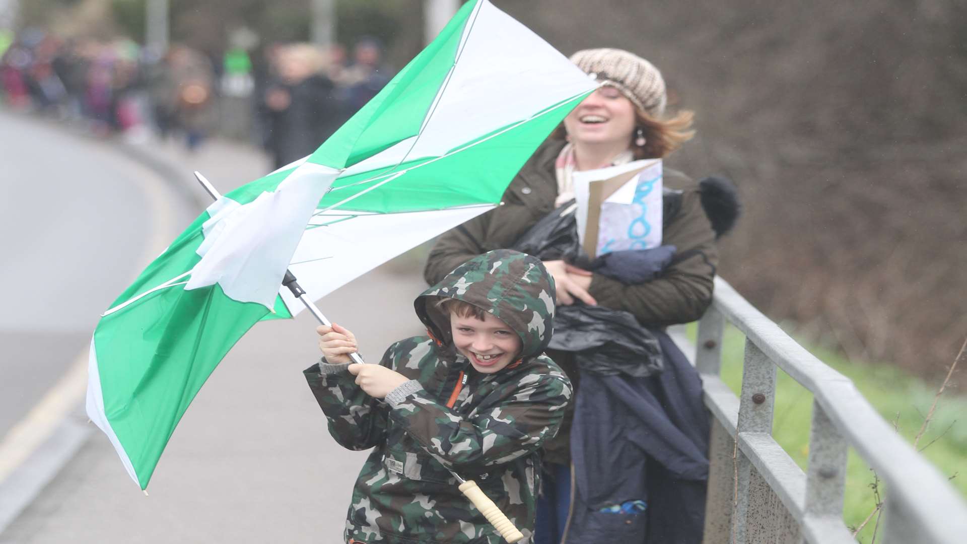
The region has been put under a warning for wind as miserable, rainy weather leaves travellers feeling that it's more like November than June.
Forecasters predict a mainly cloudy and windy day, with rain and drizzle at times.
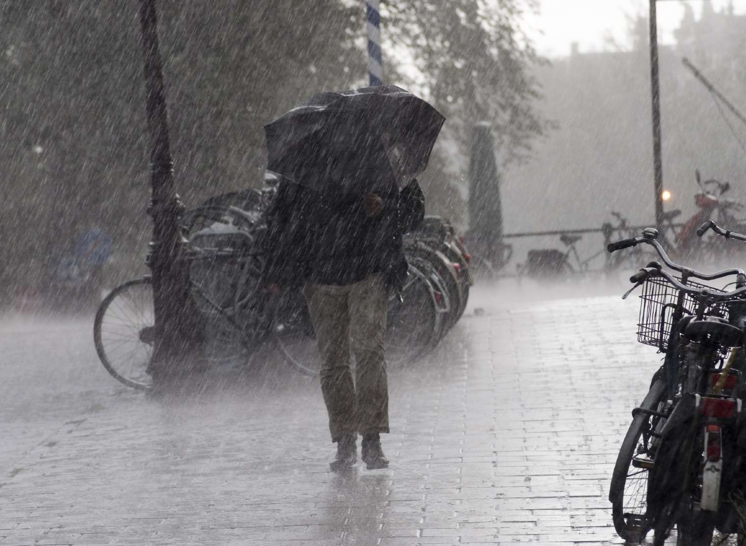
Gales are expected around some exposed coasts, but it should become drier this afternoon, with some brighter spells.
While the majority take shelter, this rubber duck photographed at Canterbury Cathedral - in full Archbishop regalia - seems to be enjoying the weather.
Staff at the landmark tweeted the amusing shot, with the message: "Happy #Tuesday from #Canterbury. Someone's happy with the weather! #britishsummertime".
It's a far cry from predictions for later this week, when it's expected to be hotter than Spain.
A heatwave at the start of June to rival the 2006 record summer is forecast.
From Thursday, the weather will settle down and get hotter as a plume of warm air from the Continent is expected to send the temperature gauge soaring up to 30c by next weekend.
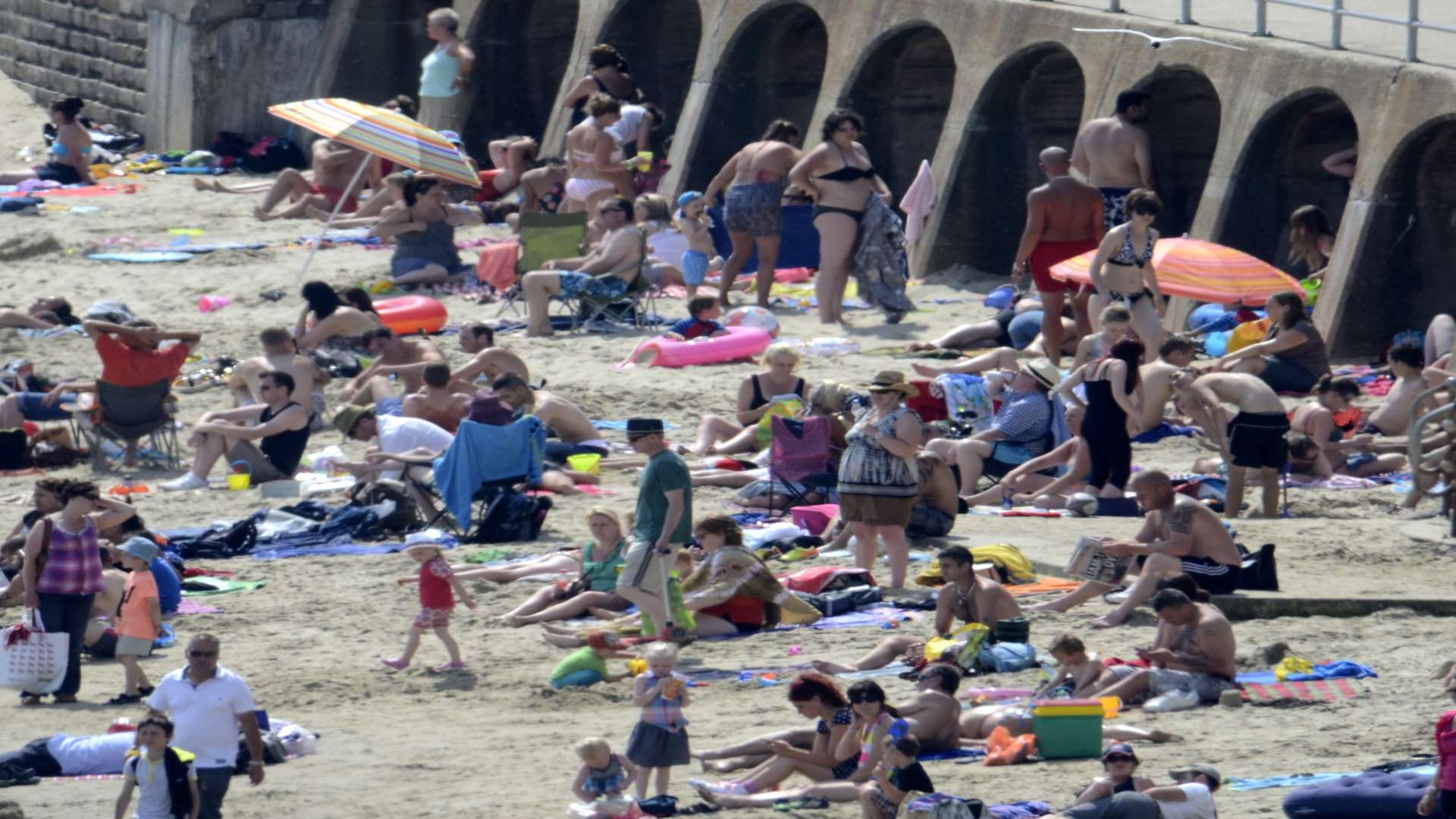
It will be welcome news for sun worshippers heading for Kent's beaches, which last month were rated some of best in the country.
Summer officially starts tomorrow, when the changeable wet and cool weather will start to turn.
It will be hottest in the south east with temperatures cooling the further north you are.
Bookies are already slashing the odds on a record heatwave after the Met Office prediction.
Meteorologists are also forecasting a hotter than average summer using their three-month outlook, which they send as a contingency planner to the government, councils, transport chiefs and emergency services.
"Next week we could well be talking about a heatwave..." - British Weather Services forecaster Jim Dale
Met Office forecaster Marco Petagna said: "Monday and Tuesday will be cool and often wet and windy.
"But then the high pressure starts to build across the UK and and it certainly becomes very warm and locally hot in the south.
"Wednesday is the transition day from the unsettled to the better weather with temperatures reaching around 20C (68F) in the south.
"Friday and into the weekend will see a much bigger increase with strong sunshine."
The change, at least for southerners, will be welcome because it will follow a cool, wet and windy May, which had an average temperature of a just 9.6c.
British Weather Services forecaster Jim Dale said: “Next week we could well be talking about a heatwave.
“It is going to be quite a surprise for many, with quite a dramatic change in the weather expected.
“We are looking at temperatures quite widely in the mid-20Cs, possibly higher in parts, especially in the south and London.”
The UK will enjoy weather that is far above the 16C average temperature for June, thanks to the warm air from the continent.
The highest June temperature on record was during the 1976 heatwave when the mercury in Southampton soared to 35.6C.