GO AD-FREE. Get 2 Months Digital Subscription for ONLY £1! Use code 2FOR1
GET STARTEDMore on KentOnline
GO AD-FREE. Get 2 Months Digital Subscription for ONLY £1! Use code 2FOR1
GET STARTEDMore on KentOnline
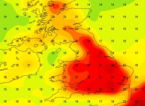
Kent could experience one of the hottest days of the year next week as Britain basks in a mini heatwave.
Temperatures are expected to rise steadily from Monday hitting potentially record highs by the middle of the week.
Faversham currently holds the title for the highest temperature in the UK, posting a reading of 38.5C in 2003.
But with the high temperatures comes an increased likelihood of storms, according to experts.
Brian Gaze, from weather blog The Weather Outlook, told KentOnline: "Kent is likely to be one of the UK's hotspots with temperatures possibly reaching 35C late next week.
"Humidity could build too leading to an increasing risk of thunderstorms. There's an outside chance of the July temperature record being threatened.
Mr Gaze said the heatwave is a result of a Spanish plume - a warm air front spreading north from the Iberian Peninsula.
The Weather Outlook has been running computer models to try to predict when and where the heatwave might strike.
Mr Gaze said: "There is uncertainty about the positioning of the core of the heat but during the last 24 hours computer models runs have been bringing it westward towards the UK."

"Some of the model runs show an extreme plume with temperatures over northern France reaching 38C (100F) and in the south of the UK heading towards an incredible 35C."
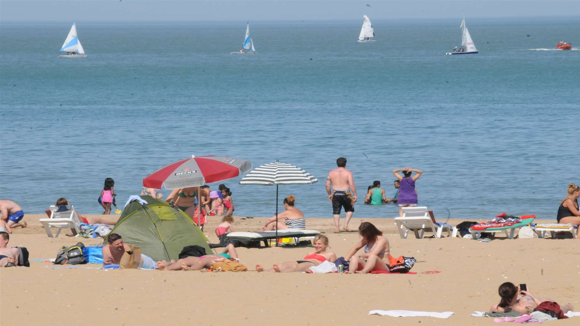
The hot weather could see Kent beaches packed with locals and holiday makers alike as people take advantage of the hot weather.