GO AD-FREE. Get 2 Months Digital Subscription for ONLY £1! Use code 2FOR1
GET STARTEDMore on KentOnline
GO AD-FREE. Get 2 Months Digital Subscription for ONLY £1! Use code 2FOR1
GET STARTEDMore on KentOnline
Kent is set for rain, high winds and plummeting temperatures just days after Storm Doris swept the county.
Trees fell across roads, both the Dartford and Sheppey bridges were closed and fire crews had endless call-outs on Thursday night and Friday as the storm ripped through Kent.
But just days later, forecasters say we are now set for yet more bad weather.
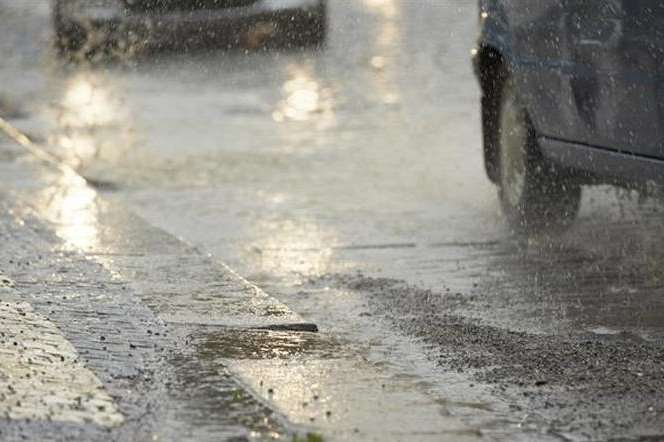
An Arctic wind will sweep into the UK early next week, which will bring with it heavy showers and thunder.
Temperatures could also fall below freezing.
Storm Doris wreaked havoc across the county last week, as the MetOffice issued a severe weather warning.
Trees were uprooted and there were speed restrictions on trains and ferry services were disrupted due to rough conditions in the Channel.
There were significant delays of up to an hour on Southeastern due to speed restrictions.
In Dartford, part of the roof of a building in Crossways Boulevard has been blown off.
And in Ashford, shoppers had a lucky escape when a metal sheet came loose from a shop and crashed to the ground.
There was more drama in Sheppey, where a wall between two shops collapsed and people were evacuated.
Shops at Neats Court retail park in Queenborough remain closed due to the damage.