GO AD-FREE. Get 2 Months Digital Subscription for ONLY £1! Use code 2FOR1
GET STARTEDMore on KentOnline
GO AD-FREE. Get 2 Months Digital Subscription for ONLY £1! Use code 2FOR1
GET STARTEDMore on KentOnline
Kent is bracing itself for further downpours today as a severe weather warning is issued for more heavy rain.
The Met Office has issued a yellow weather warning, which is in place until just before midnight tonight.
The Environment Agency also sent out flood warnings for New Romney and the Upper River Stour areas, but these are no longer in force.
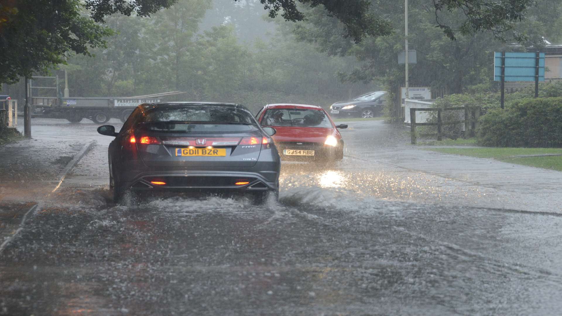
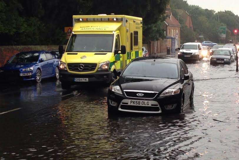
It follows yesterday's deluge, when more than a month's worth of rain fell in the space of a few hours in some areas.
Homes were hit by lightning and roads and businesses were flooded as heavy showers and thunderstorms swept through the county.
The conditions prompted forecasters to issue an amber weather warning - the second most severe - but this has since been downgraded to yellow.
There's unlikely to be much relief today, as "persistent and heavy" rain and thunder returns.
This is expected to clear throughout the day, but the Met Office predicts "intense thundery downpours" could develop again during the late afternoon and evening.
A spokesman said: "The public should be aware of a significant risk of localised disruption due to surface water flooding. Lightning may be an additional hazard."
More than 50mm of rain is likely to fall in some places, with between 15 and 25mm expected to fall per hour this evening.
Video: Catch up with the latest Kent video news in our KMTV bulletin