GO AD-FREE. Get 2 Months Digital Subscription for ONLY £1! Use code 2FOR1
GET STARTEDMore on KentOnline
GO AD-FREE. Get 2 Months Digital Subscription for ONLY £1! Use code 2FOR1
GET STARTEDMore on KentOnline
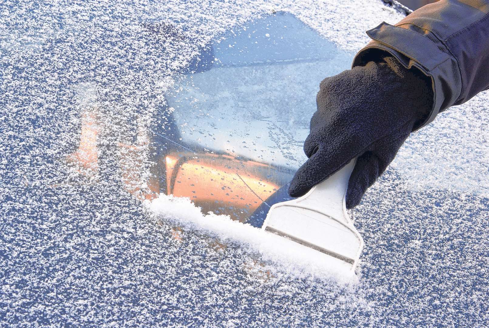
A warning has been issued by the Met Office that Kent faces more snow and ice tonight.
It comes into effect at 4pm and is expected to last until noon tomorrow, spreading across the area from the west and north.
A spokesman said: "Later in the night and on Sunday morning an area of rain, sleet and snow is expected which will lead to icy stretches and perhaps some slight accumulations of snow."
Motorists have been advised to beware of hazardous conditions on the county's roads.
Surface temperatures are expected to fall below freezing and gritting lorries will be out during the night and early tomorrow morning.
The spokesman said: "There is a chance of difficult driving conditions on untreated roads and slippery conditions on pavements and cycle paths are possible."
Clear spells this evening and tonight will lead to an early frost and one to two centimetres of snow could accumulate, mainly across higher ground above 150 metres.
This is also likely to lead to ice forming in places.
The warning comes after icy conditions earlier this week caused travel chaos for motorists across the county.