GO AD-FREE. Get 2 Months Digital Subscription for ONLY £1! Use code 2FOR1
GET STARTEDMore on KentOnline
GO AD-FREE. Get 2 Months Digital Subscription for ONLY £1! Use code 2FOR1
GET STARTEDMore on KentOnline
A severe weather warning for snow has been extended, as Kent prepares for the big freeze.
The Met Office says snow showers are due to hit early on Monday and become more persistent and widespread throughout Tuesday and Wednesday.
A yellow "be prepared" warning covering Kent has been brought forward to 2pm on Monday, and extended to Tuesday and Wednesday.
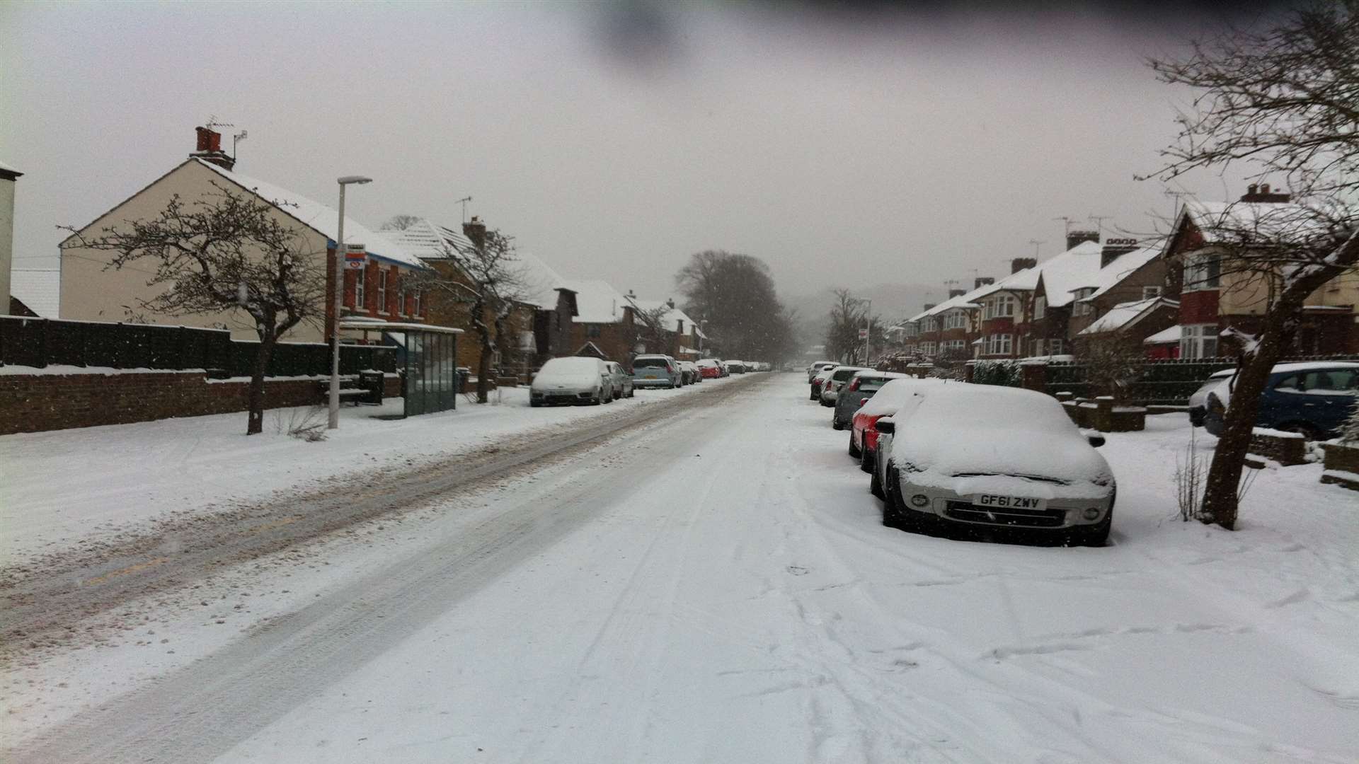
Some areas could see up to 20cm of snow.
Forecasters say the white stuff could cause travel chaos on roads and rails, stranding vehicles and passengers and causing delays and cancellations.
There are concerns rural communities could be cut off, and mobile phone signals and power supplies could be interrupted.
Many areas could see up to 2cm, but in areas hit by frequent, heavy snow showers, there is potential for 5 to 10cm.
On Tuesday, longer periods of snowfall are expected as temperatures struggle to get much above freezing.
Then on Wednesday, more heavy snow showers are expected, bringing further disruption and delays - and accumulations of up to 20cm.
As for this weekend, today will be sunny but cold, with a brisk wind. There will be a frost overnight, and tomorrow will be bitterly cold.

Commenting on the outlook for Monday to Wednesday in the south east, a Met Office spokesman said: "Extremely cold with snow showers becoming more widespread and also heavier, especially Monday night onwards.
"Significant accumulations are likely to develop in places, most likely across eastern areas. Becoming windy."
Further ahead, forecasters say there is a low probability of more significant snowfall on Thursday and beyond, but there is a lot of uncertainty at the moment.
Listen to kmfm for travel and weather updates.