GO AD-FREE. Get 2 Months Digital Subscription for ONLY £1! Use code 2FOR1
GET STARTEDMore on KentOnline
GO AD-FREE. Get 2 Months Digital Subscription for ONLY £1! Use code 2FOR1
GET STARTEDMore on KentOnline
Watch out - Storm Doris is on her way.
Kent is set to be lashed by winds of up to 70mph as the storm hits tomorrow.
A yellow "be aware" warning has been issued from 5am until 8pm.
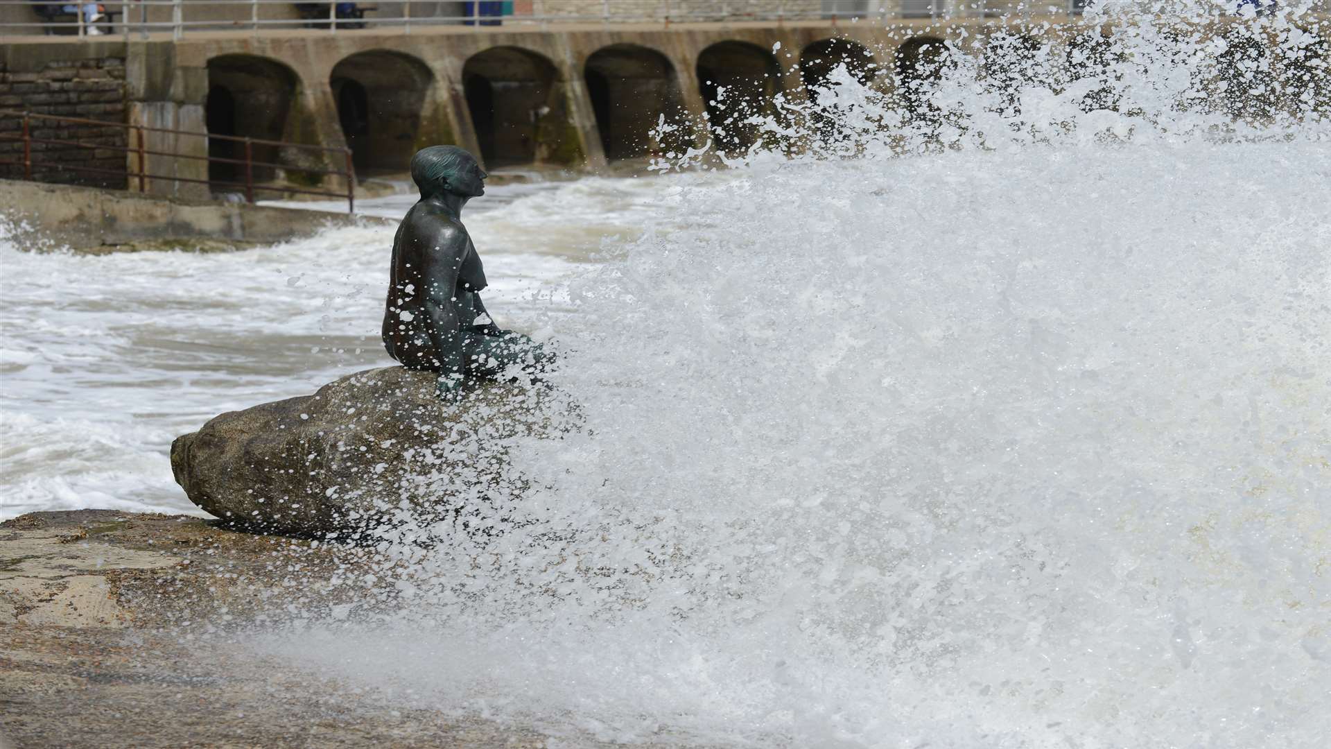
Most areas will see gusts of between 50 and 60mph, with the risk of 70mph on coasts and hills.
The Met Office says there could be travel disruption including restrictions on bridges and ferries, as well as possible damage to trees and buildings.
A spokesman said: "A rapidly deepening area of low pressure, named Storm Doris, is expected to move quickly east across the UK during Thursday with strong winds on its southern and western flanks.
"Whilst there is confidence in the very windy spell, there is still some uncertainty about the track of Doris, and therefore the extent of the strongest winds."
Meanwhile, Highways England is urging drivers to be prepared in the gales.
There is a particularly high risk to high-sided vehicles, caravans and motorbikes, a spokesman said.
The A282 at the QE2 Bridge in Dartford has been singled out as an area to avoid for such vehicles.
Richard Leonard, Highways England’s Head of Road Safety, said: “We’re expecting Storm Doris to have a significant impact on the roads throughout the day tomorrow so are urging drivers to consider changing their plans if necessary and to slow down in stormy weather.
“Drivers should look out for warnings on the electronic message signs and listen for updates in radio travel bulletins.
"Our traffic officers will also be ready to respond to any incidents during Storm Doris, and we’re urging drivers to respond to the changing conditions on the road to stay safe.”