GO AD-FREE. Get 2 Months Digital Subscription for ONLY £1! Use code 2FOR1
GET STARTEDMore on KentOnline
GO AD-FREE. Get 2 Months Digital Subscription for ONLY £1! Use code 2FOR1
GET STARTEDMore on KentOnline
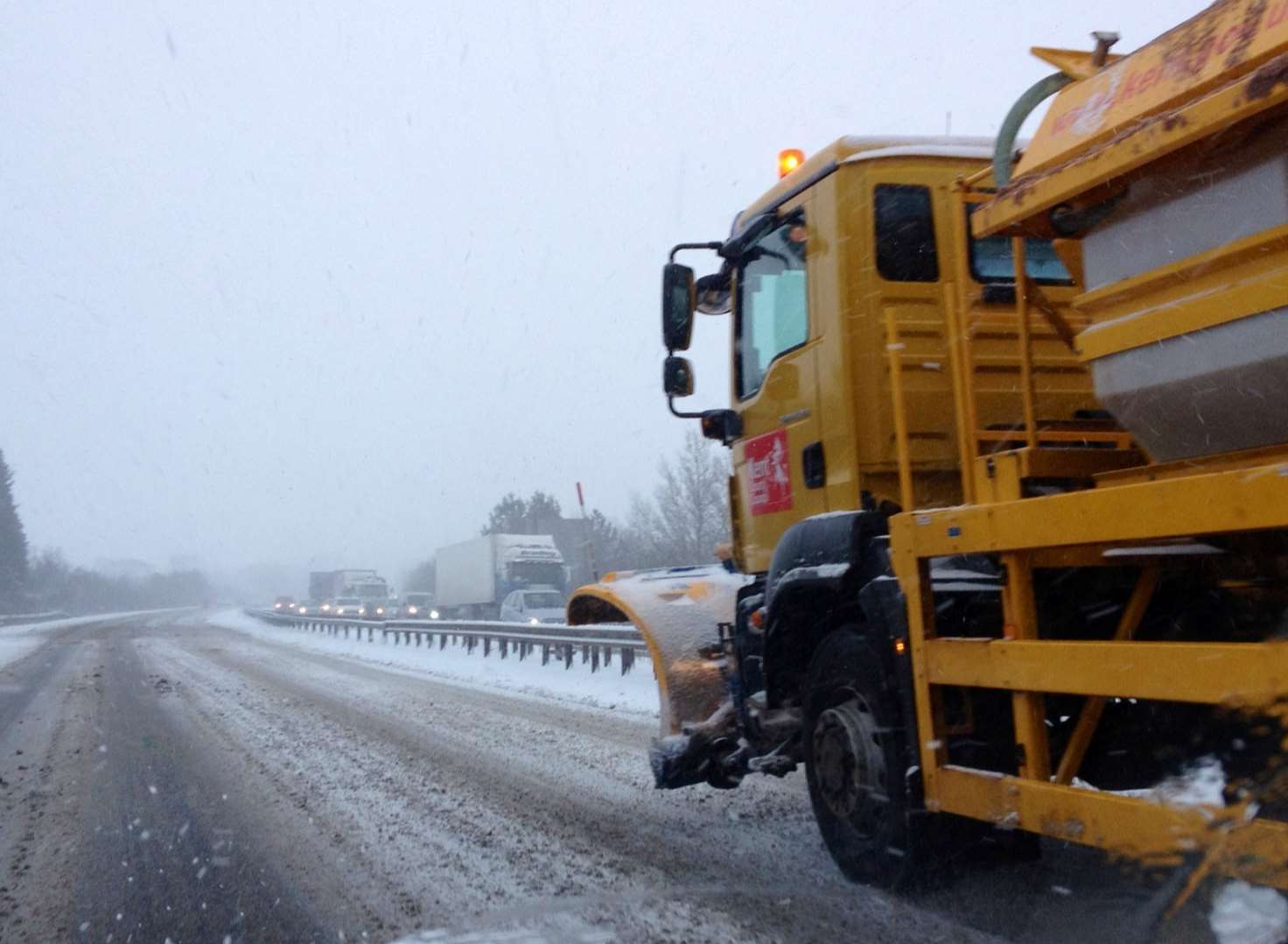
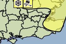
Parts of Kent saw wintry showers overnight, as the Met Office issued a yellow weather warning for snow and ice.
Forecasters said the conditions would affect the east and south east of England.
The warning was in place until noon today.
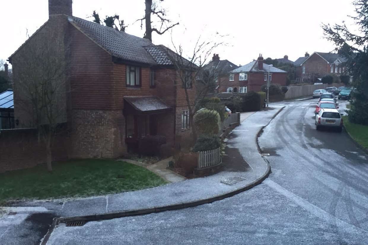
Just after 9pm last night, it was reported that snow had started falling in places including Sevenoaks, Swanscombe, Tonbridge and Dartford.
Speaking last night, a spokesman for swaleweather.com predicted a 70% likelihood of "light to moderate" snow.
He said: "Tonight we are expecting to see showers. They are looking to become more on the wintery side later for some especially around the coast."
With falling temperatures and wind chill, he expected it to feel like -6C for people across Kent.
Looking at the Swale picture, he added: "The area is overdue for snow. If you do not see any tonight then do expect to see some soon. Tomorrow is looking promising as the charts for our area have spiked.
"There are more higher risks for snow on the cards for next week as we continue to monitor the situation."