GO AD-FREE. Get 2 Months Digital Subscription for ONLY £1! Use code 2FOR1
GET STARTEDMore on KentOnline
GO AD-FREE. Get 2 Months Digital Subscription for ONLY £1! Use code 2FOR1
GET STARTEDMore on KentOnline
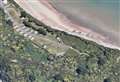
Miles of forgotten First World War trenches and defences snaking across Sheppey and Kent have been uncovered by an army of volunteers.
It’s part of a Defence of Swale project being carried out by Kent County Council’s archaeological team to mark the centenary of the conflict.
The findings confirm the Island was one of the most fortified areas of the country as the government prepared for a German invasion which never came.
One of the most exciting discoveries is a set of gun emplacements with weapons which were designed to swing round from the coastline and fire inland over Sittingbourne and Faversham.
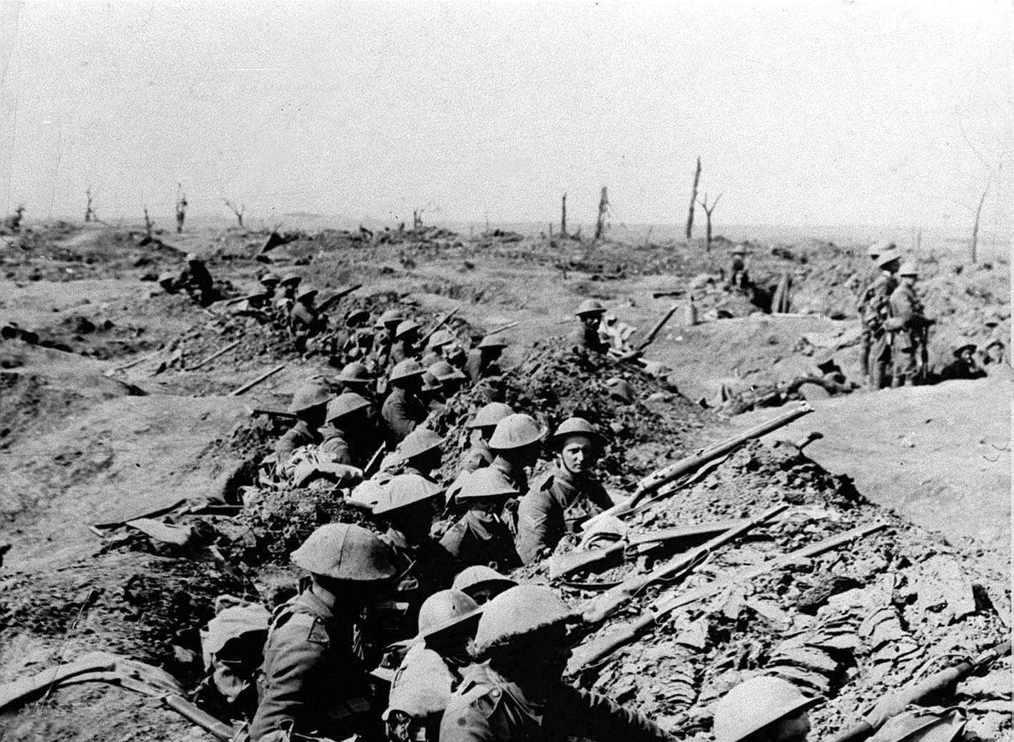
Using Royal Engineers’ records, the team has also been able to map the Island’s 11 miles of trenches which were based on systems employed on the Western Front.
Archaeologists believe the fortifications, the precise location of which is being kept secret to deter visitors, may be areas of national importance.
Sheppey historian Ken Ingleton said: “Trenches covered the north of the Island from Minster to Sheerness but over time most have disappeared over the cliffs.
“Sheppey was a serious defensive position during the First World War, preventing ships going up the Thames and to Chatham Dockyard.
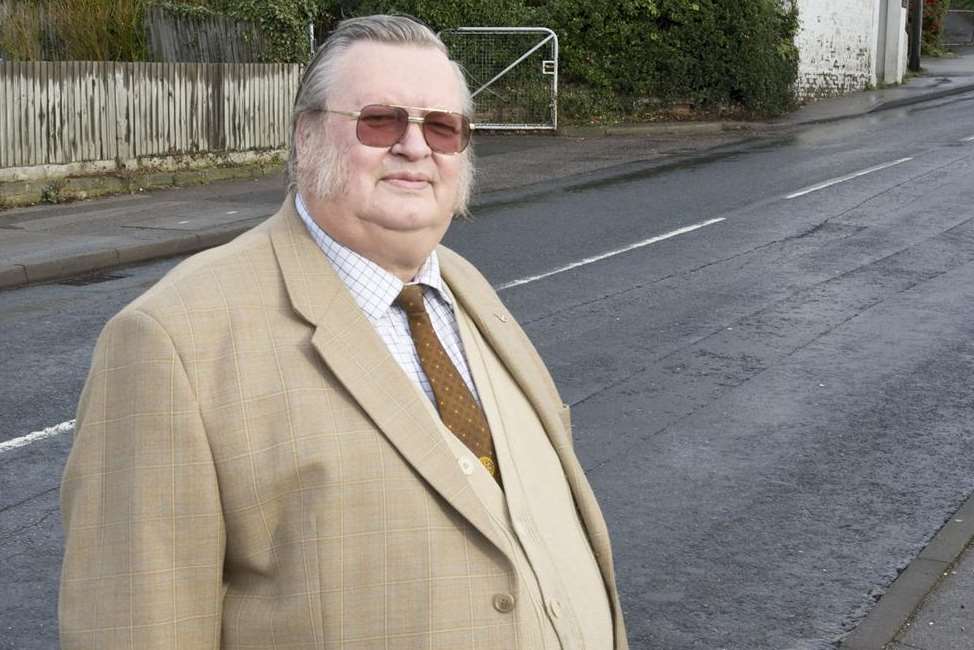
“It was also perceived to be an area that might be used to land invading forces – we had the dockyard and one of the first airports in England and a very large garrison.”
Mr Ingleton said the surviving trenches are on farmland in the south of the Island.
Such was the robust nature of its First World War defences, Sheppey became known as Barbed Wire Island.
Mr Ingleton said the Island, along with Dover, was designated a restricted area in Kent which led to extreme security measures.
He said: “The public weren’t allowed access to Sheppey.
“From May 20, 1916, any resident who wished to travel on or off the Island was issued with a passport.
“They could only use the passport during the day and this continued until the end of the war.”
Mr Ingleton said a copy of the Royal Engineers’ map of Sheppey outlining the trenches is available to view at Blue Town Heritage Centre.