GO AD-FREE. Get 2 Months Digital Subscription for ONLY £1! Use code 2FOR1
GET STARTEDMore on KentOnline
GO AD-FREE. Get 2 Months Digital Subscription for ONLY £1! Use code 2FOR1
GET STARTEDMore on KentOnline
Home Sittingbourne News Article
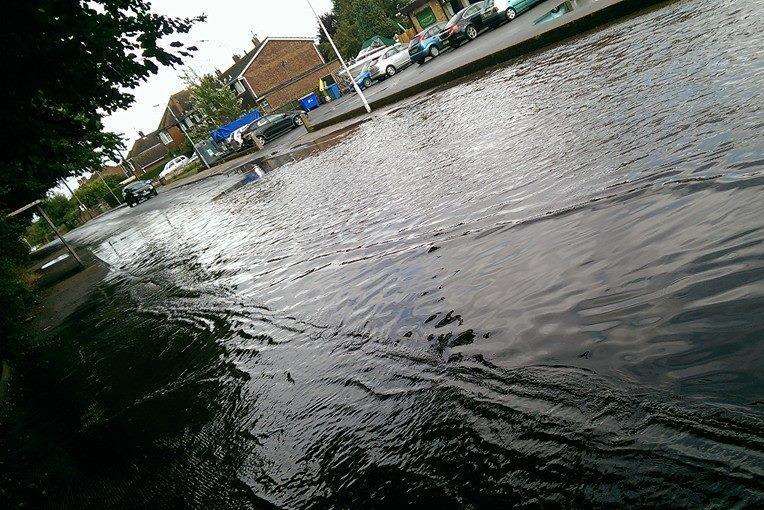
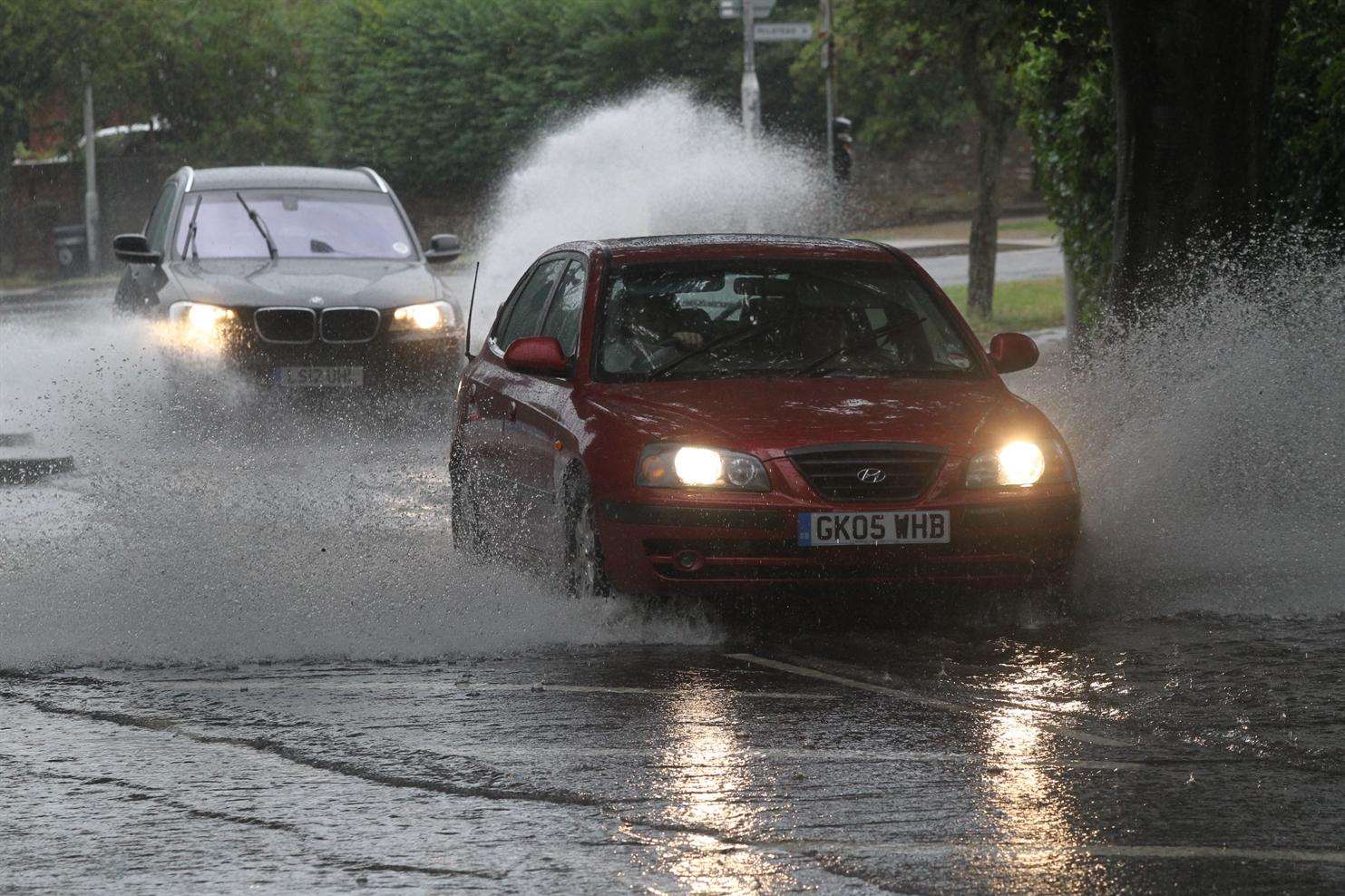
As the town finishes its mopping up operation after a series of flash floods, an unlikely reason for some of the chaos has emerged – the closure of Sittingbourne’s paper mill.
According to a council report the risk of flooding has increased since production ground to a halt at the mill in 2007.
A study carried out by Swale council in 2009 identified that the area faced multiple flooding threats, including a rise in groundwater level since the mill had stopped drawing underground supplies for paper production.
The local development framework (LDF) report stated: “Groundwater levels within the borough are changing. Industrial water abstraction has declined in recent years, highlighted by the closure of Sittingbourne paper mill.
“The reduction in groundwater abstraction in the centre of Sittingbourne has meant that groundwater levels have returned to their natural levels increasing the risk of localised groundwater flooding at times of intense rainfall.”
In the past month, Sittingbourne has been hit by several flash floods after heavy rainfall with the most recent problems occurring last Thursday.
Places affected have included College Road, Gadby Road, St Paul’s Street, Crown Quay Lane, the entrance to the Sittingbourne and Kemsley Light Railway, the Forum shopping centre, Asda and Mill Way near Morrisons where the paper mill once stood.
Groundwater flooding can happen when the level of water within the rock or soil that makes up the land surface starts to rise.
However, not all of the flooding to affect the town would have been as a result of the groundwater not being drained by the mill.
A lot of it will have simply been inability of the drains to cope with the levels of rainfall in such short bursts. Kent County Council has pledged to get to the bottom of the problems.
Drainage and flood manager Katie Lewis said: “Following the flash flooding, we have planned extensive investigation work to map key areas of the drainage system and better understand the causes at each location.
“This work will take a number or weeks and will enable us to determine where repairs and improvements are required but also where the flooding has been the consequence of exceptional rainfall and groundwater levels.”
A spokesman for Southern Water, which is responsible for drainage, said: “We know flooding is upsetting and we sympathise with those affected. We will be investigating the cause.”
The LDF report also identified that Swale was at risk from tidal and surface water flooding.