GO AD-FREE. Get 2 Months Digital Subscription for ONLY £1! Use code 2FOR1
GET STARTEDMore on KentOnline
GO AD-FREE. Get 2 Months Digital Subscription for ONLY £1! Use code 2FOR1
GET STARTEDMore on KentOnline
Residents could do their bit to stop their neighbourhood being flooded by keeping rainwater in tanks during massive downpours.
The water, which could also be stored in garden butts, could then be recycled or released after it has stopped raining.
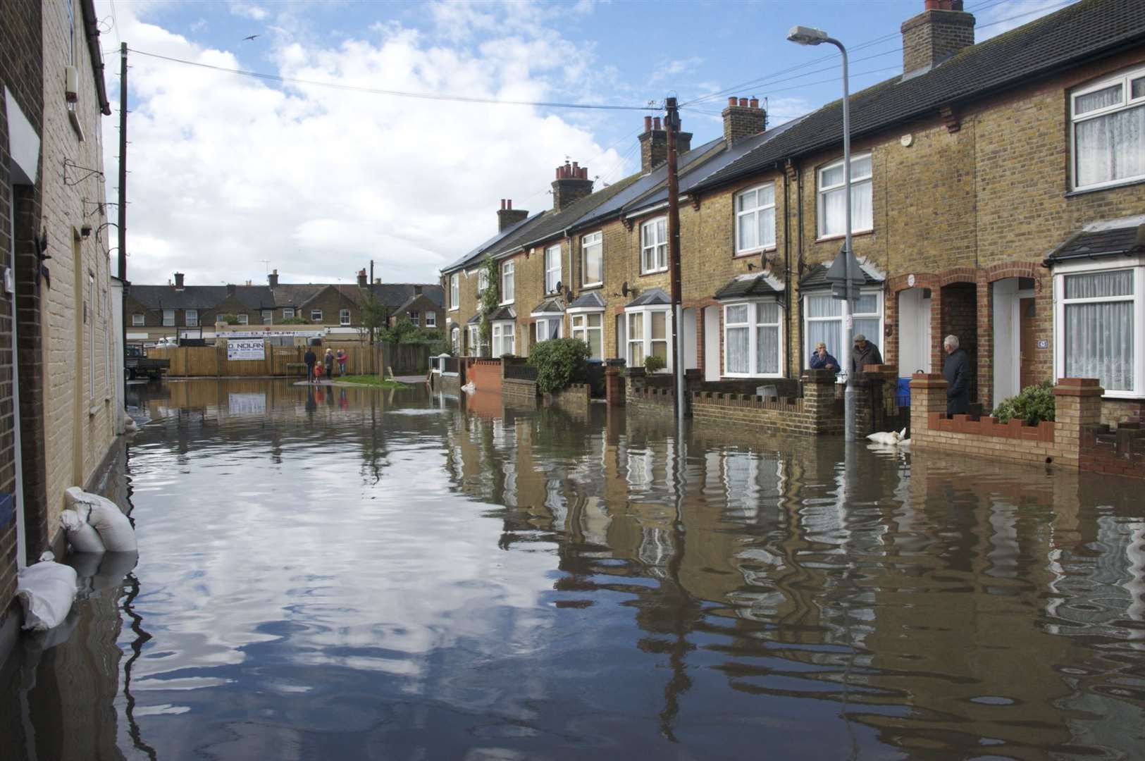
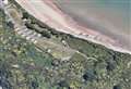
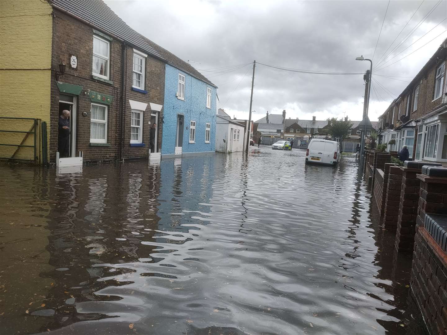
That's one solution offered in a new report to cope with flooding in prone areas in Deal, especially Albert Road.
The report, by the Deal Water Action Taskforce, says water stored in homeowners' tanks would reduce pressure on the drainage system.
Dover and Deal MP Natalie Elphicke, who is co-chairman of Deal-WAT, said: “Flooding has been a problem in Deal for far too long.
"It’s vital we bring this to an end - especially for the long suffering residents of Albert Road. But this report goes much further - it sets out how over time we can get rid of controversial storm drain overflows and make our water resources more sustainable for the long term.
" It’s so important for everyone to get involved - whether it is installing a water butt to catch rainwater or providing photos of any flooding seen taking place in the last 10 years and of blocked gullies or high water levels in ditches.”

Southern Water is also a Deal-WAT member and Dr Nick Mills, head of the company's storm overflow task force, said: “The improvements we’re suggesting in this report will help minimise disruption to people’s lives while also bringing real improvements to the environment."
Residents can also help prevent drains being clogged up for example by disposing of items such as wet wipes in bins rather than the toilet.
Albert Road has had 10 floods reported in the last 30 years, including two in the last two years.
It is particularly vulnerable because it is on low-lying land but other contributory factors include inadequate highways drainage and surface water drainage, the report says.
There is also the general problem of climate change, which is believed to cause shorter and more intense bursts of rainfall.
The report says that action already being taken by Southern Water includes having a new lighter gauge flap at the 90-degree pipe turn at Albert Road.
There is also the installation of new pumps at the nearby Golf Road Pumping Station and the cleaning of screens and pipes to reduce the chance of blockages.
Putting in high-capacity highway gullies in Albert Road, to ensure rainwater runoff is dealt with effectively, is expected to be done by this autumn.
There will also be new high-capacity pipe to re-direct more surface water away from Albert Road to Matthews Close Dyke, so relieving the strain on Albert Road itself.
This will provide more capacity in the road, to deal with excess water during heavy rainfall.
Also by the autumn Golf Road Pumping Station is due to be improved with additional monitoring instruments and control systems.
Deal-WAT is co-chaired by Ian McAuley, chief executive of Southern Water and its members also include representatives from Kent County Council and Dover District Council.
It was formed last year in response to regular flooding, particularly in Albert Road.
In a separate development a report has listed Dover district and Swale as the two most vulnerable parts of Kent to flooding from rising sea levels.
The nationwide scientific study from the University of East Anglia says this could put thousands of homes in Kent at risk of being abandoned from flooding or erosion within the next 30 years.
It lists 20 local authorities across the UK where more than 2,000 homes could be in peril.
.