Home   Kent   News   Article

Flood warnings in place for Kent by Environment Agency as Storm Franklin continues to threaten

Flood alerts have been issued in several stretches of the Kent coast as the recent bad weather continues to threaten the county.

The Environment Agency (EA) has issued FIVE alerts.

Flood alerts are in place for the north Kent coast from Dartford to Margate

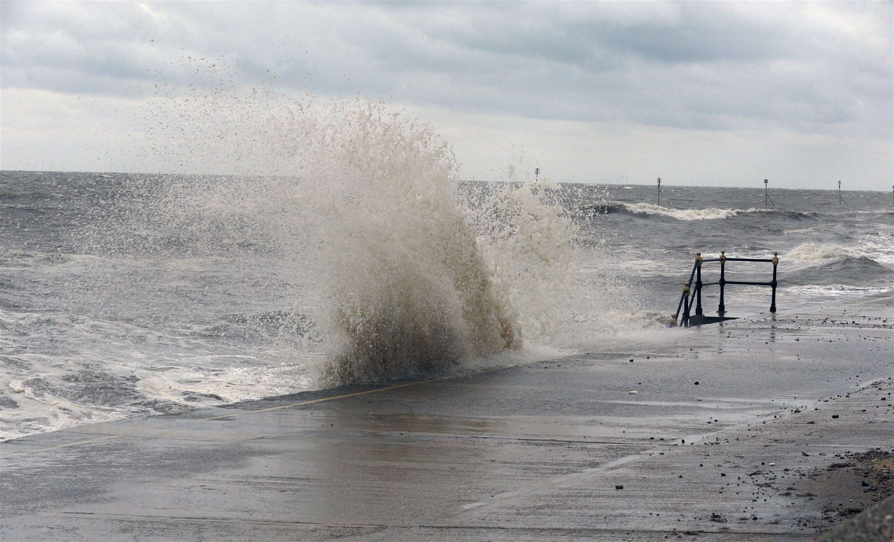
High tides have been forecast and are expected to affect coastal Kent throughout today (Monday).

Strong winds and unsettled weather brought in by Storm Franklin have caused higher water levels than normal.

It will affect lower lying locations nearest the coast.

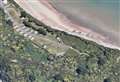
Alerts are in place for:

  • The Isle of Sheppey and coast from Kemsley to Seasalter including Sheerness, Minster, Queenborough, Sittingbourne and Faversham and the EA says worst affected areas will be around Faversham Creek, Conyer and low-lying parts of Seasalter.
  • The coastal stretch from Whitstable to Margate including Herne Bay, Reculver, St Nicholas at Wade and Westgate-on-Sea with Seasalter seafront most at risk.
  • Tidal Thames riverside from Dartford Creek and The Mardyke to the Thames Barrier.
  • Flooding is also predicted in areas such as the Tidal Medway, Medway estuary and Isle of Grain from Aylesford, the Medway Towns, Lower Halstow and Middle Stoke and Lower Stoke. The agency says areas most at risk are Strood to Upnor.
  • Dartford to Allhallows coastline covering Crayford, Greenhithe, Northfleet, Gravesend and the north Kent marshes. The EA warned the riverside from Gravesend Town Pier to the Promenade is at most risk.

For more information visit gov.uk flood warnings, call Floodline on 0345 988 1188 using quickdial code: 217005 or follow @EnvAgency and #floodaware on Twitter.

Close This site uses cookies. By continuing to browse the site you are agreeing to our use of cookies.Learn More