GO AD-FREE. Get 2 Months Digital Subscription for ONLY £1! Use code 2FOR1
GET STARTEDMore on KentOnline
GO AD-FREE. Get 2 Months Digital Subscription for ONLY £1! Use code 2FOR1
GET STARTEDMore on KentOnline
Kent is bracing for heavy rain and potential flooding as wet weather hits the south-east.
A yellow weather warning has been introduced for two-thirds of the county.
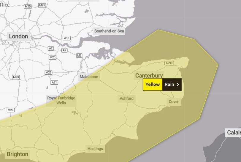
Maidstone, Canterbury, Ashford, Tunbridge Wells and Thanet are among the areas covered by the caution.
It is set to last from 3pm today until midday tomorrow.
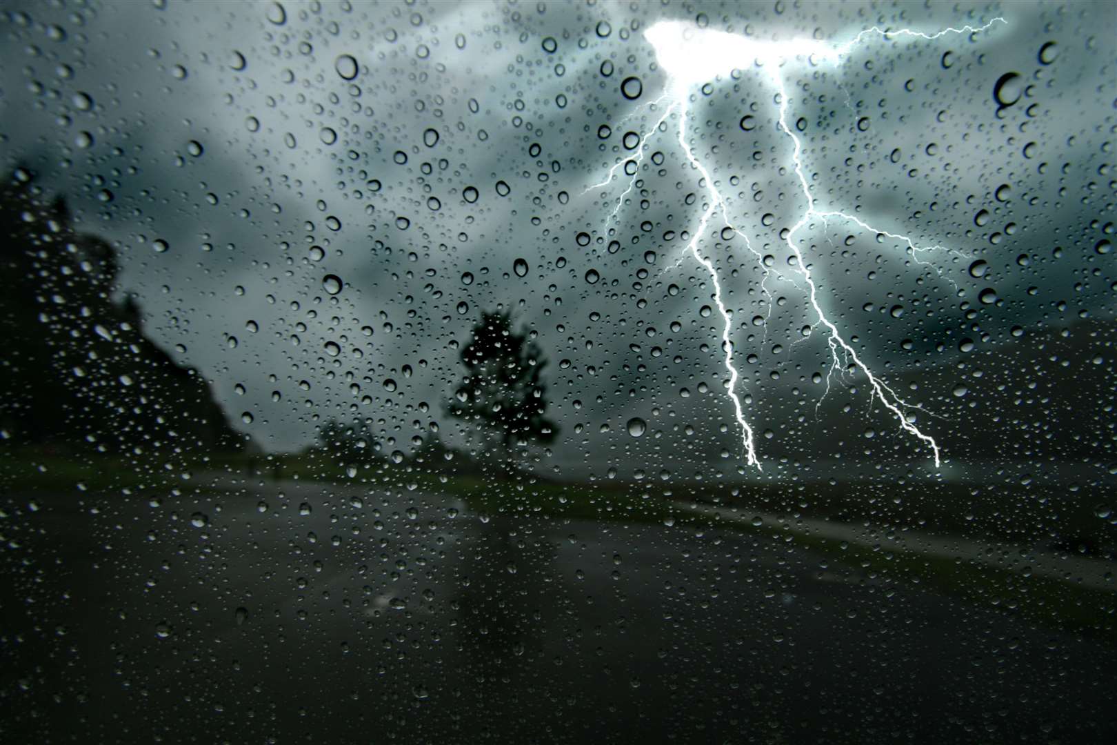
Weather experts say driving conditions could be affected by spray, standing water and even hail.
There may also be delays to train services, power cuts, flooding and lightning strikes.
There are also warnings that some homes and streets could be flooded.
While there have been more wet days recently, the driest parts of the UK need to see rainfall at “more than record-breaking” levels this autumn to recover from the joint hottest summer on record, the Met Office says.
Southern England still needs more than 400mm of rainfall to reach the average amount of rain for the year, which would require the region to experience the wettest autumn ever.
Almost a third of the average amount of rain expected for the month of September in the south has fallen in just six days - however, it is not enough.
So far, 2022 has been the driest since 1976.