GO AD-FREE. Get 2 Months Digital Subscription for ONLY £1! Use code 2FOR1
GET STARTEDMore on KentOnline
GO AD-FREE. Get 2 Months Digital Subscription for ONLY £1! Use code 2FOR1
GET STARTEDMore on KentOnline
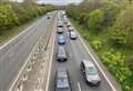
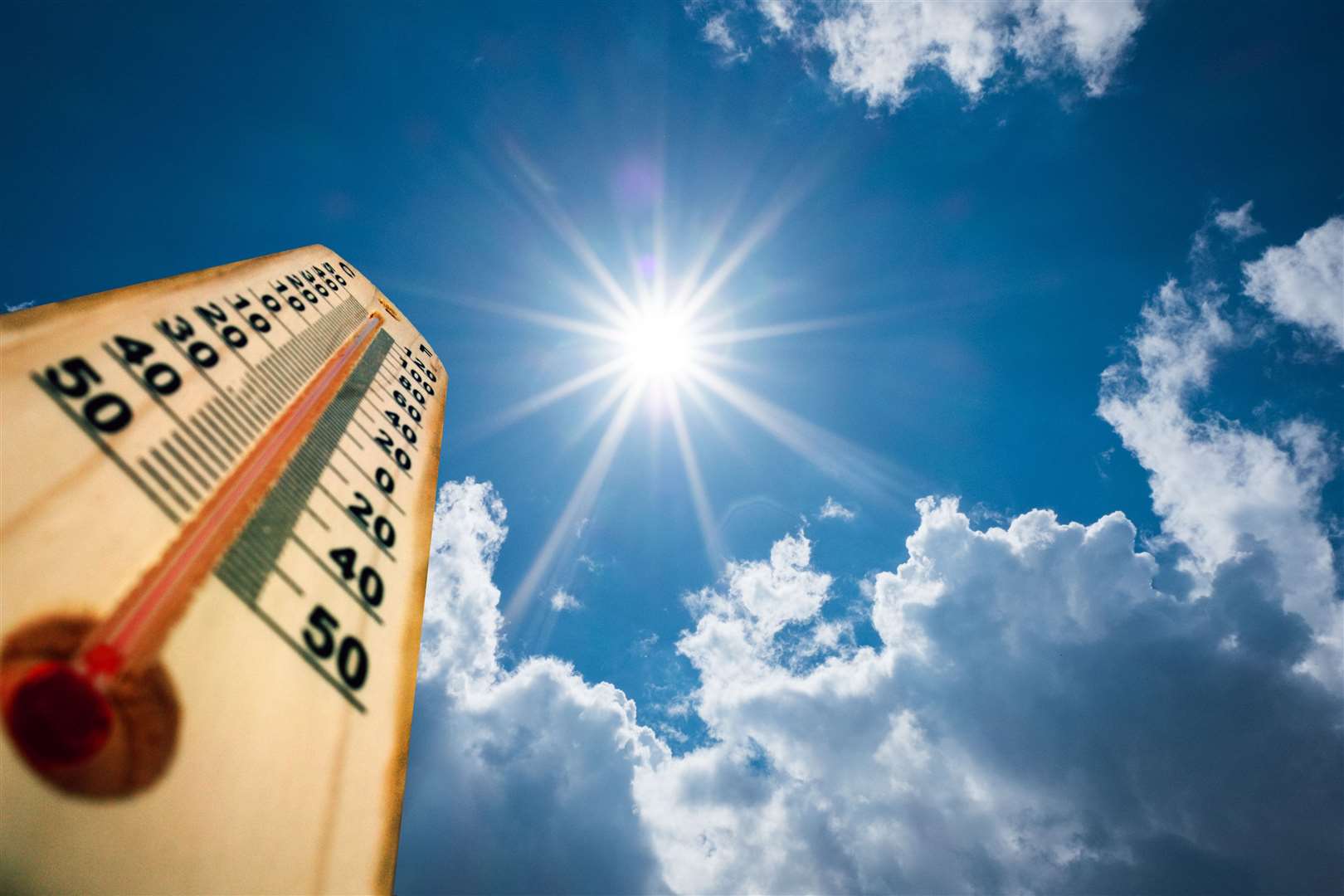
Temperatures could hit a blistering 34C today as the county faces a heatwave which has forced the UK Health Security Agency to further raise the heat-health alert level.
The Met Office has warned that the southern half of the UK is all likely to exceed 30C by Friday afternoon - with the mercury in the hottest parts reaching 34C in many places.
The sweltering heat - that has been building since Tuesday - prompted health officials to raise the risk level from two to three on Wednesday with warnings of potential health problems for vulnerable people.
The UK Health Security Agency and the Met Office have issued the Level 3 Heat-Health alert for London, East of England and the South East.
A level 3 alert is triggered when the Met Office confirms the threshold for one of more regions has been reached for one day and the following night, and the forecast for the next day has more than a 90% chance of doing the same.
An average threshold temperature is 30C by day and 15C overnight for at least two consecutive days. Forecasters have warned night-time temperatures may not drop below 20C in the hottest places.
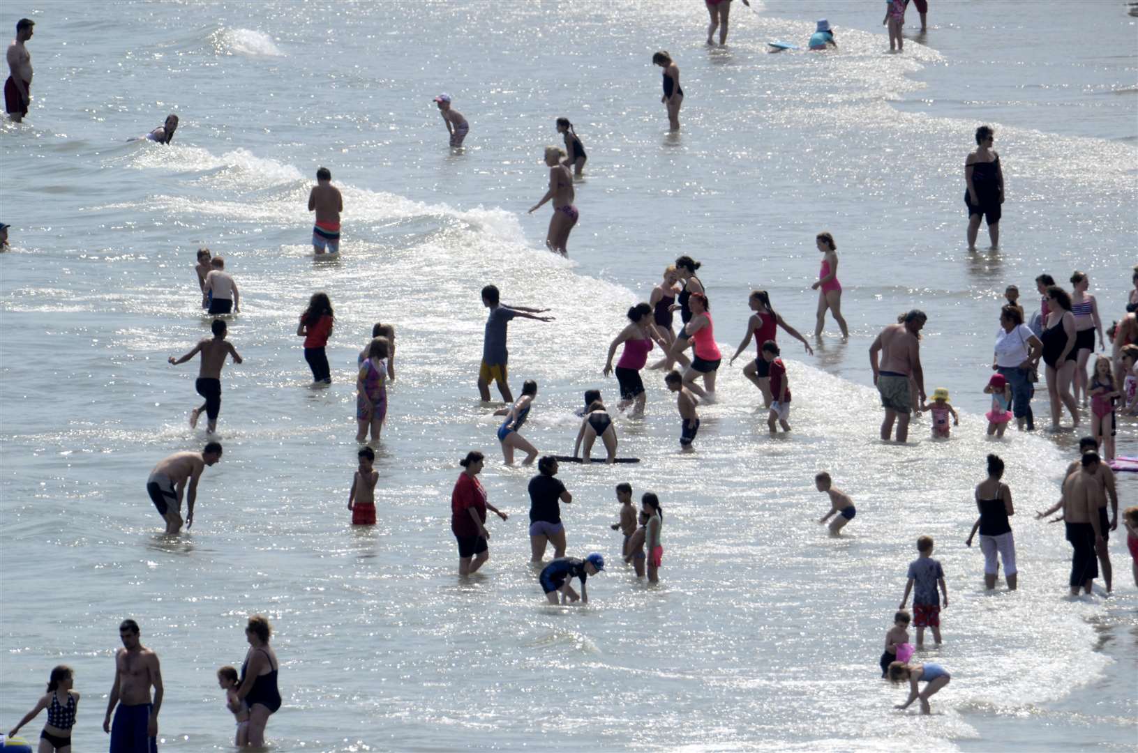
Dr Agostinho Sousa, Head of Extreme Events and Health Protection at UKHSA, said: "We want everyone to enjoy the hot weather safely when it arrives and be aware of good health advice for coping with warmer conditions.
"During periods of hot weather, it is especially important to keep checking on those who are most vulnerable, such as older people and those with heart or lung conditions. Make sure to look out for signs of heat exhaustion and follow our simple health advice to beat the heat."
Away from the northwest - where weather fronts are bringing rain and cloud to parts of Scotland and Northern Ireland - the settled conditions, says the Met Office, have allowed temperatures to build day-on-day.
But such high temperatures remain unusual for mid-June.
Meteorologist, Jason Kelly, said; “The heat is a result of a mix of home-grown warming due to a high pressure over the southern half of the UK, as well as a south westerly airflow bringing warm air, which has been over continent through the week, across the country.”
“This is the first spell of hot weather this year and it is unusual for temperatures to exceed these values in June. Some areas may see warm nights with minimum temperatures expected to be in the high teens or even low 20Cs overnight, especially in urban areas such as London.”