GO AD-FREE. Get 2 Months Digital Subscription for ONLY £1! Use code 2FOR1
GET STARTEDMore on KentOnline
GO AD-FREE. Get 2 Months Digital Subscription for ONLY £1! Use code 2FOR1
GET STARTEDMore on KentOnline
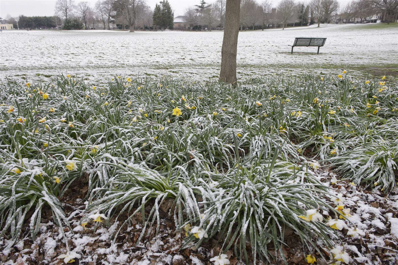
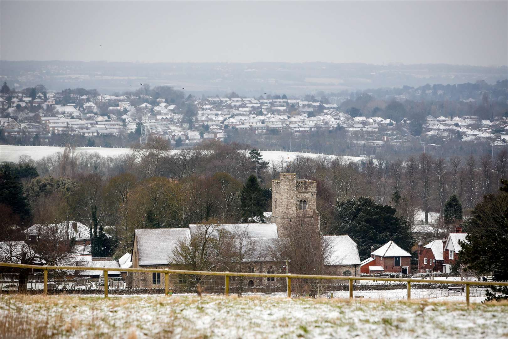
The weather forecast for Kent over the few days could see a slight dusting of snow settle in the county.
Experts say the next five days will be cold but mostly dry with some bright spells.
Today saw a cold frosty start with light winds but most places stayed dry and and maximum temperatures were predicted to reach 3C.
There is a chance of rain or sleet later tonight there will be further outbreaks of rain, sleet and perhaps some hill snow spreading east overnight with temperatures dipping to 1C.
It will also be quite cloudy overnight and tomorrow it is set to stay cold and some people will see fog in places.
Rain or sleet is also likely and forecasters say there might be brief snow falls across the North Downs, but this will gradually ease.
On Sunday and Monday it will largely be fine and dry but will become cloudy later after a bright start.
Overnight frost is also possible and Tuesday it will be windy in the morning with rain or snow later which will then clear and sunshine is expected.
Earlier this week some parts of the county saw some snow fall.
The white stuff coming down in Borstal, near Rochester were sent to KentOnline and other people also reported snow in Sittingbourne and the Lordswood area of Chatham.
Snowfall was also been seen in Tunbridge Wells, Maidstone and Ashford.
Kent's gritters were also out across the county during this week as temperatures fell below freezing.
The gritters treated all main roads to prevent ice forming and motorist were advised to watch for icy patches.