GO AD-FREE. Get 2 Months Digital Subscription for ONLY £1! Use code 2FOR1
GET STARTEDMore on KentOnline
GO AD-FREE. Get 2 Months Digital Subscription for ONLY £1! Use code 2FOR1
GET STARTEDMore on KentOnline
The Met Office weather warning for sleet and snow has been extended into Friday.
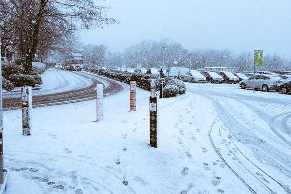
Forecasters say the wintry weather may hit parts of the county tomorrow, as a mixture of sleet and snow makes its way across the UK over the course of today, with ice potentially causing travel disruption.
A yellow warning is in place for much of the south east.
The Met Office said: "A wintry mix of sleet and snow showers are likely to extend inland across parts of eastern, southeastern and central England... These are likely to lead to icy stretches on untreated surfaces.
"The showers should become largely confined to the southeast later on Thursday where they may continue into the early hours of Friday."
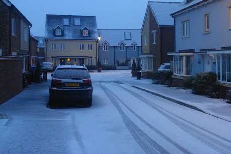
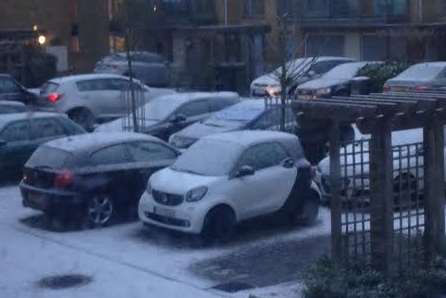
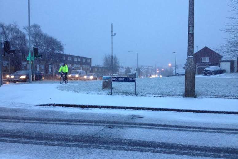
Kent has seen a few snow flurries so far this year, but with no prolonged falls, disruption has been minimal.
Click here to read Kent weatherman Darren Prescott's predictions.
Send your snow pictures to news@thekmgroup.co.uk
Stories you might have missed
Driver 'crushed' after car flipped on motorway
School on alert after pupils followed
Hundreds more GPs needed in Kent
Cat seriously hurt after being caught in 'barbaric' trap