GO AD-FREE. Get 2 Months Digital Subscription for ONLY £1! Use code 2FOR1
GET STARTEDMore on KentOnline
GO AD-FREE. Get 2 Months Digital Subscription for ONLY £1! Use code 2FOR1
GET STARTEDMore on KentOnline
More snow has been forecast for Kent and the South East, with a severe weather warning in place until Monday.
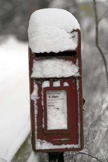
While the snow was very localised on Friday, snow continuing to fall in Whitstable as of 4pm, the following days will see more of the white stuff spreading across the county.
The Met Office has announced that outbreaks of snow starting on Saturday afternoon will become heavy and persistent during the evening and last into Sunday morning.
Anything from an average of 7cm to 12cm is expected, with some areas likely to have as much as 20cms.
However, that is covering a region stretching from Thanet to beyond Brighton, so not everywhere will suffer.
East Kent, which is gauged from a weather station at Manston, in Thanet, will be cloudy with snow on Saturday, with strong winds from the East meaning it will feel bitterly cold.
Temperatures will hover around freezing and Sunday will see further significant falls of snow thanks to those Easterly winds.
North Kent, in particular the weather station at Gravesend, is likely to see snow almost all day Saturday and again on Sunday.
There is some good news however, things should warm up on Tuesday!