GO AD-FREE. Get 2 Months Digital Subscription for ONLY £1! Use code 2FOR1
GET STARTEDMore on KentOnline
GO AD-FREE. Get 2 Months Digital Subscription for ONLY £1! Use code 2FOR1
GET STARTEDMore on KentOnline
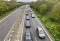
Kent has been subjected to a drenching today as the weather experts put the county under a weather warning.
The yellow warning for rain lasts until 10pm tonight, with some persistent and heavy rainfall.
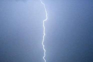
This afternoon is likely to be the worst time for the area, with intense, slow-moving thundery downpours creeping across Kent.
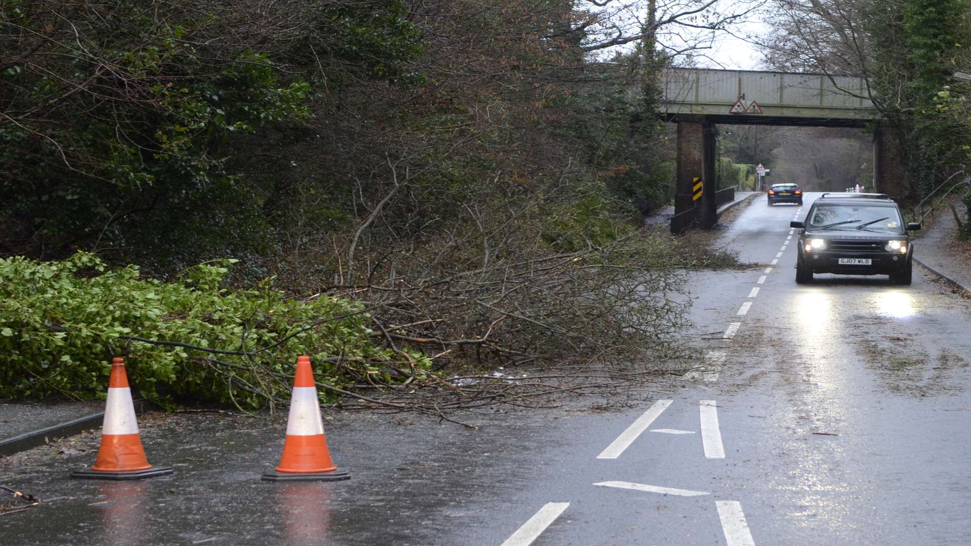
The Met Office warned of the risk of flooding, including potential disruption to travel.
There could be strong winds in exposed coastal areas.
A group of friends even spotted what they thought was a tornado in east Kent this afternoon.
A spokesman said: "A low pressure system is expected to run into the UK from the south on Monday morning, bringing areas of heavy rain particularly across some southern areas of England.
"There remains some uncertainty over the locations of the heaviest rain but with the potential for 20 mm to fall quite widely and with 40 to 60 mm possible in some places, much of this falling in a few hours.
"Latest indications are that the most intense rainfall may be expected across parts of southeast England and the southern portion of East Anglia during the afternoon, as brightening skies supply extra energy, leading to development of slow-moving thundery showers."