GO AD-FREE. Get 2 Months Digital Subscription for ONLY £1! Use code 2FOR1
GET STARTEDMore on KentOnline
GO AD-FREE. Get 2 Months Digital Subscription for ONLY £1! Use code 2FOR1
GET STARTEDMore on KentOnline
Kent could see a flurry of snow tomorrow with a cold snap set to sweep in and bringing with it wintry showers for most of the county.
Despite temperatures to rival Spain just a few days ago, it could be more like Iceland than Ibiza over the next 24 to 48 hours with the weather turning much colder.
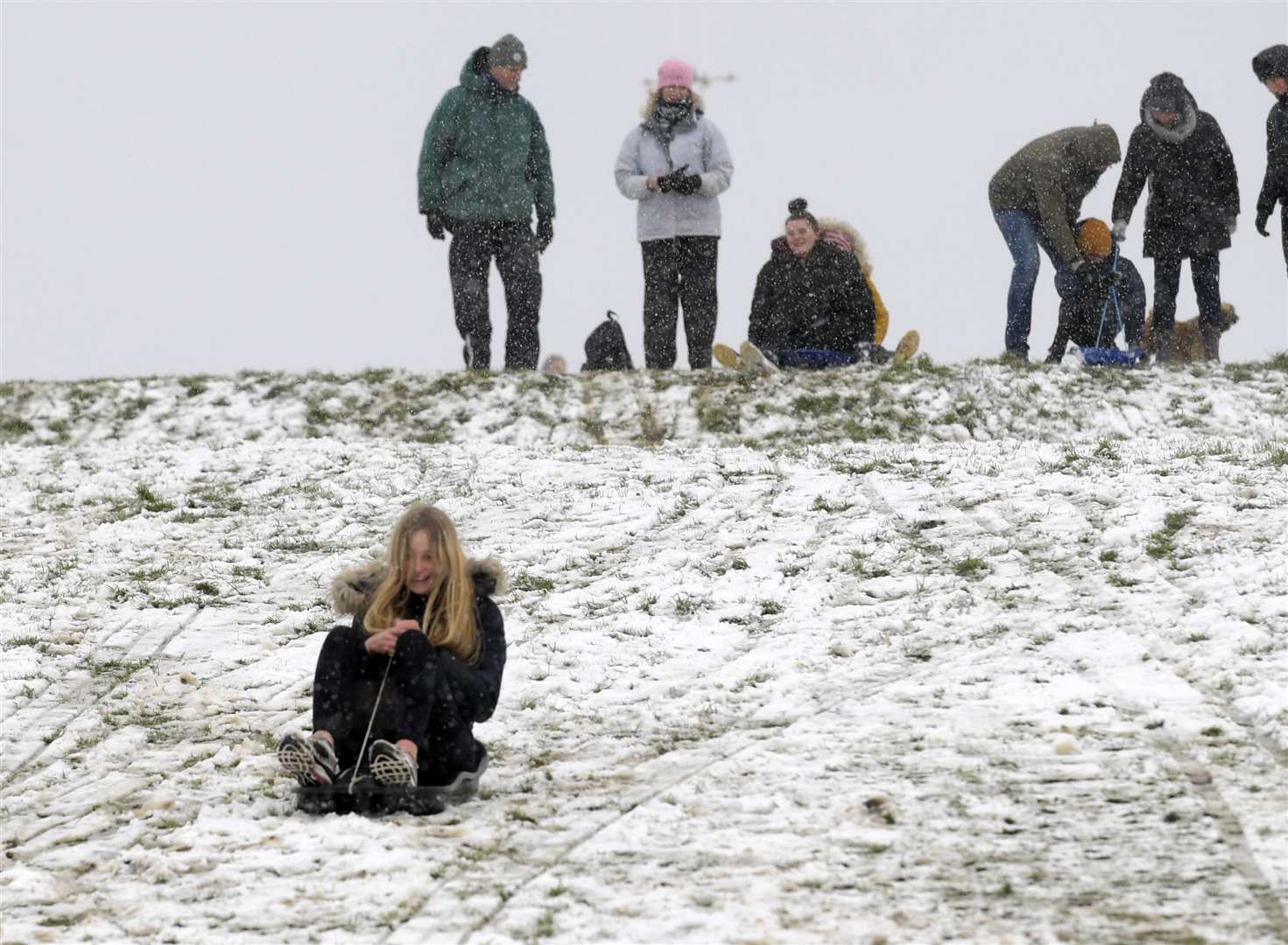
But alongside a noticeable drop in the mercury - and a far cry from last week's 20C spring sunshine - some parts of the south east could also see a snowflake or two say weather watchers.
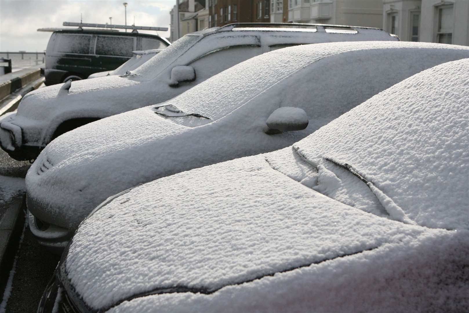
While today will be mostly cloudy and wet with average temperatures around 8C to 9C, by tonight they will fall significantly and the Met Office is forecasting that any rain still hanging around could turn to sleet or snow as it gets colder, particularly on higher ground.
And by tomorrow (Thursday) the wintry showers are set to become even more snow-like in some parts of the county while daytime temperatures are not expected to rise above 5C and could be as low as 0C, which is considerably below average for the time of year.
The Met Office forecast for Kent warns: "Rain continuing this evening, turning to wintry showers overnight. Feeling cold with strong winds, particularly near the coasts. Frosty by dawn.
"Blustery wintry showers, heavy at times on Thursday morning, gradually easing and becoming less frequent during the day."
Any snow is expected to clear by early on Thursday afternoon but forecasters say it will remain cold, particularly with the wind.
By Friday, the risk of any significant snowfall will have cleared but some wintry showers could remain with cloudy outbreaks of rain and snow possible into Saturday.