GO AD-FREE. Get 2 Months Digital Subscription for ONLY £1! Use code 2FOR1
GET STARTEDMore on KentOnline
GO AD-FREE. Get 2 Months Digital Subscription for ONLY £1! Use code 2FOR1
GET STARTEDMore on KentOnline
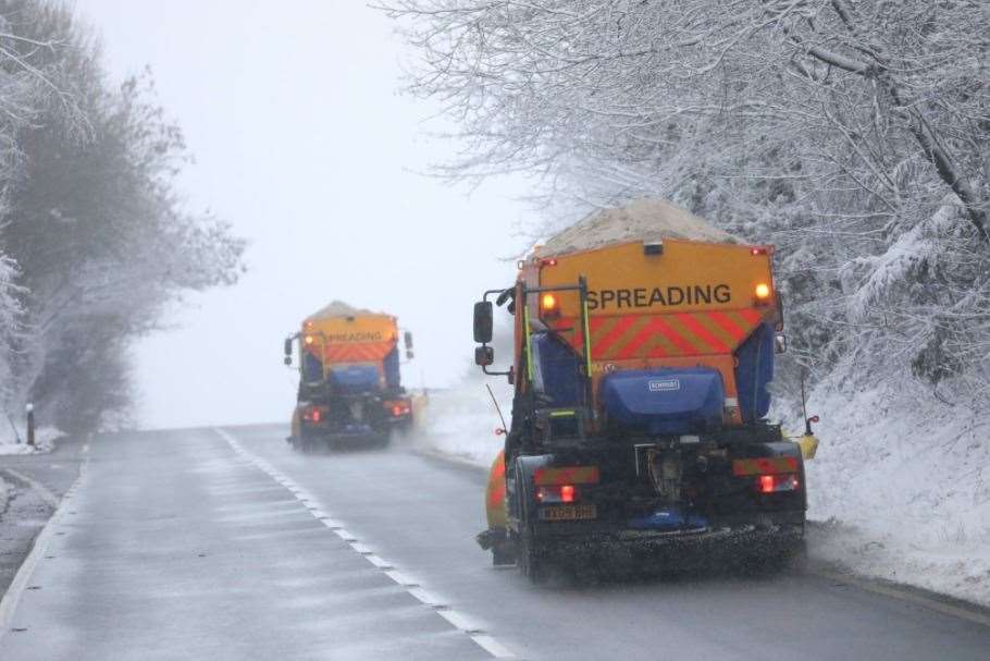
Snow has caused havoc on the county's roads and rail lines and further heavy showers are expected in the county which has an amber warning until Monday.
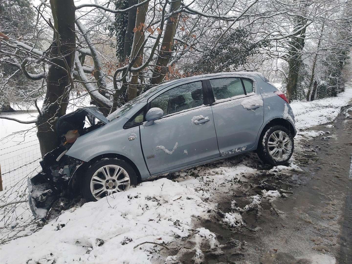
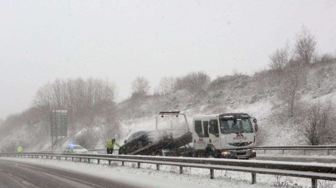
HGV drivers are stricken as the Sheppey crossing is blocked because of the weather and vehicles have veered off of roads prompting renewed warnings for people to stay off of the roads unless it's absolutely essential.
It came as The Met Office's predictions of heavy snowfall and disruption were realised for much of Kent today along with parts of south east England as temperatures plummet thanks to an icy blast from the east officially called Storm Darcy.
Flakes continued to fall around Canterbury and Dover and on the North Downs near Ashford, settling as rain turned to snow throughout the day.
An amber weather warning is in place in Kent and the South East until Monday.
Shortly before 11am, the Met Office extended the amber warning in place since 4am to midday on Monday as further snowfall is expected.
But people have been warned against all but absolutely essential travel and Southeastern has already cancelled services on several routes including between Dover Priory to Ramsgate via Deal, Dover Priory to Faversham via Canterbury East, Dover Priory to Folketone, Medway Valley Line, Sheerness Line, Bromley North Line, Hastings to Tonbridge and no trains were calling at Sandling or Westenhanger.
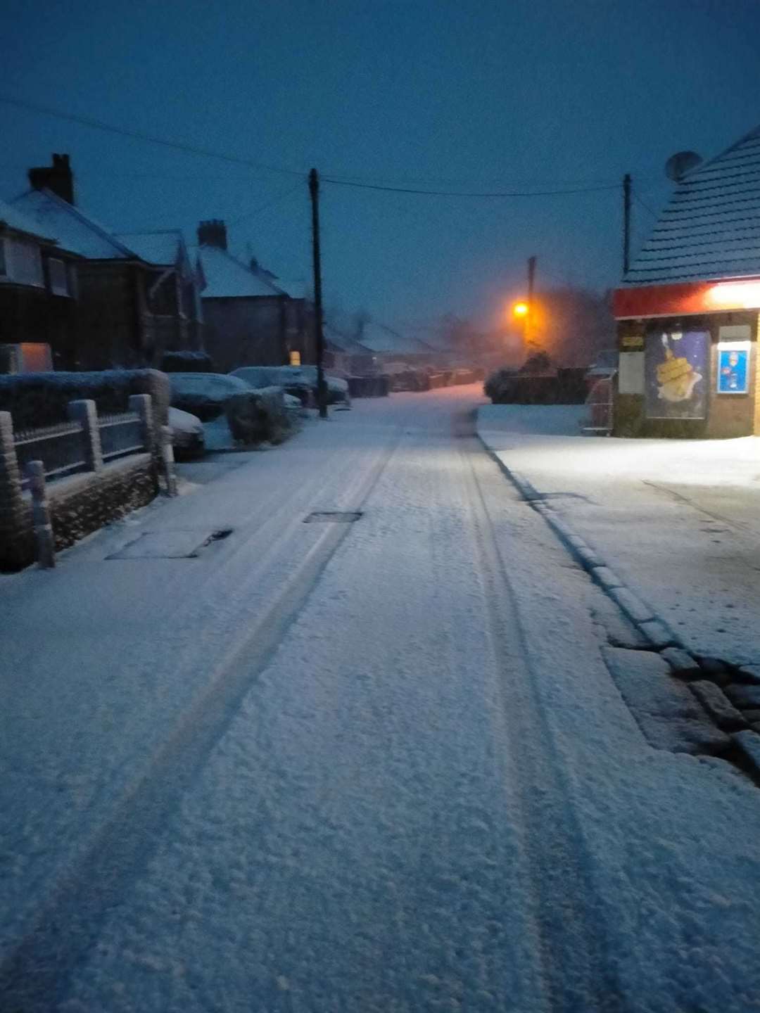
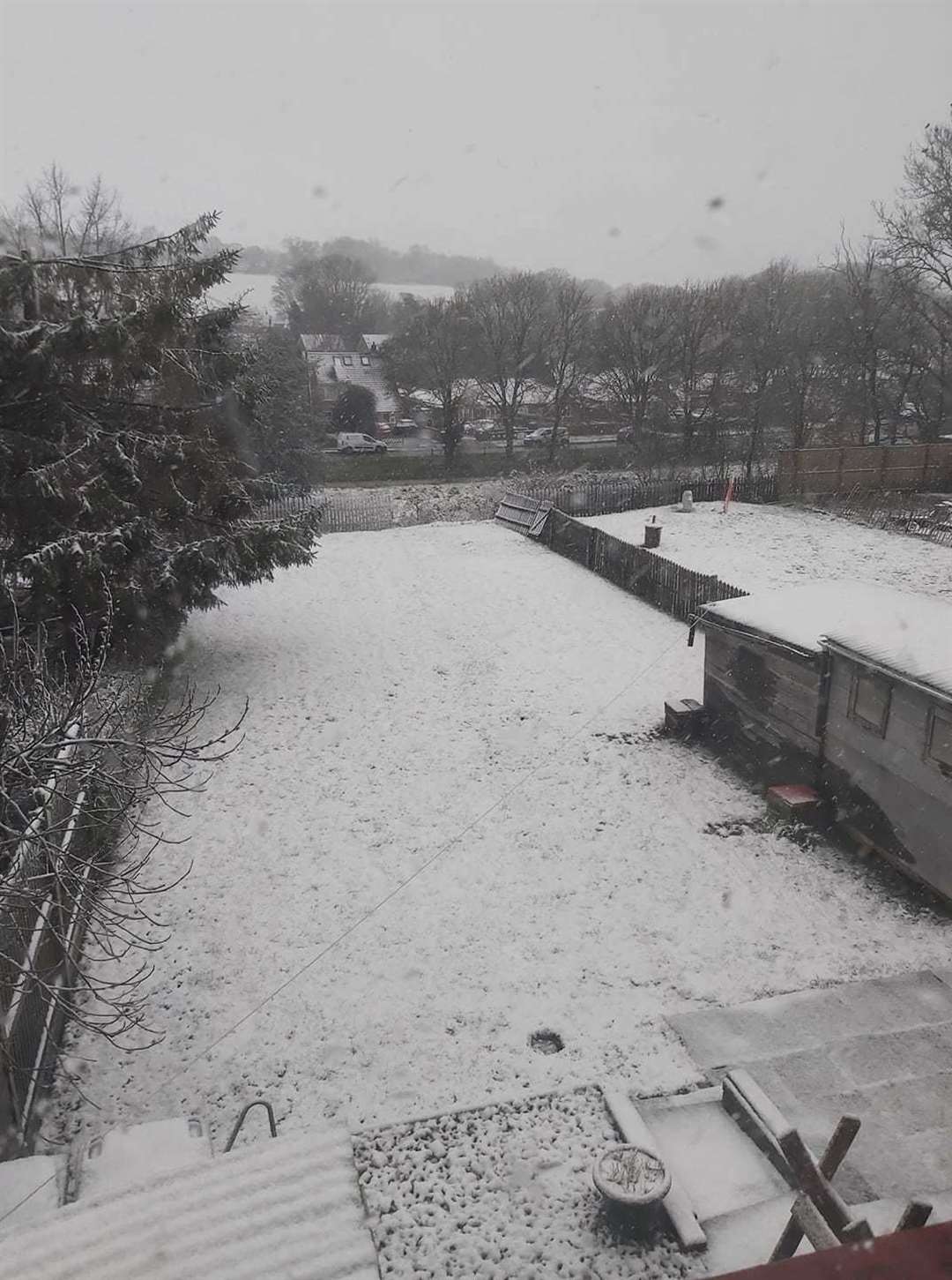
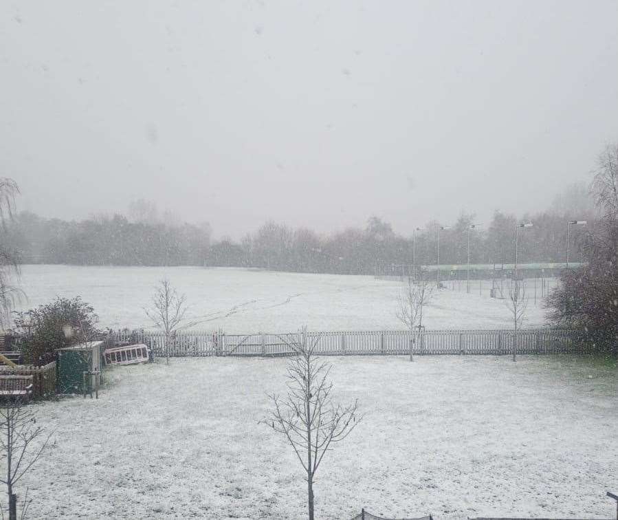
By 8am, many parts of east Kent had seen flurries and some snow settling on the ground as it gradually moved westwards across the rest of the county through the morning.


NHS bosses say vaccination centres and appointments are continuing to run as planned and the mass hubs at Folkestone and Gravesend are running normally.
In a statement, the Kent Community NHS Trust said: "Our vaccination centres in Folkestone and Gravesend are open today.
"We are aware of snow affecting some areas and will monitor the situation.
"If you have an appointment today, but would prefer not to travel and cannot keep your appointment, please rebook."
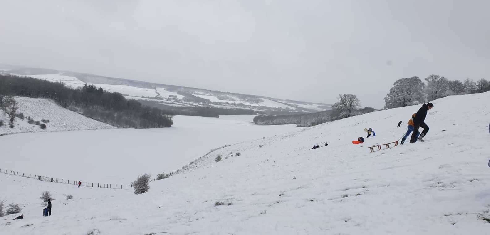
Strong winds are also forecast to be battering Kent during the day bringing with it heavy flurries of snow.
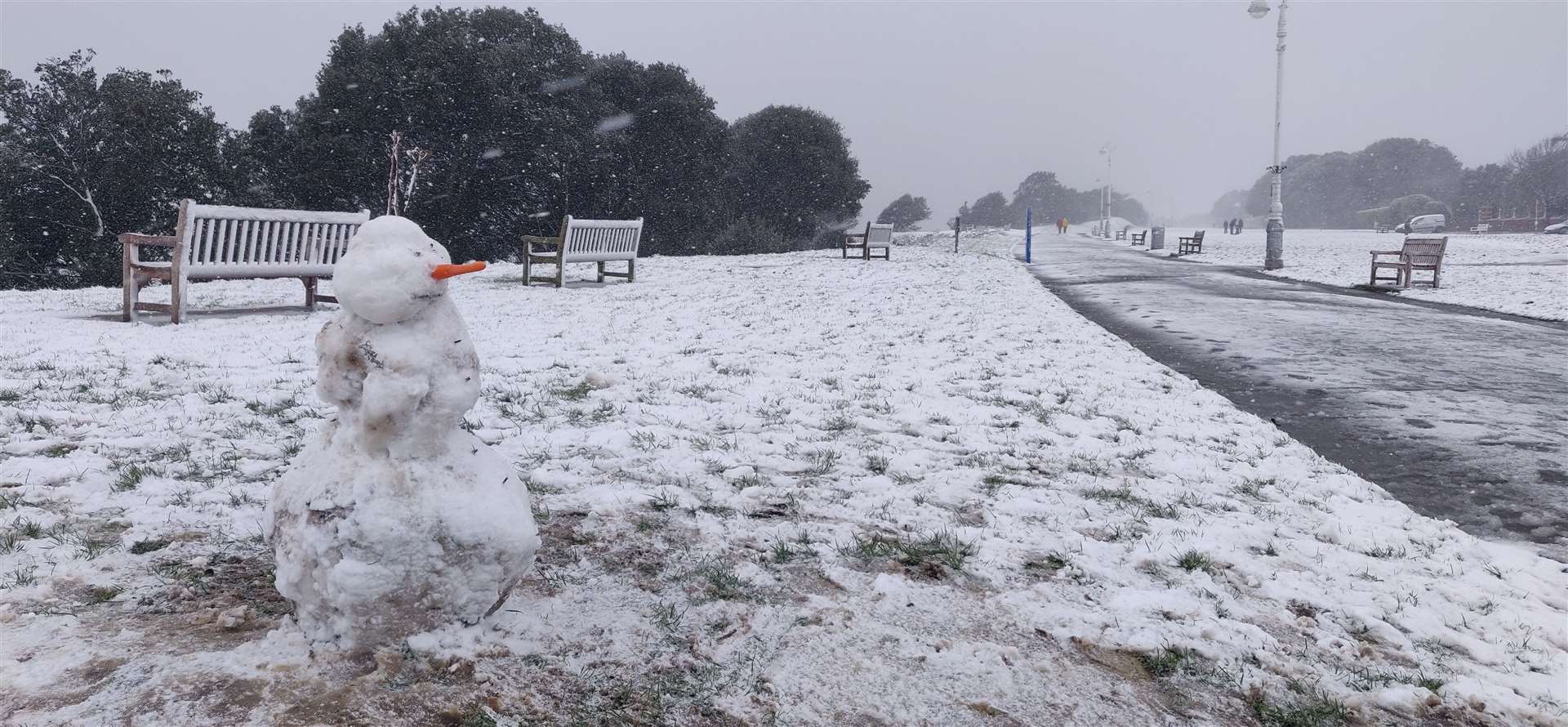
The rain in many parts of the county will turn to snow during the day as many people woke up disappointed not to see their gardens covered in snow.


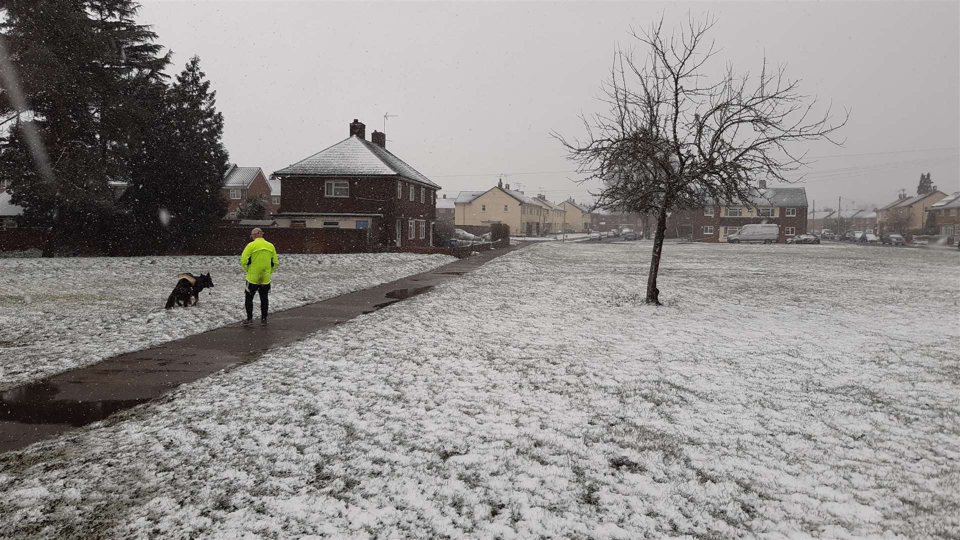
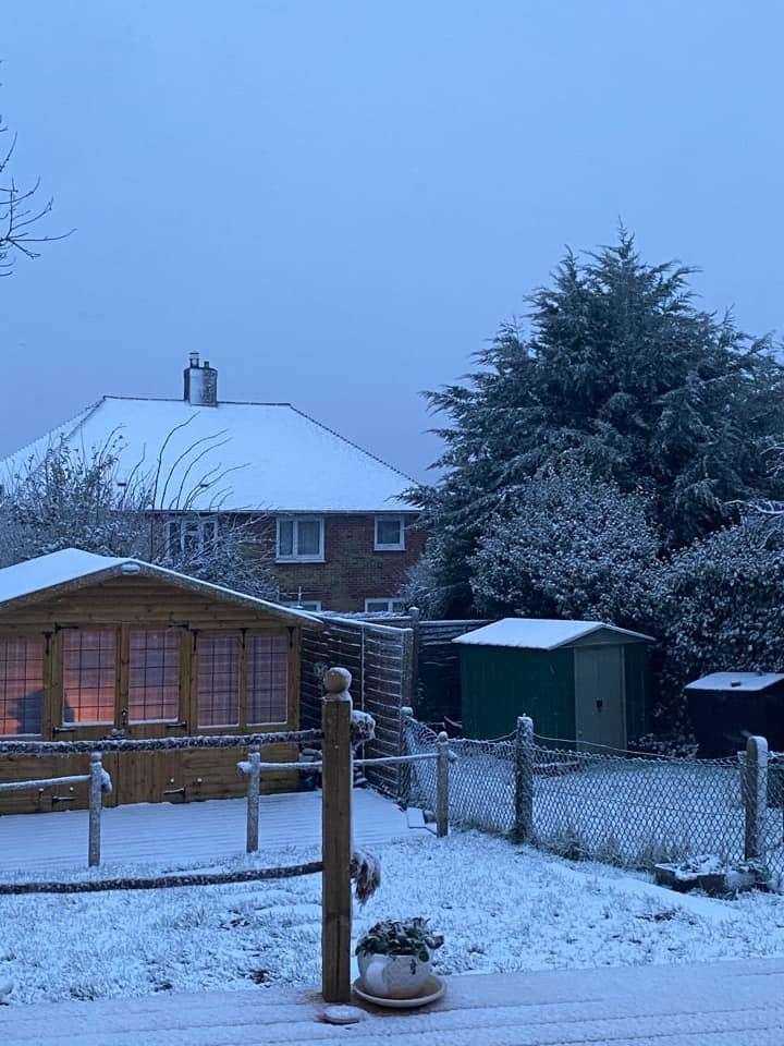
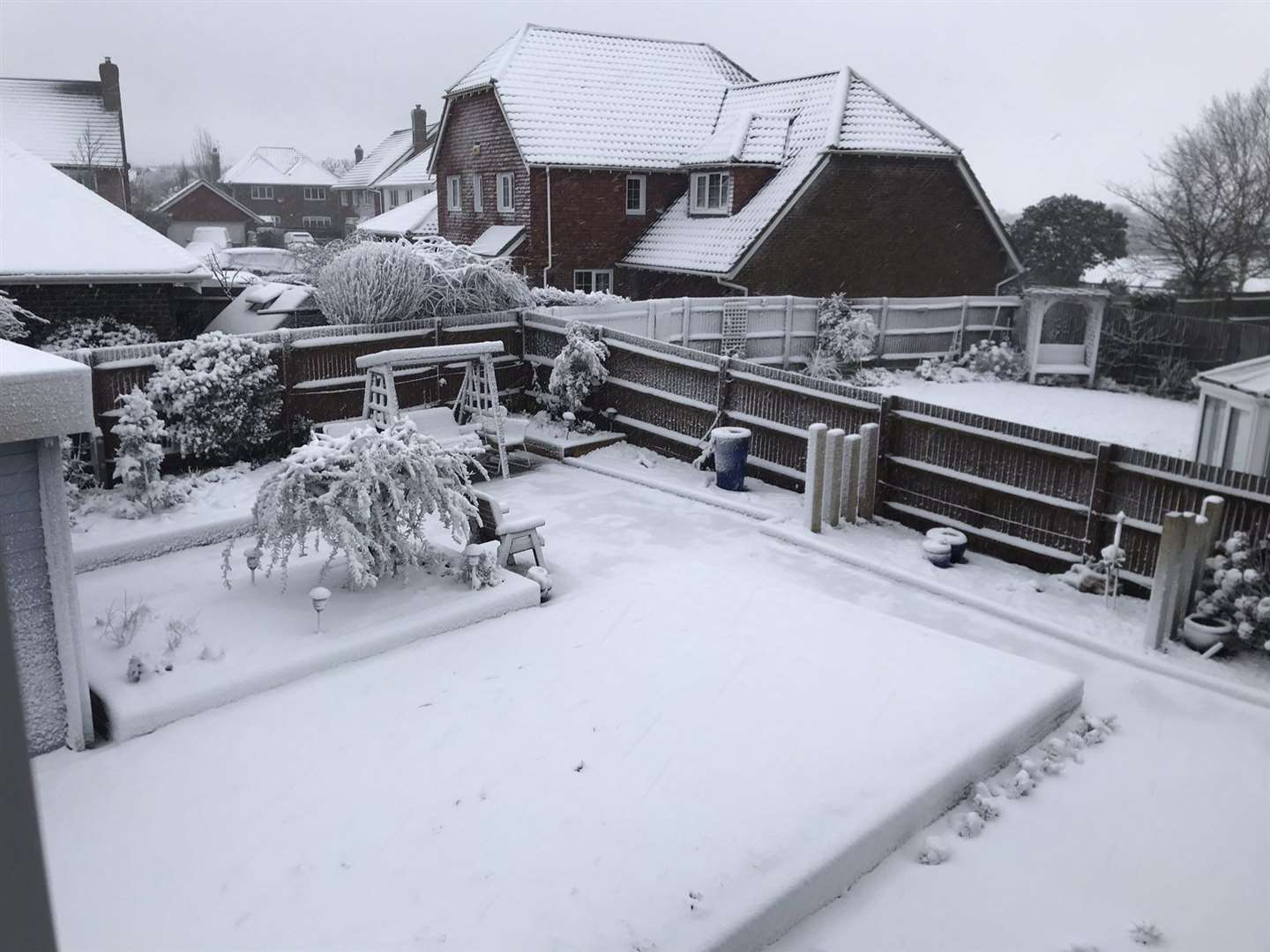
But within an hour some were seeing flakes settling on the ground and residents have seen snow in areas including Chartham, Sturry and Folkestone.
High grounds and towns and villages in the east of the county were the first to see snow.
The Met Office says wintry showers are expected throughout the day with much of Kent covered by an amber snow warning.
The warning has been in place for much of the county from 4am and was extended by three hours into Monday midday this morning.
The Met Office said: "Very strong easterly winds with gusts of 40-45 mph inland and 50-55 mph along north-east facing coasts will also lead to drifting of lying snow. During Monday morning the snow will turn more intermittent before gradually easing."
Another update published by the Met Office at 10.30am for the yellow weather warning had been extended to the end of Wednesday with a prolonged spell of icy conditions.
The agency warned of "daily accumulations of 2-5cm for some with 10-15cm plausible in areas where showers merge into more organised and prolonged spells of snow".
Melting snow freezing again due to dropping overnight temperatures have also been forecast as people are warned to expect treacherous conditions.
A flood warning is in place for east Kent due to high levels of groundwater following significant rainfall during the winter.
Residents in the Nailbourne Valley, Alkham and Petham have been advised about potential flooding.
The Upper Stour catchment area in villages around Ashford is also warned to be at risk of causing flooding due to heavy rainfall overnight.
The government has not yet issued a warning to properties.
The River Stour east of Canterbury is also extremely high and another flood warning is in place for the land surrounding the Stour Marshes.
For all the forecasts, warnings and weather related news, click here.