GO AD-FREE. Get 2 Months Digital Subscription for ONLY £1! Use code 2FOR1
GET STARTEDMore on KentOnline
GO AD-FREE. Get 2 Months Digital Subscription for ONLY £1! Use code 2FOR1
GET STARTEDMore on KentOnline
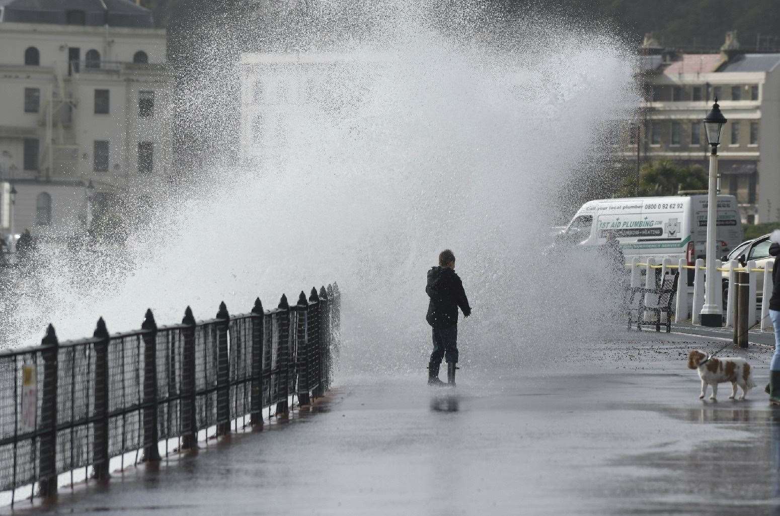
Storm Barbara has seen Kent lashed with torrential rain and strong winds.
Two yellow weather warnings are in place across the south, with heavy showers expected and the prospect of gusts up to 65mph on the coast.
The deluge started in the early hours and it is predicted that some areas might see up to 50mm of rainfall.
The October average for the region is 83.8mm.
The weather warning for rain, in place until 2pm, means public transport could be delayed, spray and flooding could mean journeys for drivers take longer and homes and businesses could be hit by flooding.
Meanwhile, the Met Office warning for winds of between 45 and 50mph lasts until 5pm.
It predicts some delays to road, rail, air and ferry transport are likely, high-sided vehicles on exposed routes and bridges are likely to be held up and some coastal routes, seafronts and coastal areas could be affected by spray and/or large waves.
It's already been a record breaking month for rain.
Saturday, October 3 was the wettest day since records began in 1891 with enough rainfall in a single day to fill Loch Ness.
By October 13 England had received 87% of its monthly average rainfall, with the south east and central southern England already 10% over what it would usually experience.
Storm Barbara, named by Spanish meteorologists, hit Spain and Portugal yesterday and some areas on the Iberian peninsula saw the equivalent of weeks’ worth of rain in just a few days.
For all the forecasts, warnings and weather related news, click here.
Avoid getting stuck on Kent's roads by keeping up-to-date on all of the latest traffic and travel news here or by following our live blog.