GO AD-FREE. Get 2 Months Digital Subscription for ONLY £1! Use code 2FOR1
GET STARTEDMore on KentOnline
GO AD-FREE. Get 2 Months Digital Subscription for ONLY £1! Use code 2FOR1
GET STARTEDMore on KentOnline
After a tumultuous week of rain and thunderstorms, the Met Office's yellow weather warning is due to end tonight.
But the poor conditions may not be over just yet.
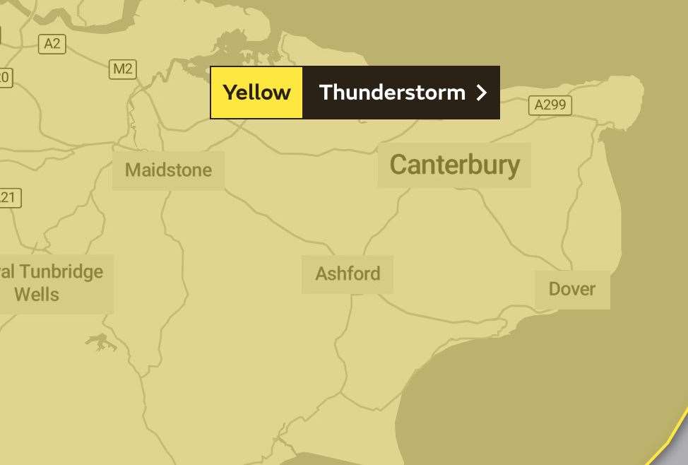
The weather experts have revealed that Kent could be at risk of further thunderstorms and torrential downpours before tonight's warning ends at 9pm.
Some areas could even see around 40mm of rain within an hour.
Nicola Maxey, spokesman for the Met Office, said: "If you’re caught by a thunderstorm, you’re likely to see 20mm-40mm (0.8in-1.6in) of rain within the hour, and some areas could see 50mm-70mm (2in-2.8in) within three to four hours.
"Really, anywhere within the warning area is at risk of those storms."
Forecasts currently show a 30% chance of rainfall in the county around 3pm today, with conditions clearing in most places into the afternoon.
Watch: Rain and flooded roads in Sevenoaks last week
Last week, residents in West Kent were hit with downpours and thunderclaps after long awaited rainfall following scorching temperatures.
Temperatures look to peak at 20C today, with Tuesday looking similar.
But despite the weather warning ending tonight, more rain is expected throughout the week.
Heavy rain is expected across the county on Wednesday, with a 60% chance of precipitation.
The yellow warning, which ends this evening, means that some flooding could occur.
There is also a chance of lightning strikes which could lead to damage and delays and cancellations to public transport.
For all the forecasts, warnings and weather related news, click here