GO AD-FREE. Get 2 Months Digital Subscription for ONLY £1! Use code 2FOR1
GET STARTEDMore on KentOnline
GO AD-FREE. Get 2 Months Digital Subscription for ONLY £1! Use code 2FOR1
GET STARTEDMore on KentOnline
Developments and new builds in the county are changing the face of Kent, with some places almost unrecognisable from a few years ago.
A time-travelling tool on Google Street View allows you to select most roads, buildings or areas, and see how the identical spot used to appear throughout various years, from 2009 to 2015.
We've picked some of Kent's well known places which have had a complete facelift.
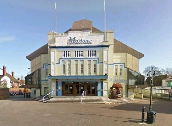
The story of the Marlowe Theatre began just before the First World War, when a small theatre opened in St Margaret's Street.
In 1949 the city council bought the building and the Marlowe was born, but around 30 years later, it was declared bankrupt and as a result demolished.
The council then bought the Odeon Cinema in The Friars and converted it into the second Marlowe Theatre, in total costing around £5m, opening in 1984.
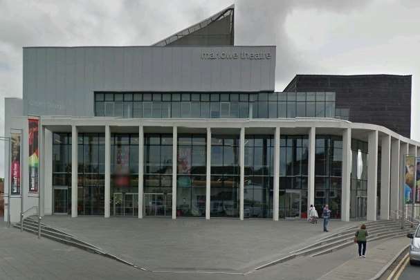
After 25 successful years, the second Marlowe Theatre closed for a complete make over on Sunday, March 22, 2009.
It re-opened on Tuesday, October 4, 2011 with the former building being completely transformed.
The new building holds an audience of 1,200 and has a separate studio for intimate gigs and workshops which can host a further 150 people.
Mark Everett, director of the Marlowe, said: "The old theatre was getting near the end of its useful life.
"It's a much more high profile and attractive building. It's modern but I think in terms of its principal function it provides much more than the old one did, simply because we see around 1,200 people.
"The new auditorium was a little bit controversial for some people when we first opened. For example the old theatre had a central isle but the new one does not.
"In my opinion, you have to maintain the traditional and cultural elements of this city, the fantastic architecture and lovely buildings. But you have also got to move on where it's appropriate to do so."
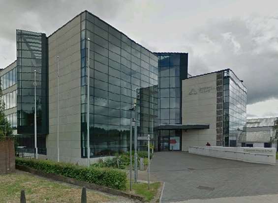
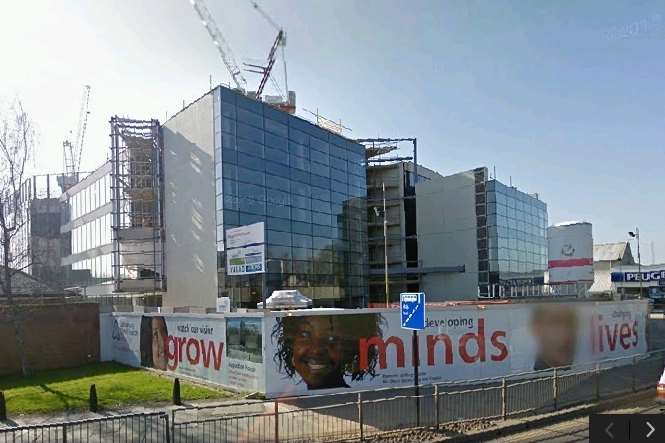
A building which we have seen built in the last six years is Canterbury Christ Church University's Augustine House.
The £35m state of the art library and student services centre opened towards the end of 2009.
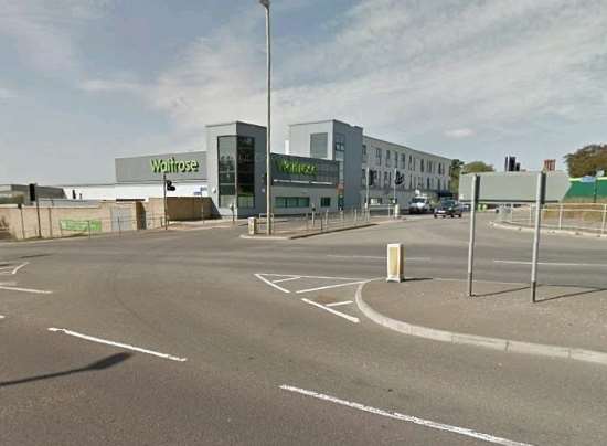
Around the same time the new Waitrose Store, at Repton Park, Ashford, was unveiled.
Plans for the supermarket were approved in September 2008 and when it came to applying for the 120 jobs on offer, more than 1,000 residents sent in their application forms.
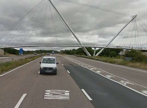
Another Ashford landscape which was built from scratch is the Eureka Skyway footbridge across the M20.
The iconic structure which links the town centre from the Warren Retail Park to Eureka Leisure Park, cost around £10m to build.
It opened in 2011 and has greatly improved the pedestrian and cycle links throughout the town.
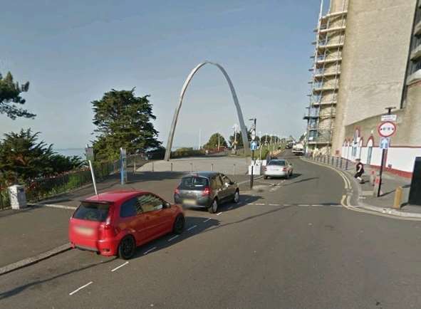
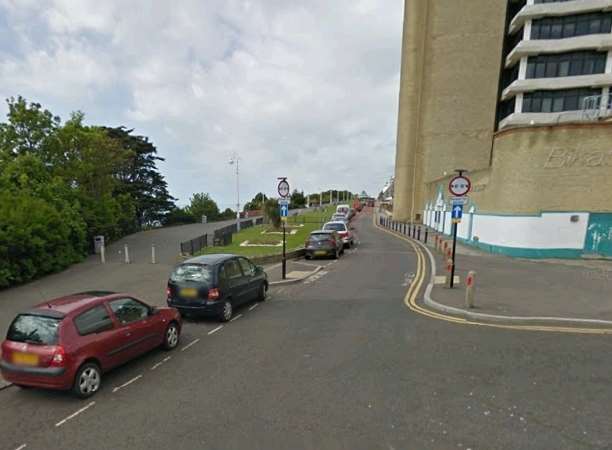
Folkestone's Memorial Arch on The Leas was a patch of grass before it was completed last year.
It took four years to build and was unveiled by Prince Harry in August, 2014.
Thousands lined the streets to celebrate the stainless steel structure, which commemorates the centenary of the outbreak of the First World War and the hundreds of thousands who lost their lives.
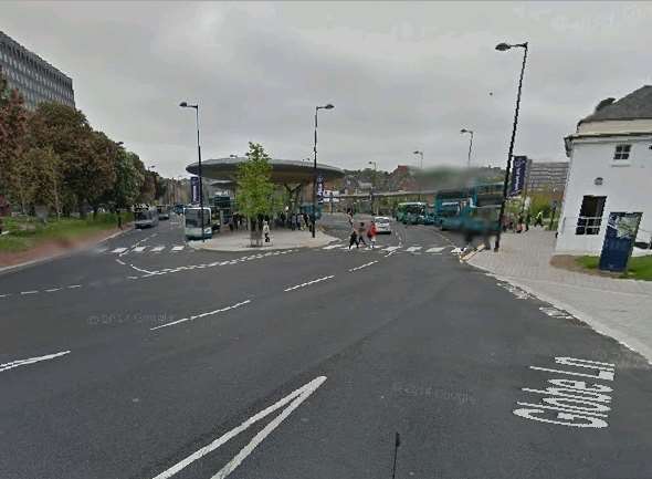
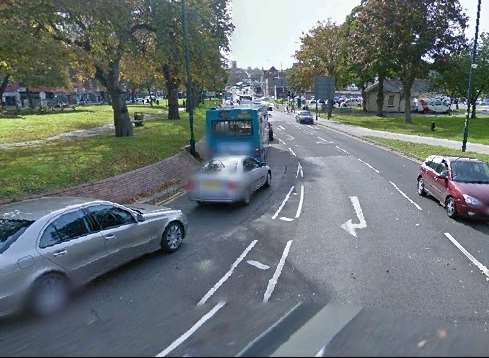
Chatham Waterfront bus station is a very different picture now compared to 2011.
The terminal in Waterfront Way, was introduced on a former through road towards Gillingham.
The bus station could be seen as a controversial build, as Medway council has earned more than £1.2 million from motorists caught driving through it illegally in the last four years.
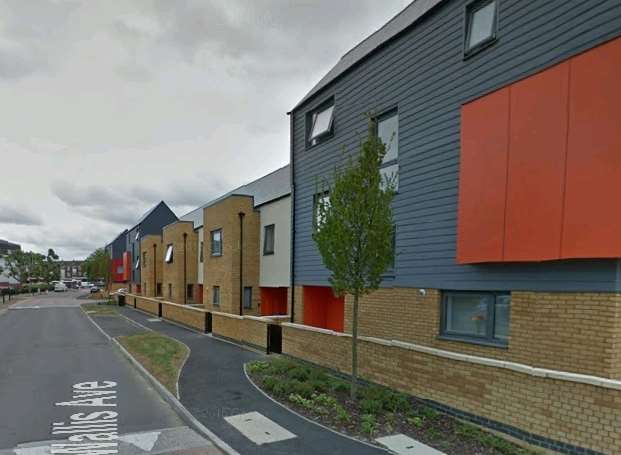
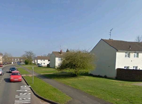
A road of housing which has had a major face lift is Wallis Avenue, in Park Wood, Maidstone.
In 2013 work started on the £38m regeneration of the estate, which has seen 236 flats bulldozed and replaced by 185 new properties.
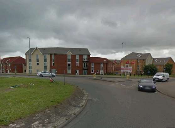
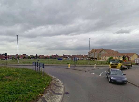
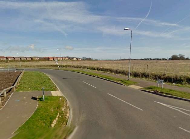
When completed, Archers Park in Sittingbourne will see 224 homes built as part of a new development which kicked-off last summer.
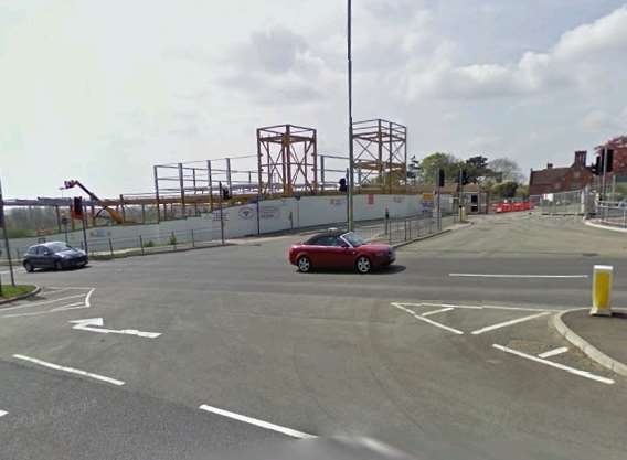
In 2009 the roundabout looked very different to how it does now, with 59 flats and houses which have been built since.
The Redrow homes are due to be complete in 2017.
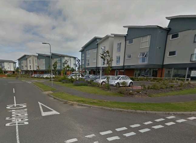
An area which has been transformed is Hurricane Way in Hawkinge.
What used to be a vast area of fields has now been turned into flats and housing.
The development, to the west of Spitfire Way, has also seen a supermarket, primary school, nursery, a care home and shops built to date.
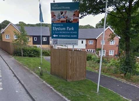
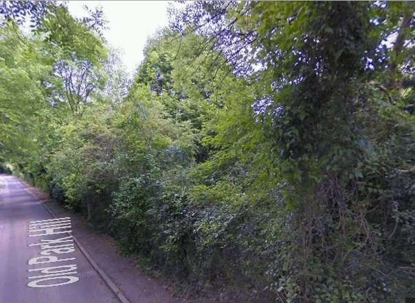
Dover's Old Park Hill was once a large area of greenery which most would remember as shrubs and bushes, but now you can see the Pentland Homes development.
The new housing, in Elysium Park, is made up of a selection of two, three and four bedroom homes in varying styles.
The homes are just two miles from Dover Priory Station.
Though the face of the county may be evolving, this is not the only thing in Kent which has changed in a similar time span.
The price of a loaf of bread has gone down by around 40p since 2009.
But can pick up a pint of milk for 45p, which is roughly 20p more expensive than it was in 2009.
The new cashless Dartford Crossing costs £2.50 per crossing but in 2009 you could use the bridge for a pound less, at just £1.50.