GO AD-FREE. Get 2 Months Digital Subscription for ONLY £1! Use code 2FOR1
GET STARTEDMore on KentOnline
GO AD-FREE. Get 2 Months Digital Subscription for ONLY £1! Use code 2FOR1
GET STARTEDMore on KentOnline
A weather warning for thunderstorms has been issued for Kent.
Just hours after the hottest day of the year, the Met Office is warning that heavy rain, thunder and lightning could roll into the county later this evening bringing travel disruption and a risk of flooding.
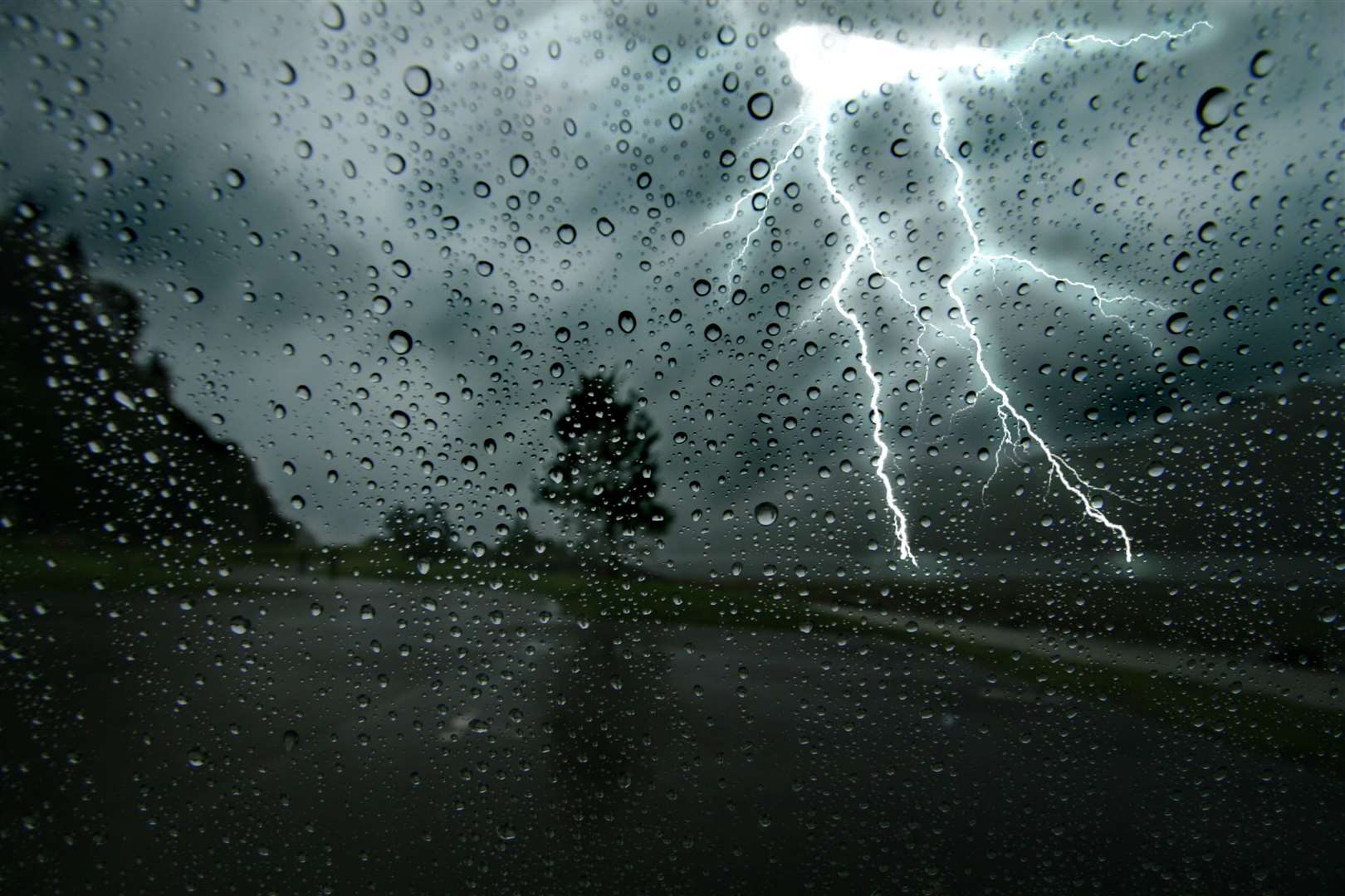
The yellow weather warning, which signals that the forecast is likely to have an impact on people's plans and travel arrangements, comes into force at 7pm this evening.
It covers southern and eastern areas of England and is currently in place until 3am tomorrow.
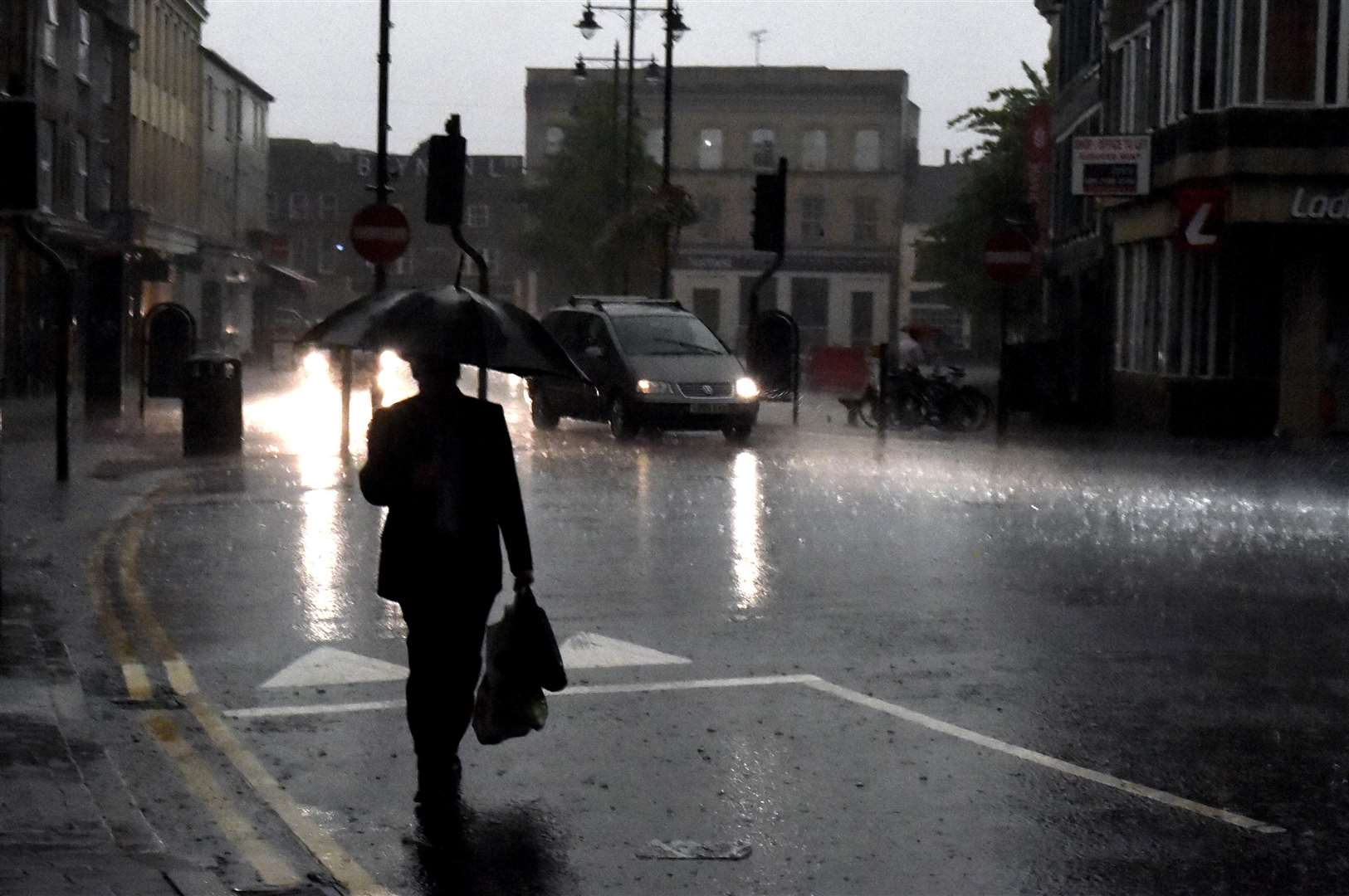
Forecasters are warning that those on the roads should expect spray and sudden flooding as a result of heavy rainfall, which might lead to difficult driving conditions and the potential for some road closures.
Travellers using public transport tonight are also being warned about the risk of cancellations to some train and bus services as well as the possibility of power cuts.
The warning adds: "There is a small chance that homes and businesses could be flooded, with damage due to floodwater or lightning strikes."
Yesterday the UK recorded its hottest day of 2022 so far, with 27.5C registered at Heathrow on Tuesday afternoon. The previous highest temperature was 23.6C in Faversham on May 6.
Sunshine and showers are forecast for the rest of this week with temperatures that could be a little above the average for May.