GO AD-FREE. Get 2 Months Digital Subscription for ONLY £1! Use code 2FOR1
GET STARTEDMore on KentOnline
GO AD-FREE. Get 2 Months Digital Subscription for ONLY £1! Use code 2FOR1
GET STARTEDMore on KentOnline
After the sun comes the rain.
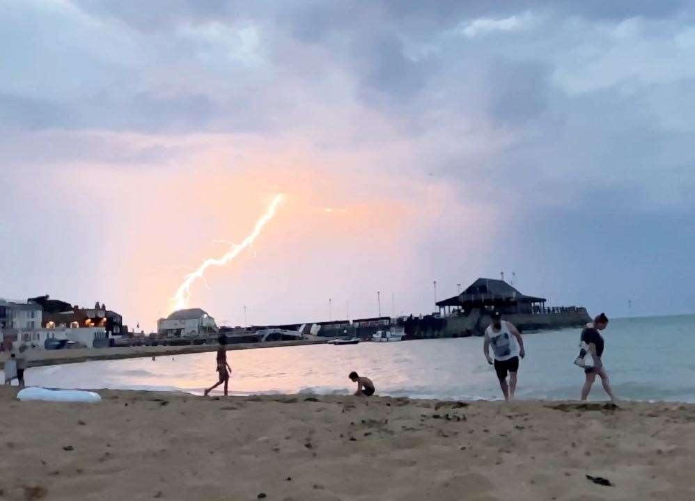
Following the heatwave over the weekend which sent thousands to the beaches, the Met Office is now warning of four days of thunder to hit Kent.
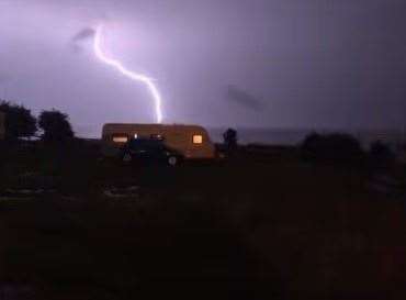
See the storms due to hit Kent over the next few days
Storms are predicted to start developing over the continent later tonight and then track northwards across Kent and the rest of Britain.
Yellow Alerts have been issued for Monday, Tuesday, Wednesday and Thursday.
A Met Office spokesman warned: "Where the storms occur, rainfall totals of 30-40 mm could fall in an hour with some locations potentially receiving 60-80 mm in three hours, although these will be fairly isolated."
The storms are predicted for the whole of the UK but Kent, which has been basking in record high temperatures, is expected to take the brunt of the bad weather.
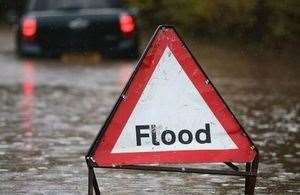
A yellow alert is when there is a small chance of homes and businesses being flooded after sudden downpours. There is chance of lightning strikes and large hail which could lead to damage and delays and cancellations to public transport.
The spokesman added: "Spray and sudden flooding could lead to difficult driving conditions and increased chance of accidents.
"There is a slight chance that power cuts could occur and other services to some homes and businesses could be lost."
The public is also warned to stay clear of fast-flowing streams or deep flood water.
Kent County Council have echoed the Met Office's warning.
The local authority says high temperatures over the next few days could lead to the very heavy showers and thunderstorms, resulting in the flooding of homes and businesses from surface water, disruption to transport, power outages and damage to buildings.
What you need to know
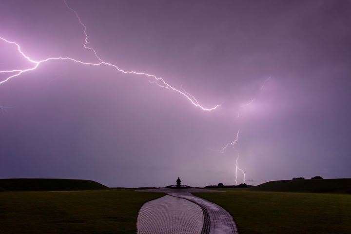
There are many myths surrounding lightning such as lightning never strikes the same place twice or it always hits the tallest object. Both are false as lightning goes to the best conductor on the ground whether it has been struck before or not.
But lightning can cause power surges so unplug any non-essential electrical equipment if not using a surge protector.
During a storm, seek shelter if possible. When you hear thunder you are already within range - 10 miles - of where the next ground flash could land.
Telephone lines can conduct electricity so try to avoid using the land line unless in an emergency
If outside, avoid water and find a low-lying open place that is a safe distance from trees, poles or metal objects. Avoid activities such as golf, rod fishing or boating on a lake.
Be aware of metal objects that can conduct or attract lightning including golf clubs, golf buggies, fishing rods, umbrellas, motorbikes, bicycles, wheelchairs, mobility scooters, pushchairs, wire fencing and rails.
If you are in a tent, stay away from the metal poles
If you in an exposed location when the storm arrives it may be advisable to squat near to the ground with your hands on your knees and head tucked between them. Try to touch as little of the ground as possible. Do not lie down on the ground.
If you feel your hair stand on end, drop to the above position immediately
After a thunderstorm stay clear of downed power lines or broken cables.
If someone is struck by lightning the power surge could have affected their hear and left them with severe burns.
If you are caught driving in a thunderstorm you should closed all windows and stay in your car because the metal roof and frame will act as a Faraday cage to keep you safe and pass the current to the ground.
Soft-top convertibles with fabric roofs are the most at risk and could catch fire if struck by lightning
Cars with metal inside handles, foot pedals and steering wheels can also carry current
Thunderstorms can also bring a risk of sudden gusty winds which can unsteady cyclists, motorcyclists and high-sided vehicles.
If hail is severe, stop and pull over to a safe place and remain inside the vehicle.
Despite the storm warning, Kent is still going to experience high temperatures over the next week .
For all the forecasts, warnings and weather related news, click here.