GO AD-FREE. Get 2 Months Digital Subscription for ONLY £1! Use code 2FOR1
GET STARTEDMore on KentOnline
GO AD-FREE. Get 2 Months Digital Subscription for ONLY £1! Use code 2FOR1
GET STARTEDMore on KentOnline
The course of British history could have been altered if a horse hadn’t been distracted by the smell of vegetables in a Belgian garden.
It might sound ludicrous, but could it be true? The horse in question had been carrying one of the most important maps in British history to one of the most important figures in British history, the Duke of Wellington, on the eve of one of the most important events in British history – the Battle of Waterloo.
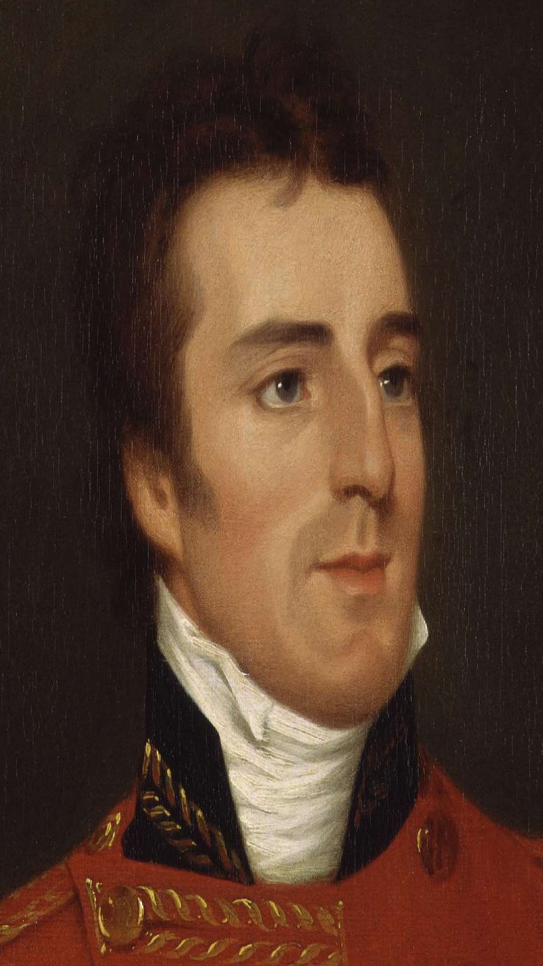
So when Lt Waters fell off and lost that horse during a melee with some French cavalry, part way through his important mission in June 1815, he had good reason to be worried – the weight of Wellington’s expectations and the fate of an entire nation’s history were hanging by a thread.
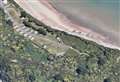
Fortunately, as Brigade Major Oldfield recounted some time later: “Waters was delighted to find his horse quietly destroying the vegetables in a garden near the farmhouse at Quatre Bras”.
So the map was found, and delivered to Wellington, who went on to oversee victory at Waterloo and end Napoleon’s rule as Emperor of the French.
But being lost and found in a Belgian vegetable garden was only one moment in the curious and bizarre life of the Waterloo Map – and if ever an object encapsulated the random twists of fate that make up our history, it is the ragged patchwork of glued-together scraps that now hangs on display at the Royal Engineers Museum in Brompton.
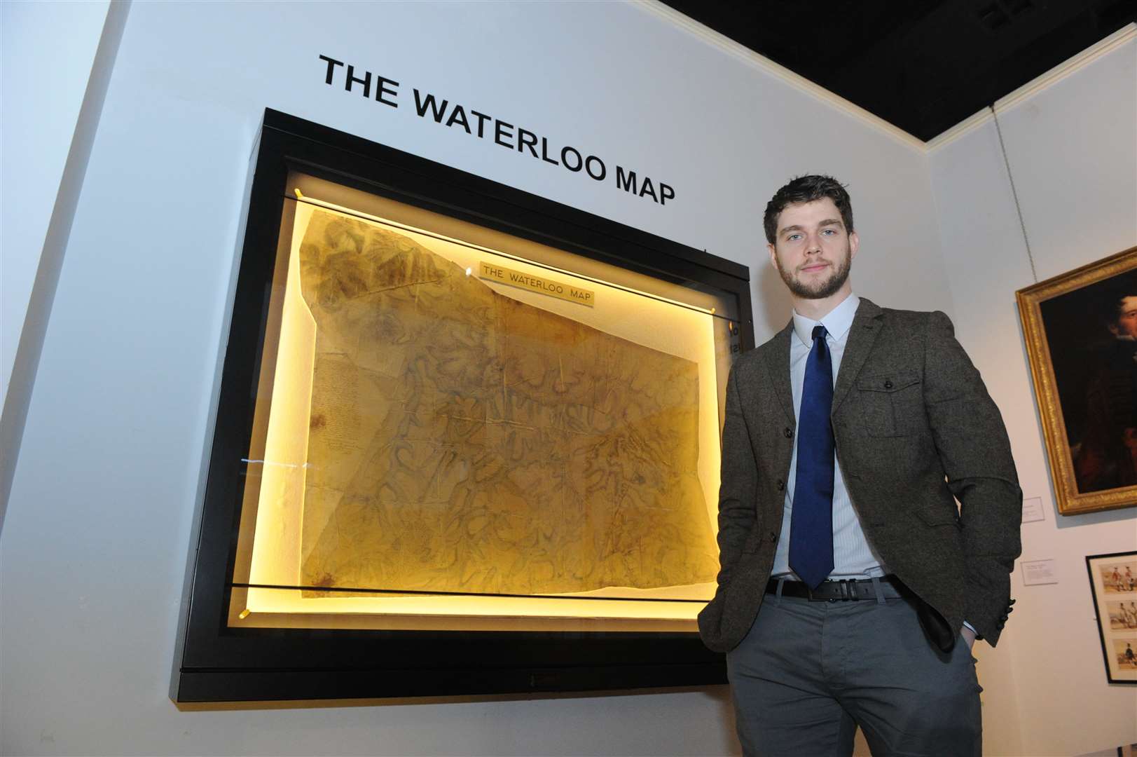
“It’s a bit of a Frankenstein of a map,” admits the museum’s deputy curator James Scott. “The Royal Engineers had drawn smaller maps and were going to draw up a larger one. They would have done if they had more time, but in the end they had to stick it together.
“You can still see where it was pasted together.”
The battle itself was fought in the top right hand corner of the map, and visitors to the museum can still see the pencil marks thought to have been made by Wellington, indicating where he planned to position troops along the ridge north of Le Haye Saint.
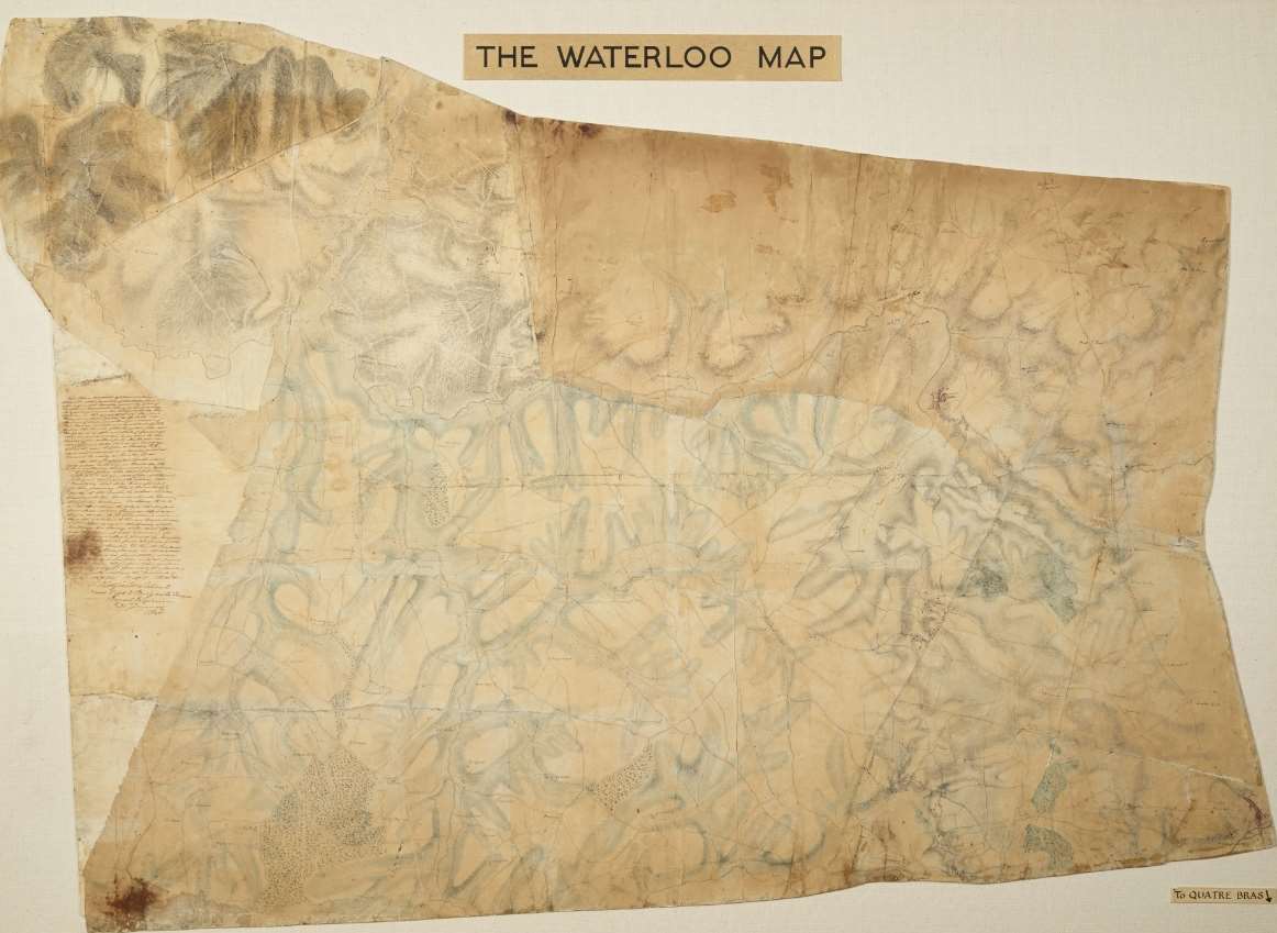
Unfortunately for Sir William De Lancey (Quartermaster General), who took possession of the map during the battle itself, pencil marks aren’t the only thing visible on it. They’re accompanied on the other side by what is thought to be the remnants of Sir William himself.
“The guy that was carrying it got hit by a cannon ball and he died with it in his pocket,” said Mr Scott. “It’s said that the markings at the top are actually stained with his blood, but I’m in two minds.”