GO AD-FREE. Get 2 Months Digital Subscription for ONLY £1! Use code 2FOR1
GET STARTEDMore on KentOnline
GO AD-FREE. Get 2 Months Digital Subscription for ONLY £1! Use code 2FOR1
GET STARTEDMore on KentOnline
Home Whitstable News Article
A number of flood alerts have been issued across the Kent coastline.
The Environment Agency say flooding is possible from Dartford to Margate and Ramsgate to Sandgate.
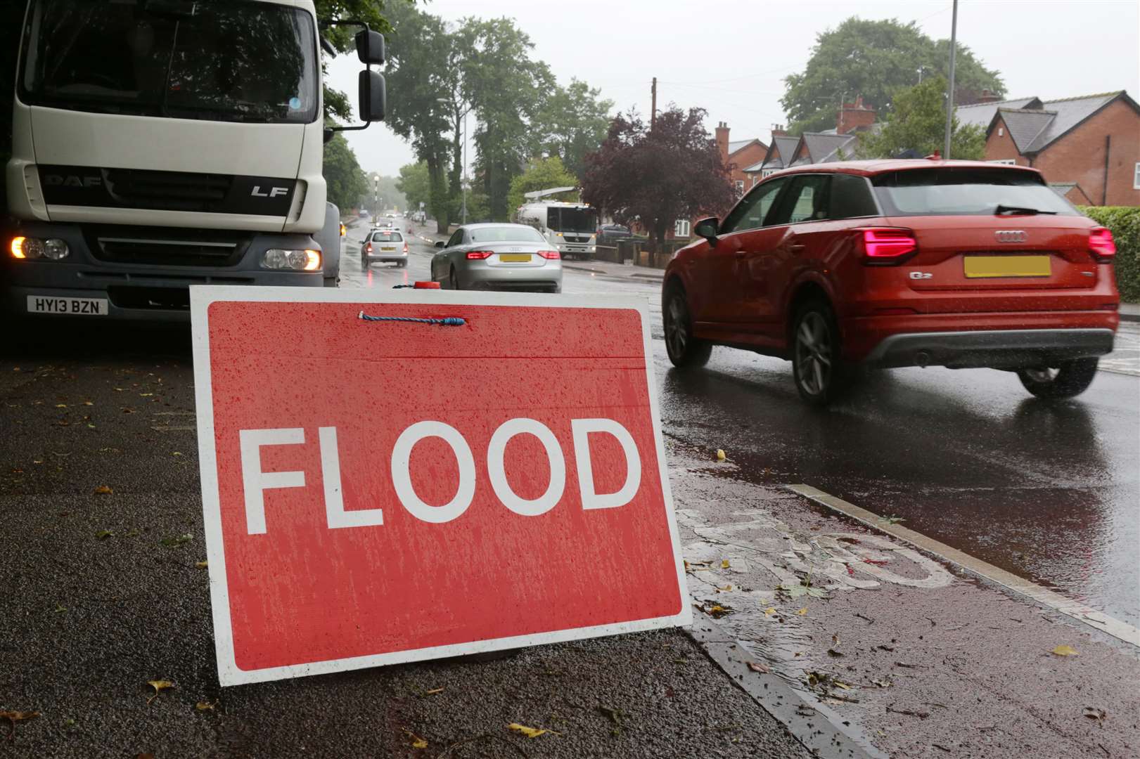
They were issued as a result of the high tide expected to affect coastal locations early tomorrow morning.
There are areas at risk of coastal flooding from Ramsgate to Kingsdown including Sandwich and Deal, and St Margaret's at Cliffe to Sandgate, including Dover and Folkestone.
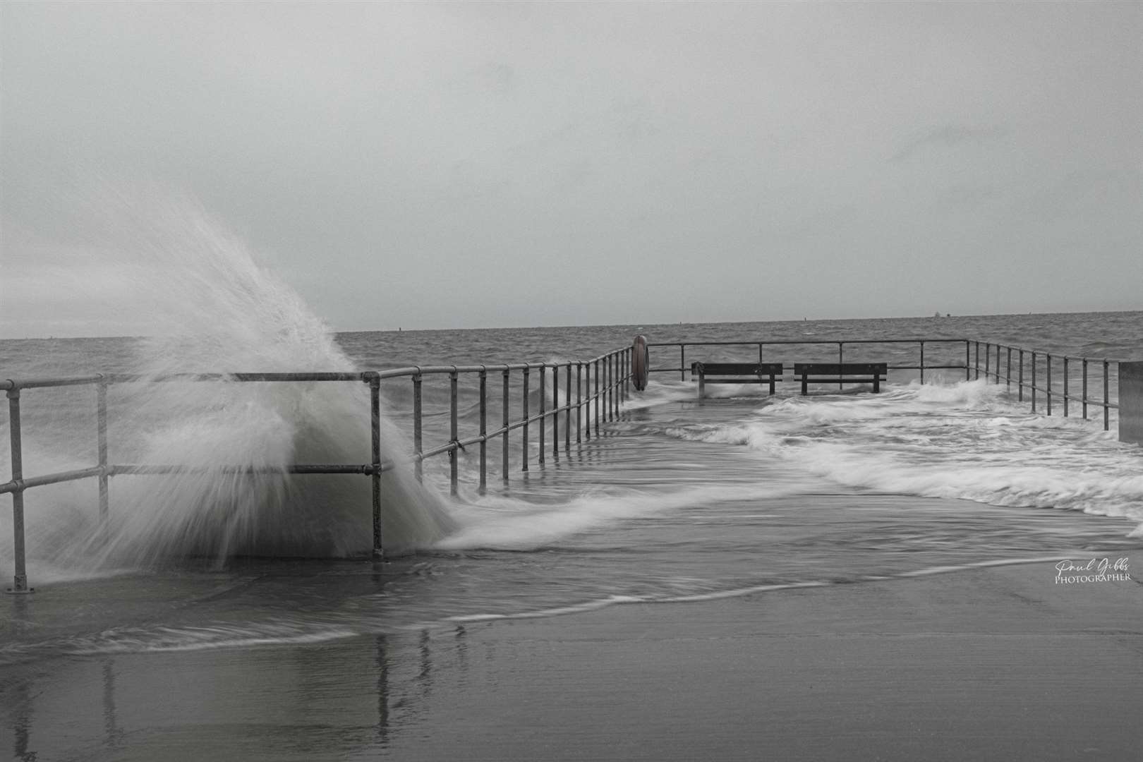
Tides will be at their highest between 2.30am and 3am tomorrow.
Flooding is expected at these times to affect lower lying locations nearest the coast throughout the areas.
But conditions may apply two hours either side of the high tide and coastal conditions should ease for the high tide at 3pm tomorrow.
The Environment Agency said: "Please be careful in areas around the coast during this period of concern and avoid contact with flood waters present.
"We are actively monitoring the situation and are prepared to respond if required.
"For those that use it, the total water level is forecast to be 3.69m AOD at Dover at 2:45am tomorrow."
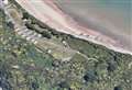
Meanwhile, Whitstable to Margate is at risk of flooding, including Herne Bay, Reculver, Marshside, Saint Nicholas at Wade, Birchington and Westgate-on-Sea.
The Isle of Sheppey and North Kent Coast from Kemsley to Seasalter has been issued with a warning, including Sheerness, Minster, Queenborough, Leysdown on Sea, Sittingbourne and Faversham.
Areas at risk of tidal flooding include the Tidal Medway, Medway estuary and Isle of Grain, including Aylesford, Medway Towns, Lower Halstow, Middle Stoke and Lower Stoke.
Dartford to Allhallows - including Crayford, Greenhithe, Northfleet, Gravesend and the North Kent Marshes - are also at risk.
Flooding is possible two hours either side of high tide, between 2am and 6am tomorrow morning, with strong winds and unsettled weather causing higher water levels than normal.
Flooding will affect lower lying locations nearest the coast throughout this area,
The unsettled weather is likely to continue over the coming days, though tides are expected to begin reducing from Monday afternoon.
Environment Agency staff are prepared to respond if needed.
To check the latest information for your area