GO AD-FREE. Get 2 Months Digital Subscription for ONLY £1! Use code 2FOR1
GET STARTEDMore on KentOnline
GO AD-FREE. Get 2 Months Digital Subscription for ONLY £1! Use code 2FOR1
GET STARTEDMore on KentOnline
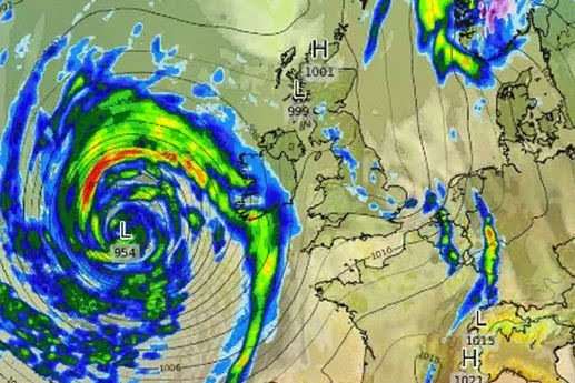
Kent is bracing itself for the impact of Storm Brian today.
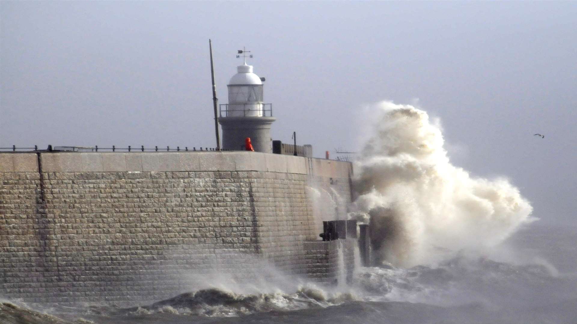
The Met Office has issued a yellow weather warning for the area’s coast.
Folkestone Harbour Arm is closed because of the forecast high winds and high tides.
P&O Ferries has warned of delays of up to an hour and 10 minutes on sailings between Dover and Calais because of the adverse weather.
And Network Rail has warned of possible travel disruption with the risk of debris such us trees ending up on the track or hitting overhead power lines.
The company has advised people living near railways lines to secure garden furniture, equipment and trampolines.
Network Rail, working with train operators, has activated its weather contingency plans for some routes and is advising passengers to allow for delays.
There are also temporary speed restrictions of 50mph so train drivers can stop in time if an obstruction is seen.
This covers the Kent coastal routes including between Faversham, Ramsgate, Dover and Folkestone.
As a result, there will be changes to some services and passengers are advised to check before they travel. Other speed restrictions may be imposed as the storm develops.
A Network Rail spokesman said: “We are keeping a close eye on Storm Brian and are doing everything we can to prepare for severe weather.
“We are deploying additional teams across the railway network to remove debris quickly and safely if we need to, and to keep passengers moving.”
The current warning covers the period from 4am to midnight today. The peak of the storm is expected to be by mid-afternoon.
It is feared that winds could reach 70mph on the coast and 40 to 50mph inland.
Chris Page, forecaster with the Met Office, said: “The advice is to take extra precautions as there is a potential for fallen trees and there’s a chance we could see transport disrupted.
“Both coastal sites and inland areas are likely to experience strong winds so you should stay up to date with the latest forecast and only make travel if you have to.”
For the latest traffic and travel news, tune into kmfm.