GO AD-FREE. Get 2 Months Digital Subscription for ONLY £1! Use code 2FOR1
GET STARTEDMore on KentOnline
GO AD-FREE. Get 2 Months Digital Subscription for ONLY £1! Use code 2FOR1
GET STARTEDMore on KentOnline
With Storm Ciaran set to hit the county, advice has been issued on how to stay safe and be prepared for the strong wind and rain.
As flooding has already affected other parts of the UK, here is everything you need to know ahead of time – and which parts of Kent could be worst affected.
What to expect
Storm Ciaran will hit Kent tomorrow – with the strongest winds expected in the morning.
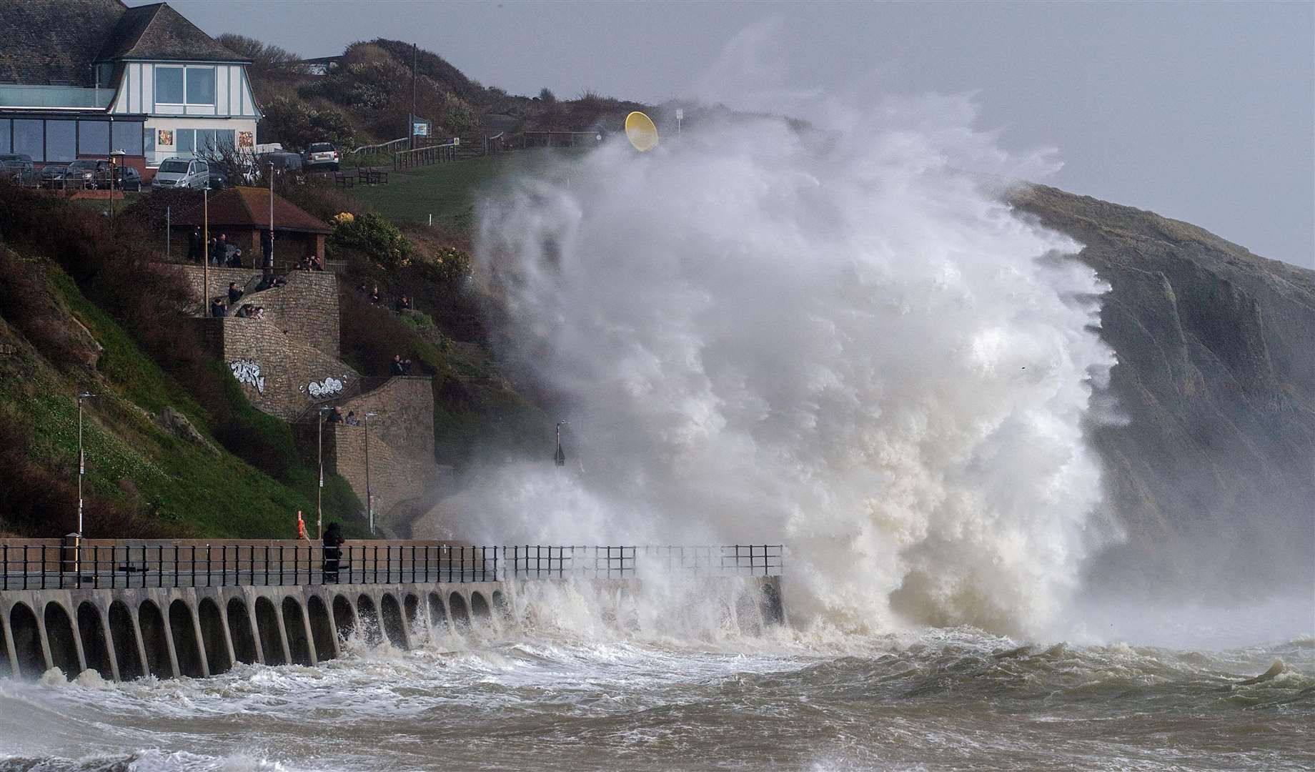
The Met Office says coastal areas near the English Channel will bear the brunt of the gales with a warning of huge waves as winds could reach up to 85mph. This comes after an amber weather warning for wind was issued.
The Environment Agency is advising people to steer clear of piers, promenades and swollen rivers. The Coastguard is also calling for those near the sea to ensure they have a phone with them to contact them if they come into danger.
People are also being warned: “It is not worth risking your life and others for that selfie.”
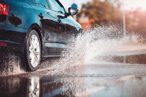
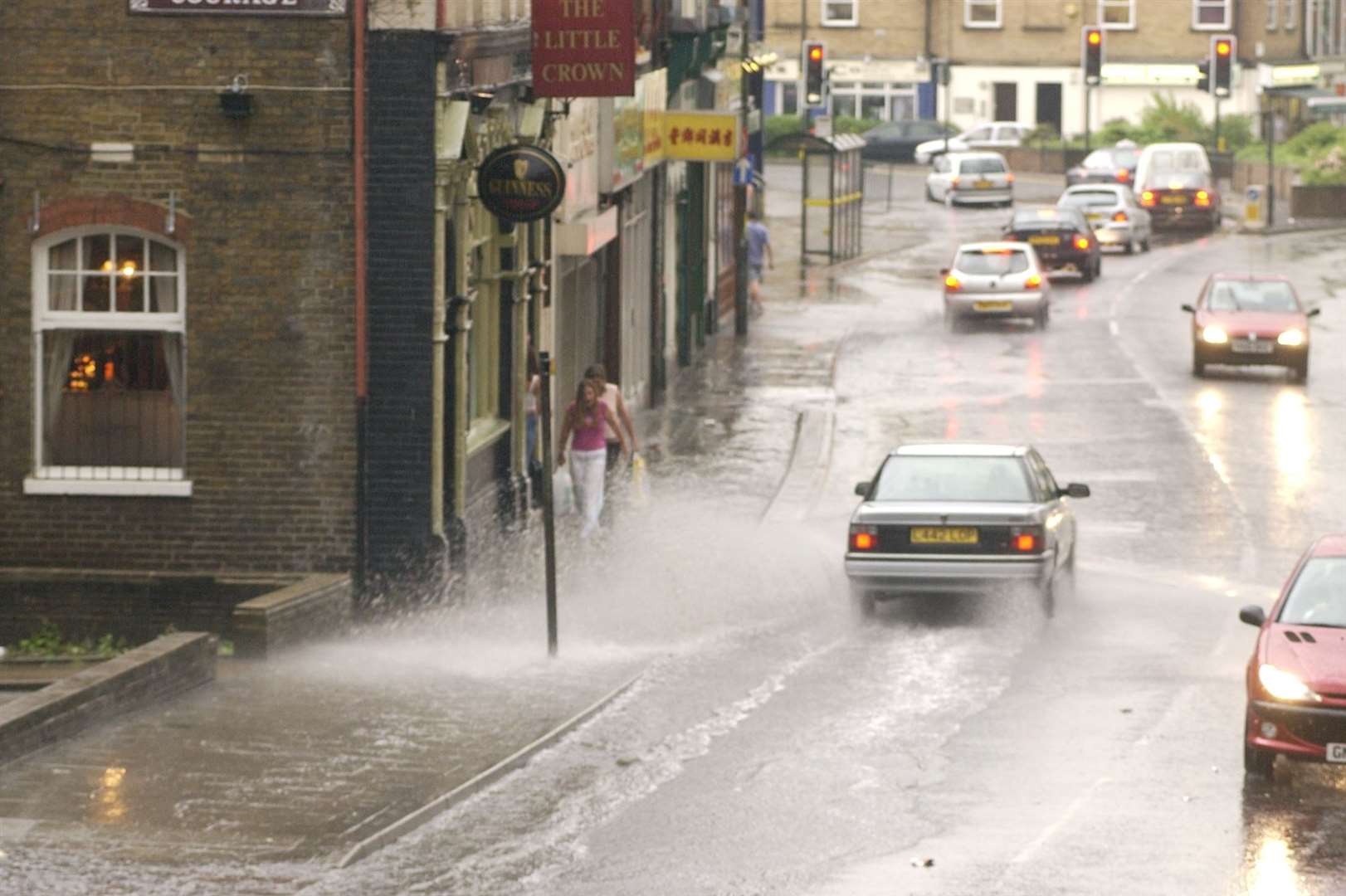
The adverse weather is expected to disrupt travel and there could be flooding. Flying debris could also cause danger to life while buildings may be damaged amid the storm.
Homes and businesses could also lose power if overhead cables are damaged.
What warnings have been issued?
Weather experts at the Met Office have issued an amber weather warning for wind in part of Kent from 6am tomorrow until 5pm.
This covers coastal areas in Dover, Thanet and Folkestone and Hythe districts as well as towns further inland such as Ashford, Canterbury, Tunbridge Wells, Tenterden and Faversham.
There is also a yellow alert for wind for the rest of the county from 9pm today until midnight tomorrow. Finally, a yellow rain warning has been issued for the whole of Kent starting at 6pm today and ending at midnight tomorrow.
Other warnings have been issued from service providers including Southern Water, National Highways and the Kent Resilience Forum (KRF).
‘The real concern is the wind on Thursday...’
Difficult driving conditions are expected on all roads, with those using vulnerable vehicles – including HGVs, motorbikes and anyone towing trailers – being urged to take extra care by National Highways.
“There is a particularly high risk that high-sided vehicles and other 'vulnerable' vehicles such as caravans and motorbikes could be blown over,” a spokesperson said.
Bosses have shared advice on how motorists can stay safe on the road via their website.
Southeastern is asking commuters to not attempt to travel on “mainline” routes before 9am.
They added: “Even after this time, severe disruption is highly likely throughout Thursday so we would recommend that you work from home if you can or postpone your journey until Friday.”
Speed restrictions are set to be introduced, especially trains to and from the Kent coast.
The Kent Resilience Forum (KRF) is encouraging residents to keep up to date with the latest forecast and advice.
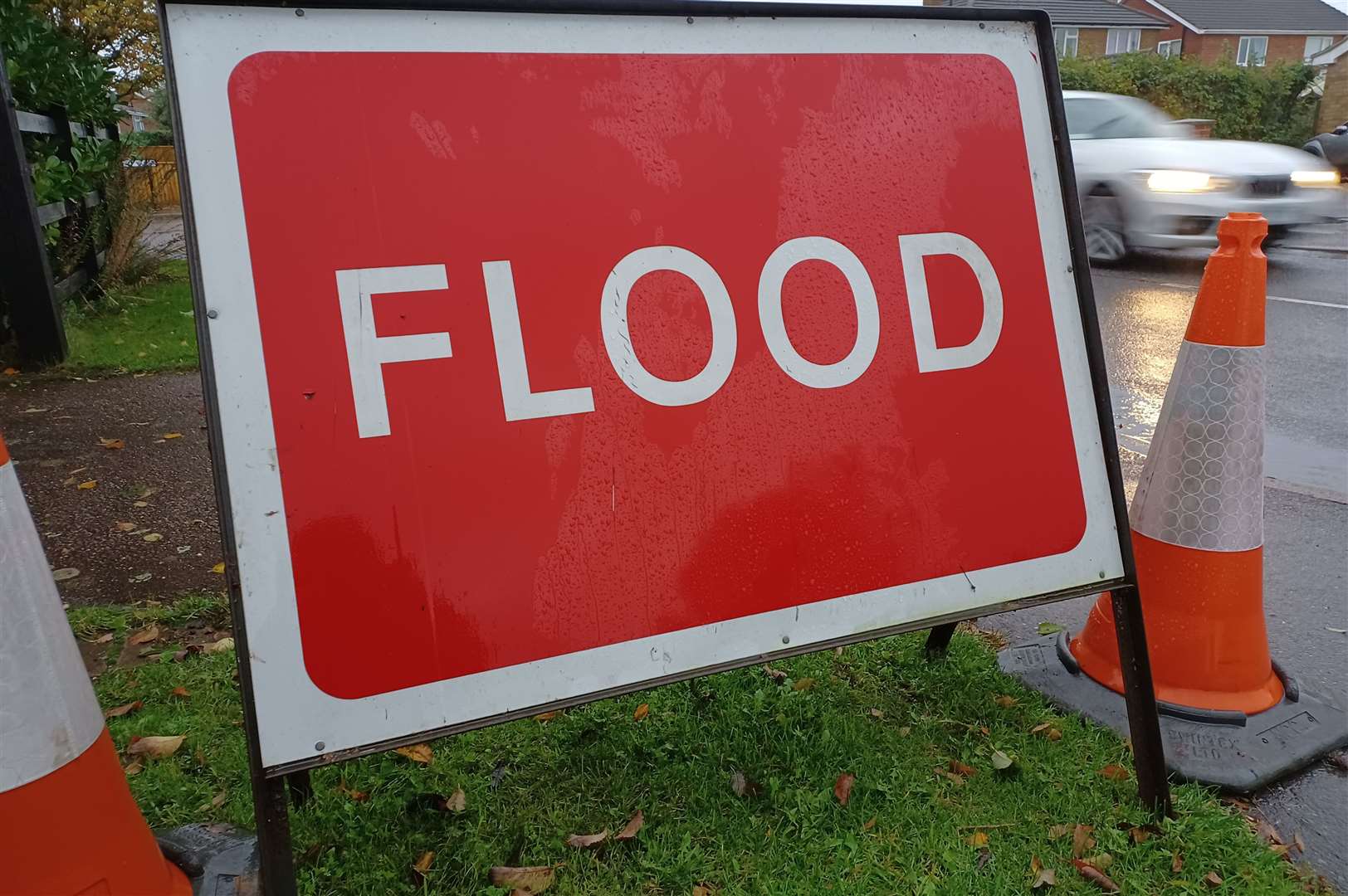
Several flood alerts are in place covering inland and coastal areas, including for the River Medway from Hampstead Lock at Yalding to Allington Lock.
Kent County Council (KCC) will have additional highways officers available during the most severe weather and water pumps will also be on standby to deal with road drainage issues.
KRF’s tactical lead Toby Howe said: “Although with weather there is always a level of uncertainty, the Met Office has been very clear in its warnings, and we are working together to ensure that Kent is as prepared as it can be.
“We ask that residents keep up to date with the latest weather forecasts, travel information and advice and help the Coastguard by staying away from seafronts. It is not worth risking your life and others for that selfie.
“The real concern is the wind on Thursday. We are all remembering Storm Eunice and the impact it had on trees and power lines and so we are working closely with utilities to mitigate that.
“Because there are a lot of leaves on trees, that could cause a lot of problems in strong winds.”
The Environment Agency is urging people not to drive through a flood, as just 30cm of flowing water is enough to sweep your car away.
People should check their flood risk, sign up for free flood warnings and stay across the latest situation online and follow The Environment Agency on X for the latest flood updates.
Away from the roads, trains will also be affected with Southeastern bosses saying the storm is “highly likely” to disrupt services late tonight and tomorrow.
“If the storm arrives as forecast we'll need to slow trains down and may need to close some routes,” a spokesperson said.
Boats could also be hit by the bad weather with the Port of Dover urging anyone set to travel on the water tomorrow to follow them on X for all the latest information about their journey.
UK Power Networks is urging people to stay well clear of power lines and anyone spotting a damaged power line should report it immediately on 0800 31 63 105.
Southern Water is asking its customers to find out what to do if they have a water or wastewater emergency by going to its website. This morning, the service sent a text message with the link to its site to all its customers.
Where will be the worst hit?
Coastal areas will be worse off tomorrow, especially towns near the English Channel such as Dover, Deal, Folkestone, Hythe, Sandwich, Birchington, Whitstable Minster and Romney Marsh. All these areas come under the amber weather warning for wind.
Other parts of the southeast of Kent including Ashford, Tenterden, Canterbury, Faversham and Tunbridge Wells are also under this alert but wind speeds may not get as high as towns nearer to the sea.
The rest of the county has a yellow weather warning for wind and rain tomorrow.
HM Coastguards have subsequently urged anyone near the coast to stay clear of cliff edges and bases, have a charged mobile phone, keep dogs on leads, and call 999 and ask for the coastguard if they get into trouble.
Organisers have already been forced to cancel multiple events and activities due to safety fears.
The forecast has led to one pub, the Hook and Hatchet Inn in Hucking, near Maidstone, cancelling its annual fireworks display – which was due to take place on Saturday.
Meanwhile boat company, Tilbury Ferries, from Gravesend, has also made the decision to cancel trips tomorrow (November 2).