GO AD-FREE. Get 2 Months Digital Subscription for ONLY £1! Use code 2FOR1
GET STARTEDMore on KentOnline
GO AD-FREE. Get 2 Months Digital Subscription for ONLY £1! Use code 2FOR1
GET STARTEDMore on KentOnline
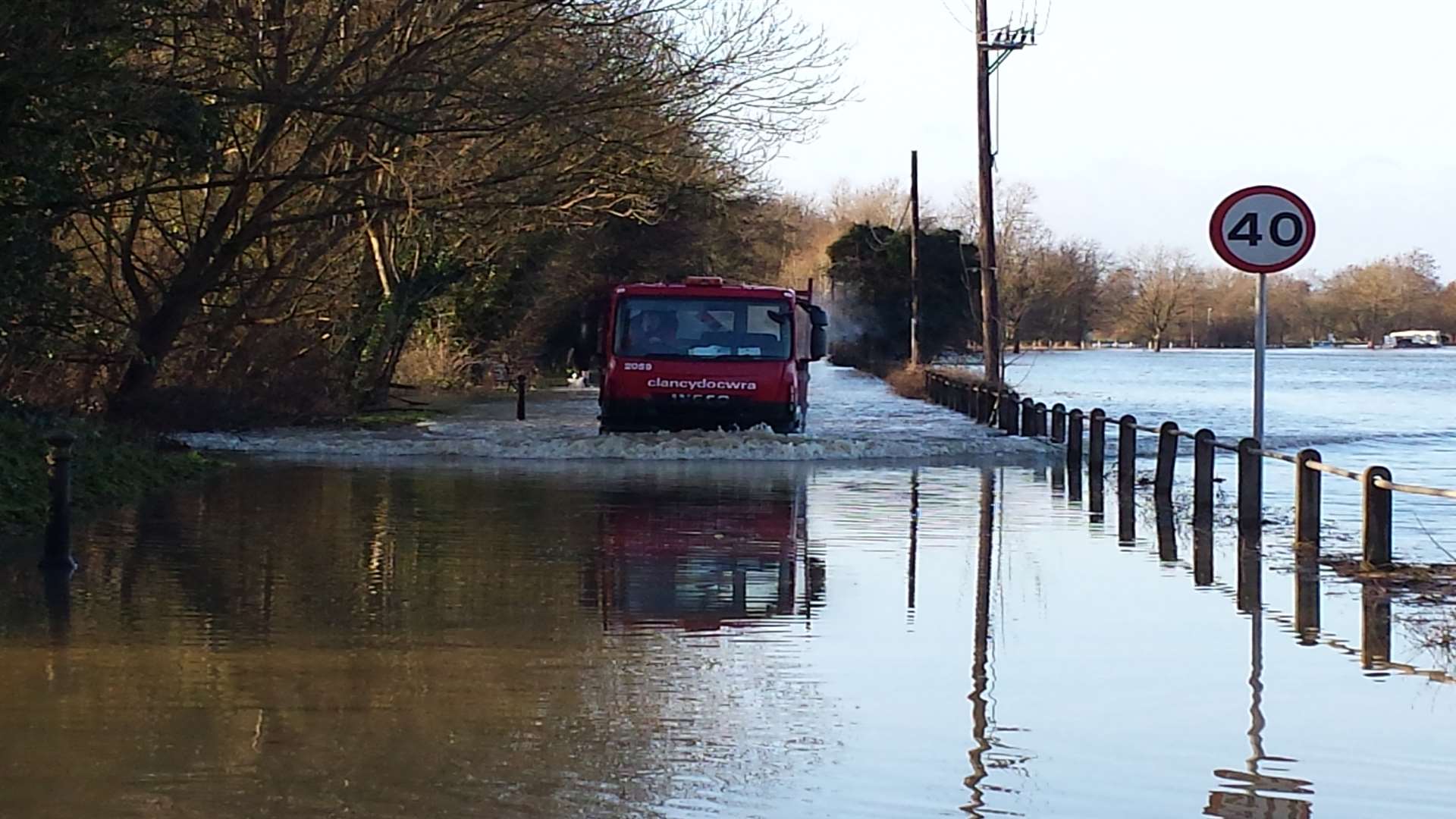
Villages throughout Kent were today urged to stay vigilant as heavy rain and strong winds continue into the weekend.
Three flood warnings and dozens of flood alerts were in place overnight throughout Kent, as the county teeters on the brink of more flooding.
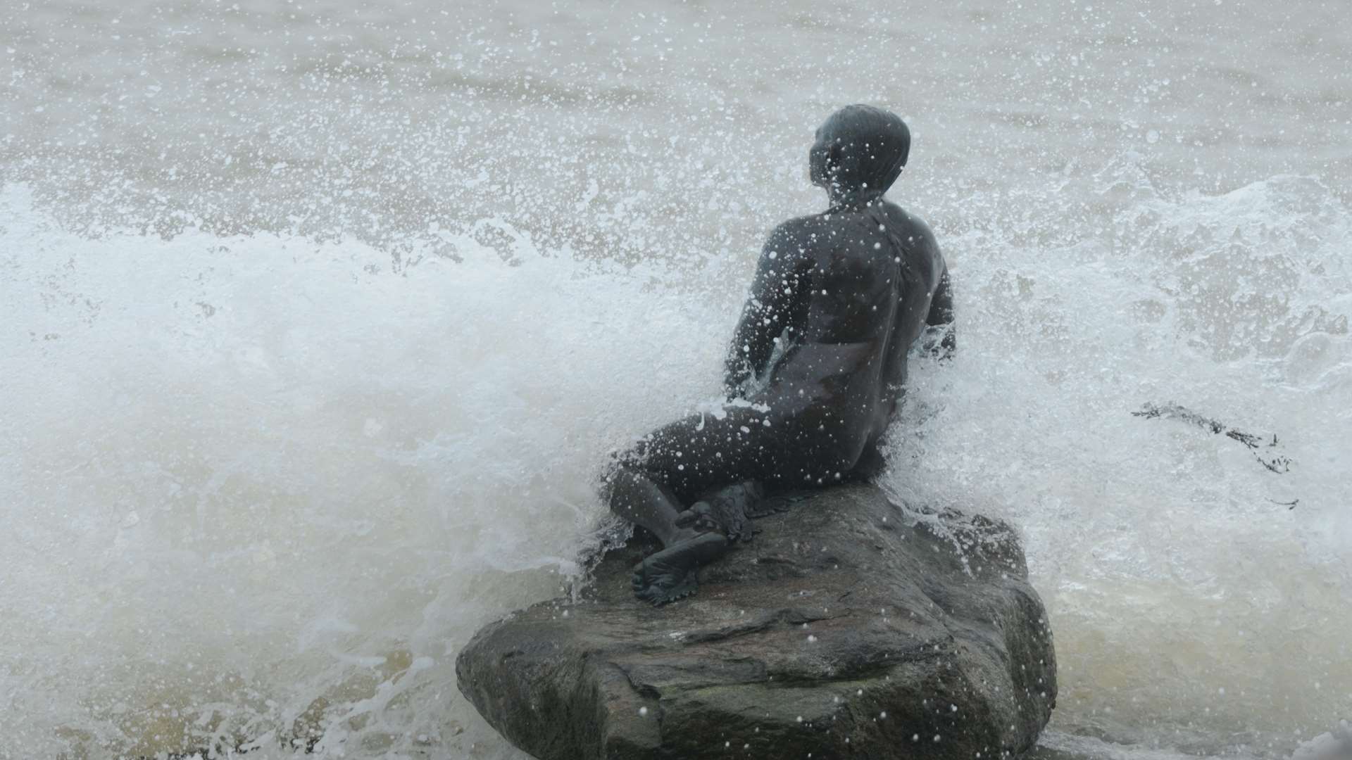
High tides were expected along the south coast during the early hours of this morning, with flooding possible along the Kent coastline.
The county's key rivers of the Stour and Medway were also being monitored over this weekend, as the Environment Agency warned continuing rain could swell already overflowing rivers.
Kent, and neighbouring West and East Sussex, were predicted to see rainfall totals of around 15mm today, with possible local maximums of 35mm.
Forecast totals for Sunday are lower, with up to 20mm possible in some areas.
On the coast, winds and waves will build throughout the weekend, according to the Environment Agency, with large waves forecast in places.
Julia Simpson, regional duty manager for the Environment Agency, said: "Our teams across the region, along the coast, and at the Thames Barrier have been working around the clock throughout this ongoing incident.
"We are preparing for the wet weekend - operating gates and structures, monitoring sea levels and checking that flood defences and barriers are in good working order.”
“We strongly urge the public to stay away from the coastline during this period of unsettled weather.

"We especially ask people to stay away from coastal paths and promenades as these could be highly dangerous as there is an increased risk of being swept out to sea”.