GO AD-FREE. Get 2 Months Digital Subscription for ONLY £1! Use code 2FOR1
GET STARTEDMore on KentOnline
GO AD-FREE. Get 2 Months Digital Subscription for ONLY £1! Use code 2FOR1
GET STARTEDMore on KentOnline
A severe weather warning for strong wind has been issued for Kent as Storm Aileen hits.
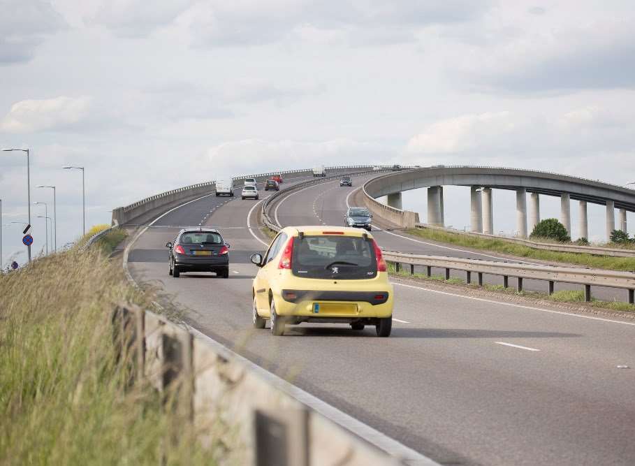
Gusts of up to 60mph are expected to hit parts of the county this evening and into tomorrow, prompting highways bosses to advise against driving on bridges.
The conditions could affect travel, including on the roads and railways, with possible restrictions.
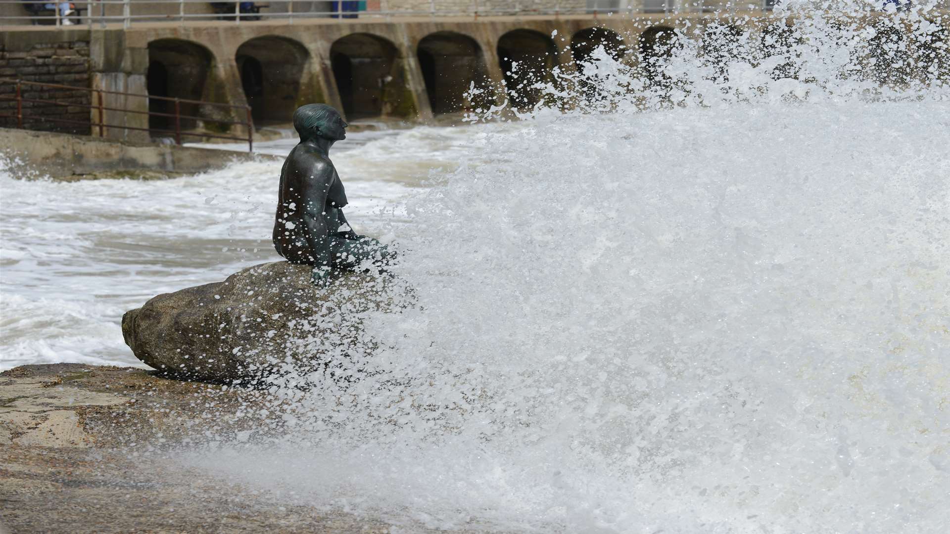
There is also a chance of power cuts, damage to trees and buildings, and large waves along the coast.
The yellow "be aware" warning is in place from 8pm tonight until 10am tomorrow.
Richard Leonard, head of road user safety at Highways England, said: "We’re encouraging drivers to check the latest weather and travel conditions before setting off on journeys, with strong winds and heavy rain expected from Tuesday evening until Wednesday morning.
"In high winds, there’s a particular risk to lorries, caravans and motorbikes so we’d advise drivers of these vehicles to slow down and avoid using exposed sections of road if possible."
These vulnerable drivers are warned to avoid the A2 Jubilee Way towards Dover, the Medway Bridge, the Sheppey Crossing and the QE2 Bridge linking Kent and Essex.
The Met Office says south-westerly wind will increase during the evening and night with gusts of 40 to 50 mph inland and 50 to 60 mph along the coast.
The strongest winds across Kent are expected between 10pm this evening and 5am tomorrow morning.
It will then turn westerly and gradually ease, but it will remain breezy throughout tomorrow, especially along the coast.
Drivers are advised to slow down if rain and spray from vehicles makes it difficult to see, keep well back from the vehicle in front and ease off the accelerator gradually if steering becomes unresponsive.
The warning covers the east and south of the county, but the Medway, Maidstone, Gravesend and Dartford areas look likely to avoid the worst conditions.