GO AD-FREE. Get 2 Months Digital Subscription for ONLY £1! Use code 2FOR1
GET STARTEDMore on KentOnline
GO AD-FREE. Get 2 Months Digital Subscription for ONLY £1! Use code 2FOR1
GET STARTEDMore on KentOnline
A weather warning is in place across Kent, with strong winds of up to 55mph expected to hit the county today.
The Met Office issued the yellow warning for wind at 6.25am, and it is expected to remain in place until 10pm.
As well as all of Kent, the alert covers the majority of England and Wales and stretches across to Northern Ireland.
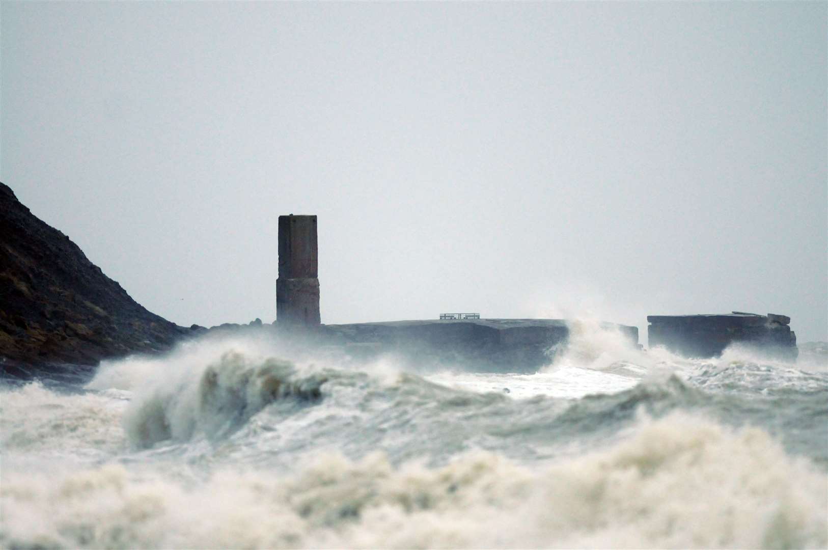
Gusts of between 40 and 45mph are expected widely inland with isolated gusts of up to 55mph predicted on exposed coastal areas near heavier showers.
This is likely to lead to some disruption and longer journey times, particularly on exposed routes and bridges.

Power cuts are also likely and train and bus services could be delayed.
It is likely that some coastal routes, seafronts and coastal communities will be affected by spray and large waves which are set to have a knock-on effect on ferry crossings.
DFDS is reporting delays of up to an hour between Dover and Dunkerque due to poor weather conditions.
Winds are expected to slowly ease through the evening.
People are being warned to check road conditions if driving, or bus and train timetables, amending their travel plans if necessary.
The strong wnds also mean traders at Gillingham Market will not be operating today.
The twice-weekly market usually takes place in the high street every Monday and Saturday between 9am and 4pm.
Medway Council has apologised for any inconvenience caused.
There are also reports Swanton Lane in Littlebourne is partially blocked in both direction due to fallen tree and accident between A257 Canterbury Road and Court Hill.