GO AD-FREE. Get 2 Months Digital Subscription for ONLY £1! Use code 2FOR1
GET STARTEDMore on KentOnline
GO AD-FREE. Get 2 Months Digital Subscription for ONLY £1! Use code 2FOR1
GET STARTEDMore on KentOnline
Home Folkestone News Article
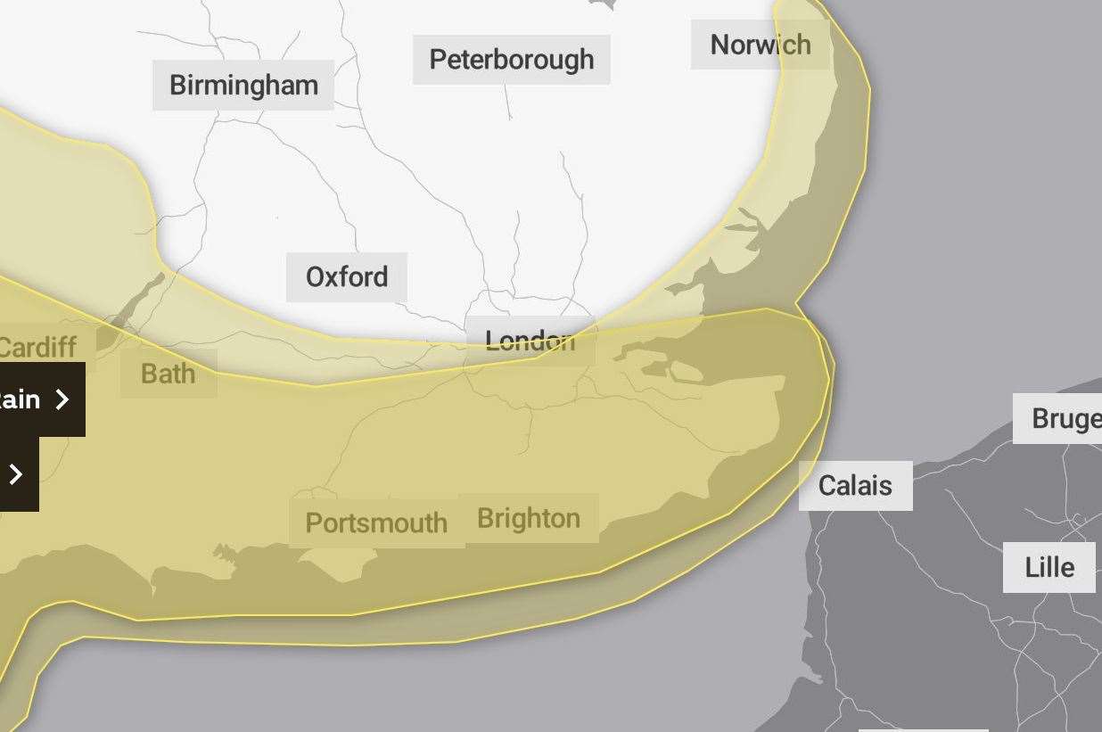
A yellow weather warning has been issued due to a potential risk to life as winds up to 90mph “maybe stronger” are expected to batter the English Channel.
Storm Ciarán will bring very strong gales to the south of the UK including all of Kent, starting at about 9pm Wednesday and ending at Midnight on Thursday.

The Met Office has warned there is a chance of roofs blowing off, power lines being brought down and beach material being thrown onto roads.
While coastal areas such as Folkestone and Dover are set to be worst hit, those living inland may still experience 40 to 50mph gusts.
Expert from the national weather service, Alex Burkill, said: “The impacts are going to be widespread.
“We are talking heavy rain and very strong winds.
“In coastal areas we could see 90mph gusts – possibly even stronger than that – so that's where were likely to see the greatest impacts.
“It is going to be a very windy spell as we go through Thursday in particular.
“Often our storms last a day or so but this one looks like it is going to drag its heels a bit into Friday.”
The warning comes due to a small risk to life from flying debris and large waves.
A Met Office spokesperson said: “Very strong and potentially damaging winds associated with Storm Ciarán are possible on Wednesday and Thursday.
“There is a slight chance that damage to buildings and homes could occur, with roofs blown off and power lines brought down.
“There is a small chance that flying debris will result in a danger to life and that injuries and danger to life could occur from large waves and beach material being thrown onto sea fronts, coastal roads and properties.
“Roads, bridges and railway lines could close, with potential delays and cancellations to bus, train, ferry services and flights.”
The organisation’s message was updated this morning to bring forward the start time of the storm and extend the duration.