More on KentOnline
More on KentOnline
Home Canterbury News Article
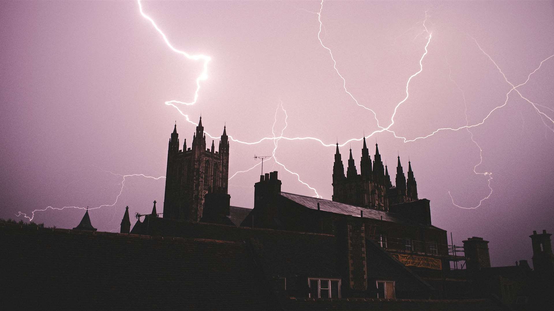
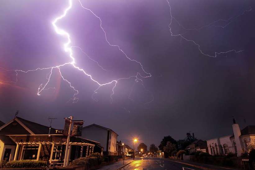
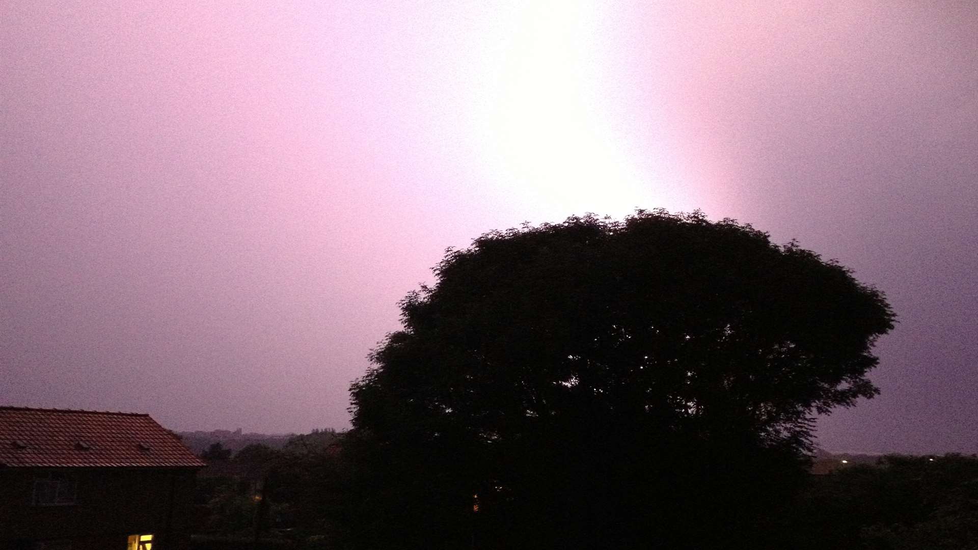
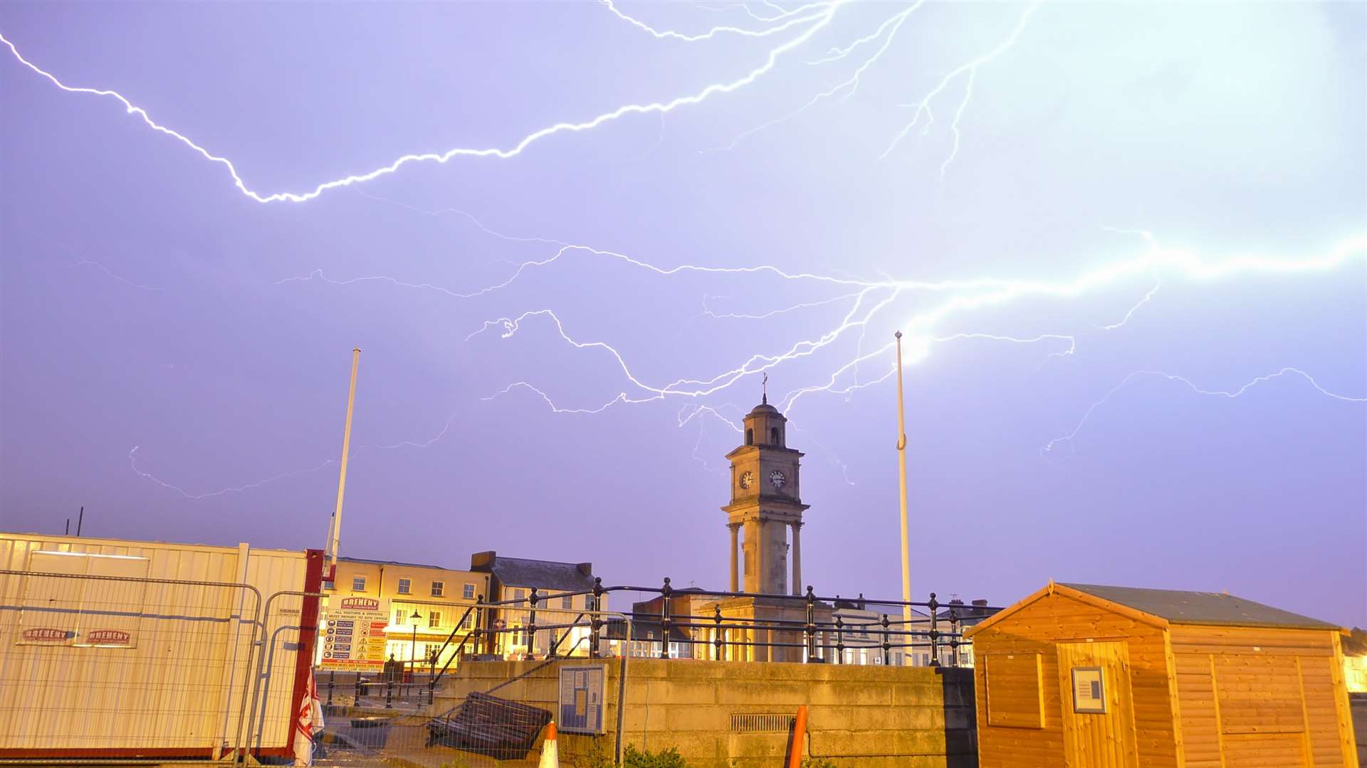
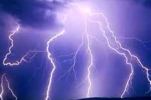
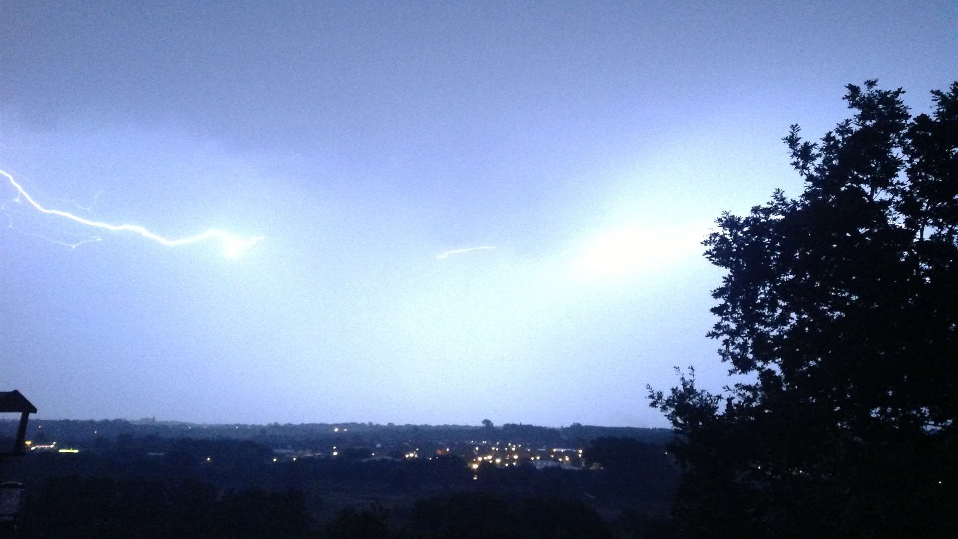
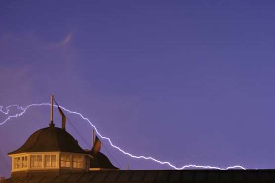
Claps of thunder and sheets of electrical light filled the night sky as east Kent suffered one of its most violent storms for years this morning.
Just hours after temperatures hit 32.3C - the hottest for seven years - torrential rain fell across the Canterbury district.
Naturalist Peter Gay, from Elham, says yesterday's temperature was the highest in the area since 2006, when thermometers hit 34.8C. But at just after 2am, the thunderous downpour erupted.
Mr Gay recorded 20mm of rain overnight, of which 14mm fell in a 10-minute period just after 3am.
The Met Office issued rain warnings for the whole of south-east England on Tuesday and all of Kent on Wednesday.
Chief forecaster Andy Page said: “An area of low pressure interacted with the plume of hot, humid air resident across parts of southern Britain.
“Whilst preceding days will have seen relatively isolated thunderstorms, the developing set-up on Tuesday and early Wednesday, provided the ingredients for more widespread and energetic storms.”
However, for today (Thursday) and tomorrow the Met Office is predicting less extreme conditions with temperatures in the late teens or early 20s and up to a 40% chance of rain.
Brian Lewis, who has been an amateur meteorologist for more than 50 years, is also forecasting a return to more normal weather for this time of year.
The 69-year-old from Elham said: “It’s interesting that for two Mondays in a row, Canterbury was one of the hottest places in the country.
“But it does seem we have come to the end of our hot spell with the collapse of the high pressure which has been anchored over Britain.
“This will be replaced by the usual weather pattern with the normal Atlantic fronts coming in. The effect is going to be more unsettled conditions.
“How long this will last, I don’t know. But August is statistically the hottest month of the year, not July, which has an average of just 19C.
“There’s even a real possibility of records tumbling next month given the way our weather patterns have become so topsy-turvey in recent years.”
Email your pictures to kentishgazette@thekmgroup.co.uk


