GO AD-FREE. Get 2 Months Digital Subscription for ONLY £1! Use code 2FOR1
GET STARTEDMore on KentOnline
GO AD-FREE. Get 2 Months Digital Subscription for ONLY £1! Use code 2FOR1
GET STARTEDMore on KentOnline
Home Canterbury News Article
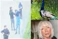
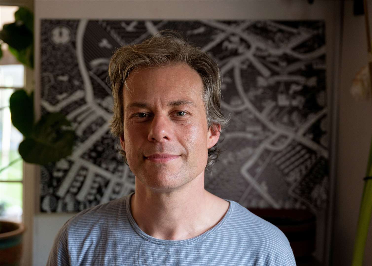
A talented dad is on a mission to chart the hidden gems buried in Kent’s past - by creating an array of hand-drawn maps.
Daniel Young began charting the county in 2020 when he and his family moved to Bekesbourne, on the outskirts of Canterbury.
Daily lockdown exercise walks around the village inspired the father-of-four to sketch their trodden paths and the points of interest in the area.
“It was a time for exploring new places”, said Daniel, 43.
“I did the first drawing mostly based on our observations as we walked around.
“But the ones I’ve done since have been heavily influenced by talking with locals - they’ve always got so many stories to tell.
“It’s such a rewarding process because every map is so full of conversations”.
Indeed, ‘mattress-sailing’ on the Nail Bourne, a statue of a dog on a sofa and a Saxon burial ground are among the peculiar items Mr Young has dug up.
The Canterbury resident says talking to pupils at Kent schools has been a great way to see things with a fresh perspective.
“A place though children’s eyes is all about the here and now,” Mr Young explained.
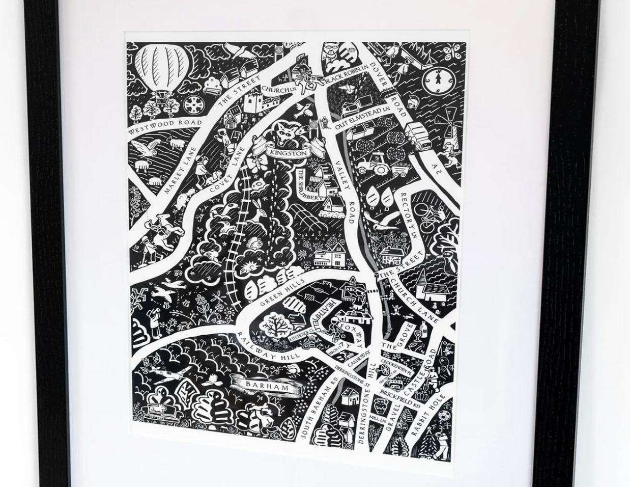
“Last month I was talking to a primary school class in Barham and I asked them what should be on the map.
“They were all talking about the Jumping Downs and how there’s a statue of dog on a couch.
“Turns out it was commissioned to honour a police officer, Ray Bovis, who worked as a dog handler and who died around the same time as his dog, Brodie, in 2020.”
Mr Young says some of the best features of his maps have come as a result of him simply asking people about the location of something.
For instance, when Mr Young attempted to plot the course of the Nailbourne he was told unusual yarns about DIY river raft races.
“A local told me that back in the 1980’s they would have rafting races with people making their own rafts with whatever they had.
“People would take their mattresses out, garden furniture, whatever they could use that would act as a raft.
“That’s why there’s a little man paddling a boat in my map of Kingston/Barham - it’s not a snapshot, it’s like where we are now, but with a nod to where we were.”
Conversation with locals has been both the making and the producing of Mr Young’s cartographic creations.
He says initially people will try to locate things they know, but then begin to question the random objects which have found their way into the community.
“The maps really get people talking at craft fairs,” he explained.
“First they’ll say ‘Where’s my house?’ but then they’ll start asking ‘why is there a skull in the middle of Chartham?’
“Or, ‘why is there a train in Wingham when there’s no train station there?’
“And so I’ll be able say because there was a Saxon burial ground there, and because there used to be a railway line in Wingham because it was a mining village.
“I think people love to talk about the places where they live because they feel so much pride about where they have chosen to spend their lives.”
Daniel has drawn maps of about a dozen villages between Canterbury and Dover, including Bekesbourne, Barham, Wingham, Littlebourne, Blean, Aylesham, Bridge, Nonington, Chartham and Chilham.
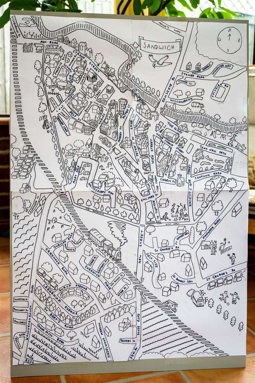
But the work he is most proud of is a recently completed map of Sandwich which, given the town’s size, made the feat all the more remarkable.
A Mandarin and Russian translator by trade, Mr Young has had more time to focus on his craft after translation work dried up, following Russia’s invasion of Ukraine.
He told of aspirations to one day draw larger maps of Canterbury, Whitstable and even a panoramic map of the Stodmarsh but conceeded the scale of the projects would be a “marathon” task.
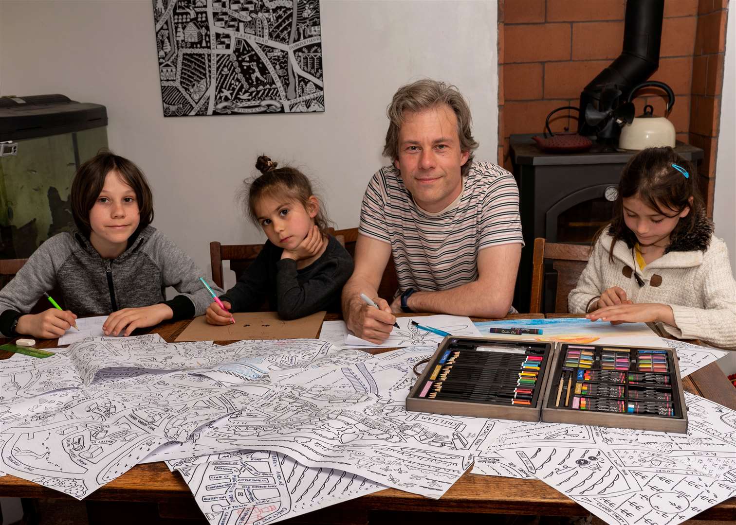
Explaining his technique, Mr Young said each map takes around three months to complete.
He starts by gathering lists of landmarks, then walks around the area talking to residents before taking drone photos tand drawing the place.
For more information on Mr Young’s maps, see his website.
“The research is really interesting, but it’s the drawing part that I enjoy the most - it’s usually with my kids at the dining room table,” he added.
“I think if a historian looked at my maps they would pick a lot of holes in them - but it’s just an interpretation.
“I’m not on some highbrow, self-righteous mission. It’s a labour or love and a passion - I want to hear people’s stories.
“I do this to make people happy and because Kent is beautiful.”