Unlimited Digital Access / Get £25 off your Annual Digital Subscription! Use code 25OFF
GET STARTEDMore on KentOnline
Unlimited Digital Access / Get £25 off your Annual Digital Subscription! Use code 25OFF
GET STARTEDMore on KentOnline
Maidstone Borough Council has come under fire after an environment report neglected to include a whole river.
The authority’s Green and Blue Infrastructure Strategy focuses on the borough’s environmental resources, such as green space and waterways, to help promote, guide and coordinate investment.
However, the document fails to mention the River Stour, despite all its springs being in Lenham.
Lesley Feakes, chairman of Lenham Heritage, the village’s archeological society, said the council had made a hash of the strategy and accused it of altering geography to fit its plans.
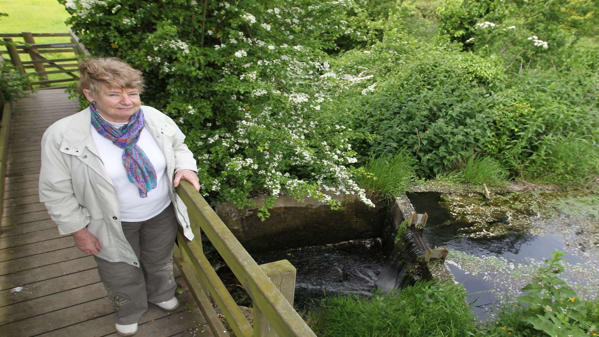
She said: “For MBC to publish a document that plays down rivers’ importance, with an inaccurate portrayal of their position and status, is appalling. This is how inaccuracies and poor general knowledge arise.
“For MBC to publish a document that plays down rivers’ importance, with an inaccurate portrayal of their position and status, is appalling." — Lesley Feakes
“I have written to the Royal Geographical Society as I feel a modern survey and record of all the springs and tributaries is needed so that government organisations do not make such errors and omissions in future.”
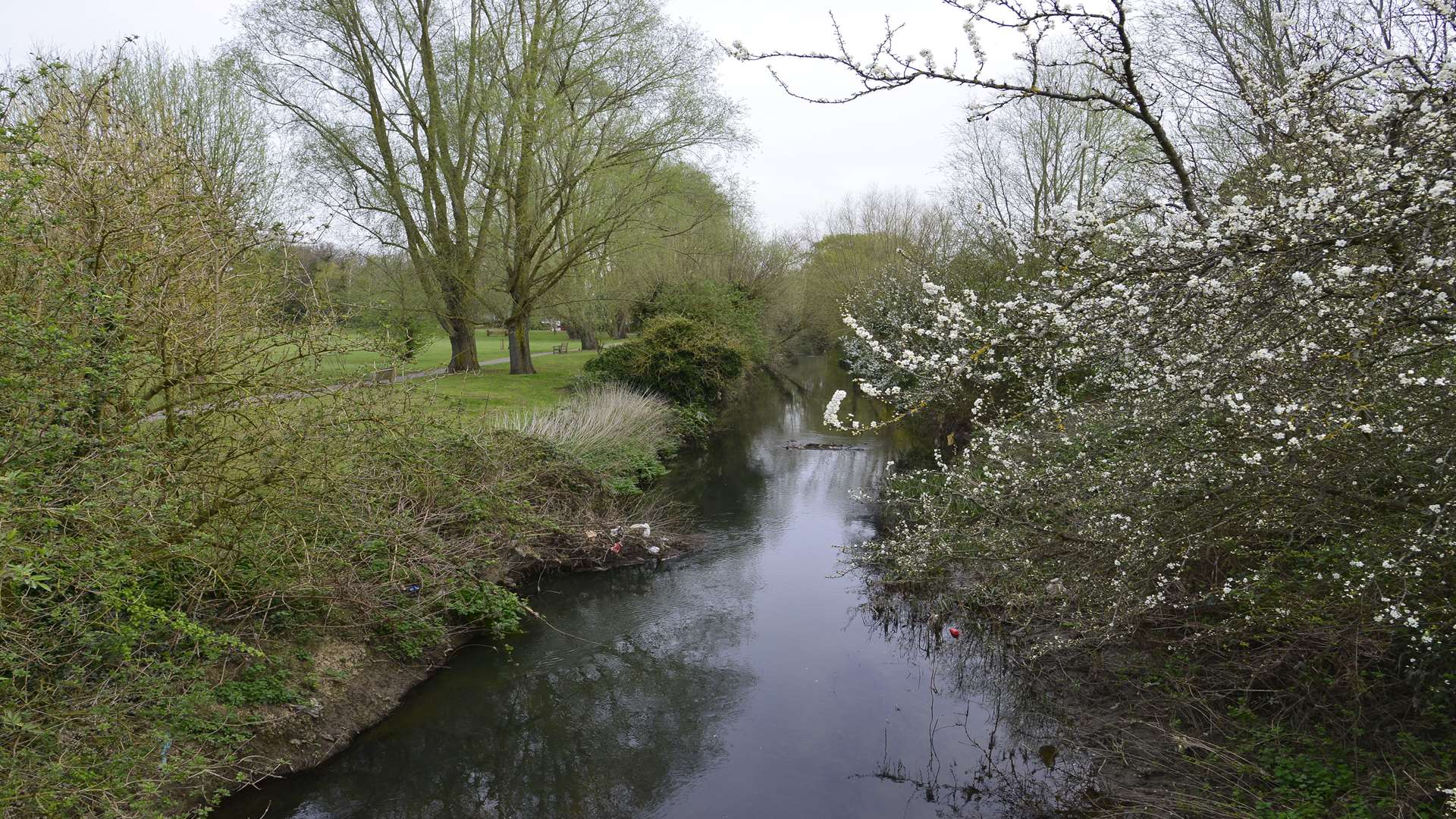
The strategy also contains inaccurate information about the River Len, saying it ends at Leeds Castle lake – despite the fact that it continues for more than three miles, eventually joining the Medway in Maidstone after having fed the Mote Park lake .
However, for Mrs Feakes the errors are most worrying as they could lead to inappropriate building on waterlogged land.
She added the site could be under water whenever there was torrential rain and development could pollute the river itself.
A MBC spokesman said the draft strategy was being updated following consultation in late 2013 and was being developed alongside the Local Plan.
More detailed mapping of the river system will be included in the next draft, along with specific reference to the Great Stour.
The spokesman added: “All sites proposed for inclusion in the emerging Local Plan have been the subject of rigorous examination by statutory consultees, including the Environment Agency, which considers the risk of flooding.
“Furthermore, statutory consultees comment on all relevant planning applications to provide expert opinion, and inappropriate development should be refused.”