GO AD-FREE. Get 2 Months Digital Subscription for ONLY £1! Use code 2FOR1
GET STARTEDMore on KentOnline
GO AD-FREE. Get 2 Months Digital Subscription for ONLY £1! Use code 2FOR1
GET STARTEDMore on KentOnline
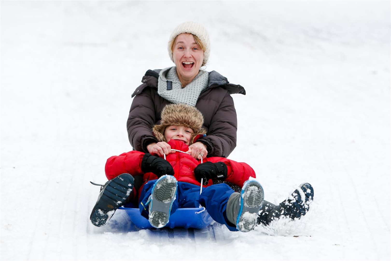
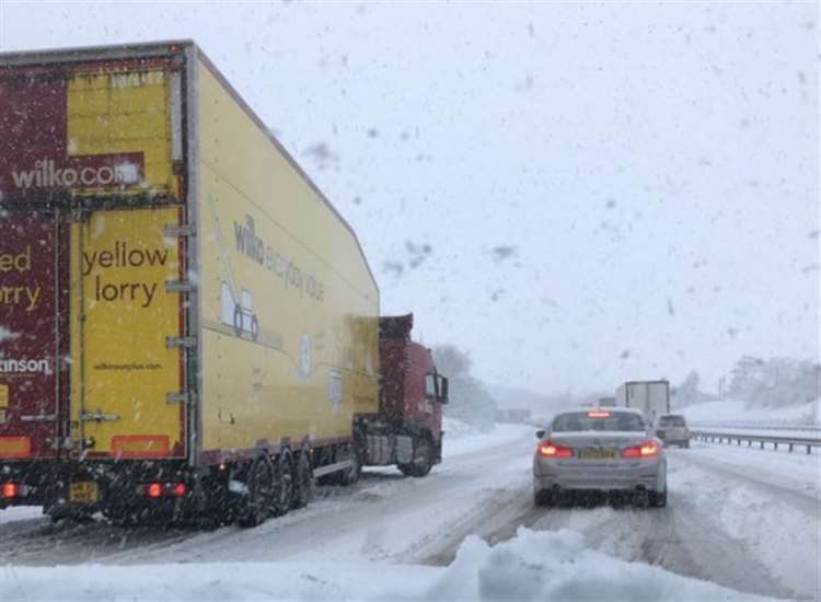
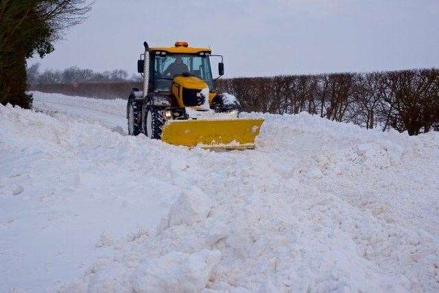
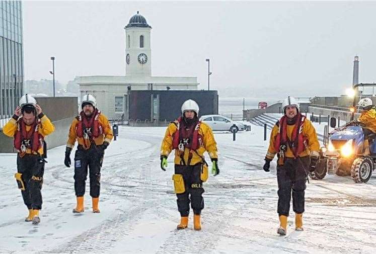
Freezing fog and flood warnings are continuing to cause disruption across England as the country battles with more than a week of below-average icy temperatures.
With the latest cold weather alert now in place until Friday morning and more fog expected this weekend - that has already prompted a warning from London's mayor about worsening air quality - it seems we've yet to see the back of the current wintry spell.
But while temperatures may rise early next week there are suggestions changes to the polar vortex - and a phenomenon called a sudden stratospheric warming which was behind the 2018 Beast from the East - could lead to even colder weather blasting in from the Arctic for February.
Here's everything you need to know about the weather system and what it can do.
What is a polar vortex?
The polar vortex is a circulation of fast-moving winds high up in the stratosphere - up to 30 miles above the Earth - which can regularly exceed 155 miles per hour and the strength of those in the strongest Category 5 hurricanes. They are also responsible for keeping cold air trapped over the Arctic.
But during the winter the polar vortex can both strengthen and weaken - and it is these changes that influence the atmosphere lower down and subsequently our own weather conditions.
The Met Office explains: "A strong polar vortex favours a strong jet stream. The jet stream is a fast moving ribbon of air around 5 to 7 miles above the earth that drives weather systems from the Atlantic towards the UK.
"Conversely, when the polar vortex weakens, the jet stream also tends to weaken and become distorted. In a typical UK winter, the jet stream brings winds from the west giving us our mild, damp climate. With a stronger jet stream, stormy and very wet weather tends to occur.
"But a weaker jet stream allows more frequent spells of northerly or easterly winds to affect the UK and in winter these bring very cold air from the Arctic and continental Europe."
A Sudden Stratospheric Warming
Sometimes the polar vortex can even break down entirely and this is called a ‘Sudden Stratospheric Warming’ which has been linked to more-extreme spells of bitterly cold weather in recent years.
When this happens - which isn't necessarily every year - the winds in the vortex either weaken temporarily or suddenly reverse direction which leads to a dramatic change in temperature above us hence the term 'stratospheric warming'.
This can in turn cause changes to the jet stream which appears to snake - bringing with it a large block of high pressure that forms over the North Atlantic and Scandinavia which in turn gifts northern Europe a long dry spell of extremely bitterly cold weather.
What happened in 2018?
While the tail end of 2022 and the start of this year have been marked with cold weather alerts and below freezing temperatures that aren't particularly commonplace in England's weather in January, the last significant cold wave to strike in winter was in 2018 with a weather system nicknamed the Beast from the East.
Formed by a distorted polar vortex - it pulled ice-cold winds and heavy snow from Siberia into Europe for a number of days between the end of February and early March.
At least 17 people are estimated to have lost their lives in the UK during that time while close to 100 casualties were reported across mainland Europe as countries found themselves deep in snow and freezing winds that caused chaos for countries.
What is in February's forecast?
While some lingering fog may hover over the weekend, the end of January is expected to be considerably warmer than it has been for weeks. However the Met Office's long range forecast that looks at UK-wide weather patterns up to three weeks in advance does forewarn of more icy spells to come.
Currently the Met Office says it can most likely predict sudden stratospheric warmings about a week in advance - with forecaster Alex Deakin already quoted as saying that computer models point to the 'possibility' of an SSW next month.
In an interview with the i he explained: "There’s certainly a weakening of the polar vortex as we go through the next week. The chances of a sudden stratospheric warming is currently 20 or 25 per cent. This was responsible for the easterly winds in 2018 that brought us significant snowfall.
"The most likely scenario at this stage is for the polar vortex to weaken, but computer models show an SSW is at least a possibility."