GO AD FREE | Get your Digital Subscription for only 50p a week! Use code SUMMER
GET STARTEDMore on KentOnline
GO AD FREE | Get your Digital Subscription for only 50p a week! Use code SUMMER
GET STARTEDMore on KentOnline
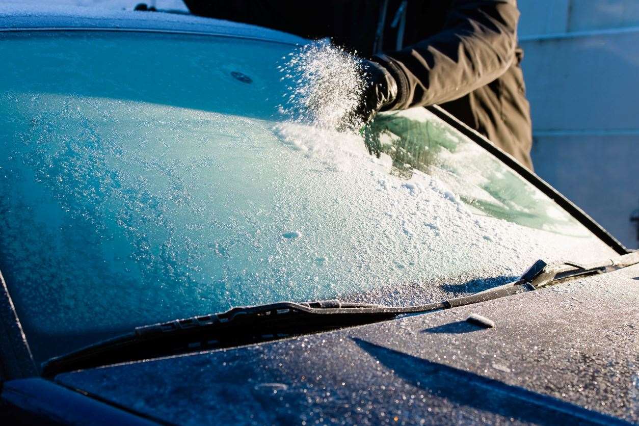
Blink and you’ll miss it, but Kent has had its first smattering of snow today,as temperatures took a tumble.
Residents in Sevenoaks, Gravesend, Bexley and Orpington said they saw flakes falling this morning (November 30) – albeit only for a moment.
It comes as a yellow cold-health alert is placed over the region until 12pm Tuesday (December 5) as “wintry weather” sweeps across the country.
The warning is aimed at vulnerable people with an increased risk of falling ill amid long periods of cold weather, including the elderly, very young, pregnant mums, and people with long-term health conditions.
Kent County Council director of public health, Dr Anjan Ghosh, said: “Staying warm and well during cold spells is important for everyone, but particularly for people who are more susceptible to low temperatures.
“Given the sometimes delayed impacts of cold weather on our health, please keep looking out for the vulnerable people in your life, including our older residents, the very young, anyone with heart and respiratory conditions or poor mental health - and follow commonsense advice.
“Heating one room to at least 18°c, having hot food and drinks and getting the free seasonal vaccines on offer if eligible can all help protect against illness brought on by the cold, such as heart attacks and strokes – reducing the need for NHS treatment or a trip to A&E.”
In a video taken earlier today, slight snowfall can be seen in Sevenoaks.
But with temperatures start to plunge as we enter December, with frosts and colder-than-average conditions predicted, more could be on the way.
By Saturday, daytime temperatures across Kent are set to drop to around 2C with those living in Sevenoaks expected to be the chilliest, with warnings it could feel more like -4C in the wind.
But could we be looking at a white Christmas this year?
The Met Office has released its long-range weather forecast for next month including the week leading up to the festive season – Monday, December 18 to Monday, December 25.
It is expected conditions will be “changeable” with “wetter and windier than average conditions”.
Although temperatures are most likely to be near or above average, the Met Office has said it “does not rule out some spells of cold weather and associated wintry hazards, though the chances of any prolonged spells of cold weather are low.”

Bookies are offering odds of it snowing in London as 10/1.
So snow could well still be on the cards for the big day.
For it to be defined as a white Christmas only one snowflake needs to fall on December 25 anywhere in the country.
Technically, 2022 was the last year we had one with 9% of weather stations recording snow falling, although none reported any settling on the ground.
The last widespread white Christmas in the UK was in 2010 when temperatures plunged to -10°C.
That was due to icy winds blowing in from Siberia in northern Asia.


