GO AD-FREE. Get 2 Months Digital Subscription for ONLY £1! Use code 2FOR1
GET STARTEDMore on KentOnline
GO AD-FREE. Get 2 Months Digital Subscription for ONLY £1! Use code 2FOR1
GET STARTEDMore on KentOnline
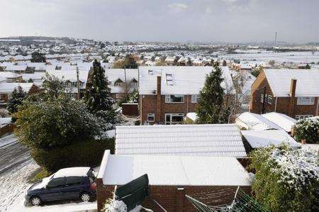
A bank of clouds is approaching Kent from the North - and it promises to bring snow.
Police are warning motorists to take care as the Met Office has issued warnings about freezing temperatures due to hit Kent as early as Tuesday afternoon.
Snow is predicted for the region tonight with some very heavy snowfall possible on Wednesday morning.
Assistant Chief Constable Gary Beautridge said: "Motorists need to stay prepared for the next few days. Please allow extra time for your journey and make sure you have warm clothing, food and drink supplies with you. If the weather is severe, please only travel if your journey is absolutely necessary.
"Pedestrians too should take great care as conditions underfoot can be treacherous.
"If you have elderly or vulnerable neighbours or relatives, then please remember to check on them to ensure they are safe and well."
Kent County Council says it has a good supply of salt, although much depends on how long the cold snap lasts.
Audio: Listen to KCC councillor Nick Chard on the grit situation
The advice from Kent Police is:
For information about road conditions on motorways and trunk roads, check the Highway Agency website.
For information on weather conditions, visit the Met Office website.