Unlimited Digital Access / Get £25 off your Annual Digital Subscription! Use code 25OFF
GET STARTEDMore on KentOnline
Unlimited Digital Access / Get £25 off your Annual Digital Subscription! Use code 25OFF
GET STARTEDMore on KentOnline
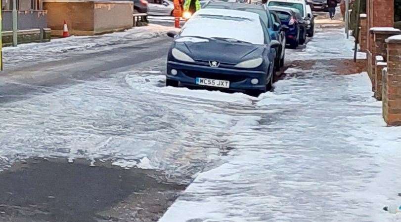
A yellow weather warning has been issued for ice, affecting the whole of Kent.
Coming into force from 7pm and lasting until 10am tomorrow, drivers in the county are being urged to take care on the roads.

It comes as ice could form following wintry showers, leading to difficult driving conditions during the night. This means journeys may take longer than usual.
Weather experts say there could be some icy patches on untreated roads, pavements and cycle paths.
This would lead to some injuries from slips and falls on icy surfaces.
Earlier today, it was reported that temperatures are set to rise following a recent cold snap.
Temperatures have dipped below freezing over the past few days, with the county even seeing its first snowfall earlier this month.
Met Office forecasters predict temperatures will reach double figures in most parts of Kent on Sunday.
Margate, Canterbury, Gillingham, Sittingbourne, Ashford, Tunbridge Wells, Dover, Folkestone, Gravesend and Maidstone will see highs of 10C, Dartford could reach 11C while Sevenoaks will be slightly cooler at 9C.
The mercury will continue to rise on Monday, becoming higher than average, increasing to between 11C and 13C, with highs of between 12C and 14C on Tuesday.
Listen to kmfm for travel updates.