GO AD FREE | Get your Digital Subscription for only 50p a week! Use code SUMMER
GET STARTEDMore on KentOnline
GO AD FREE | Get your Digital Subscription for only 50p a week! Use code SUMMER
GET STARTEDMore on KentOnline
Thermometers are set to soar to 37 degrees over the next few days.
While all corners of Kent are forecast to be soaking up the sun - albeit with breaks of cloud - for the next few days, for the second week in a row a Friday scorcher is predicted.
Watch how the temperatures are expected to change over the next few days
As a result, a heat health alert has been issued by Kent County Council and the Met Office for the south east.
Met Office chief meteorologist Frank Saunders said: "It is likely to be hotter in south east where 34 to 37C is possible.
"Saturday will likely be another hot day for southern and central parts of the UK, with heatwave conditions possibly being met."
Thousands packed onto beaches across the county last weekend - sparking long tailbacks on gridlock on the roads.

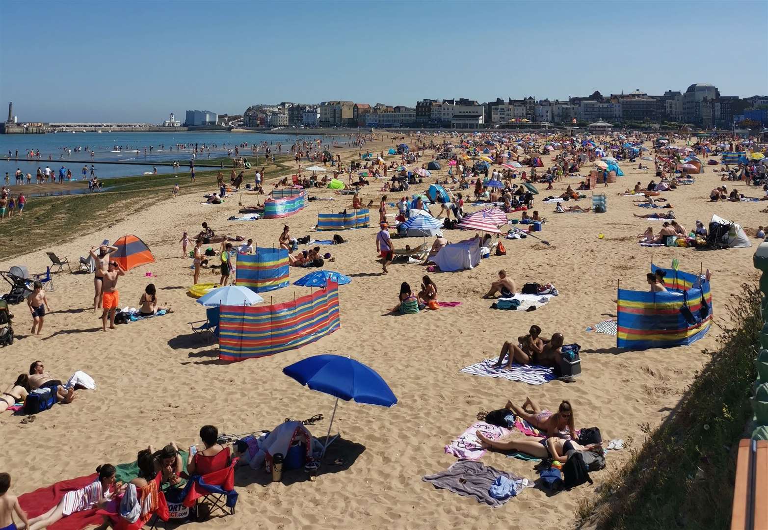
Electronic signage was also in operation on motorways, asking people to go to other, quieter beaches, while Thanet District Council urged sun-seekers to stop flocking to popular coastal hotspots.
Temperatures are due to remain in the mid to low 20s during the majority of the week before rising on Thursday.
Following the hot weekend, figures will remain high going into next week. Currently, no rain is forecast for Kent for the next 10 days.
Deputy chief meteorologist, David Oliver said: “High temperatures could trigger some thunderstorms across southern parts of the UK over this weekend, but for most there will be plenty of dry and sunny weather.
"At the moment there is some uncertainty as to how long the hot spell of weather will last."
For all the forecasts, warnings and weather related news, click here.


