GO AD-FREE. Get 2 Months Digital Subscription for ONLY £1! Use code 2FOR1
GET STARTEDMore on KentOnline
GO AD-FREE. Get 2 Months Digital Subscription for ONLY £1! Use code 2FOR1
GET STARTEDMore on KentOnline
Storm Eunice has brought major disruption to Kent with 90mph winds battering the county.
So ferocious were the conditions yesterday that a red weather warning was put in place by the Met Office.
Now a yellow warning has been issued - meaning the gales are less severe, but gusts of over 50mph are still expected in parts of Kent today.
Today, the yellow weather warning for wind is in place until 6pm.
Another has been issued for Sunday afternoon, from midday until 3pm, with gusts again reaching above 50mph.
And we won't have escaped the wild winds come the start of the week - as a final yellow weather warning is again set for noon to 3pm on Monday.
At last, on Tuesday, there are currently no alerts in place. According to the Met Office, the worst gusts will peak at about 39mph.
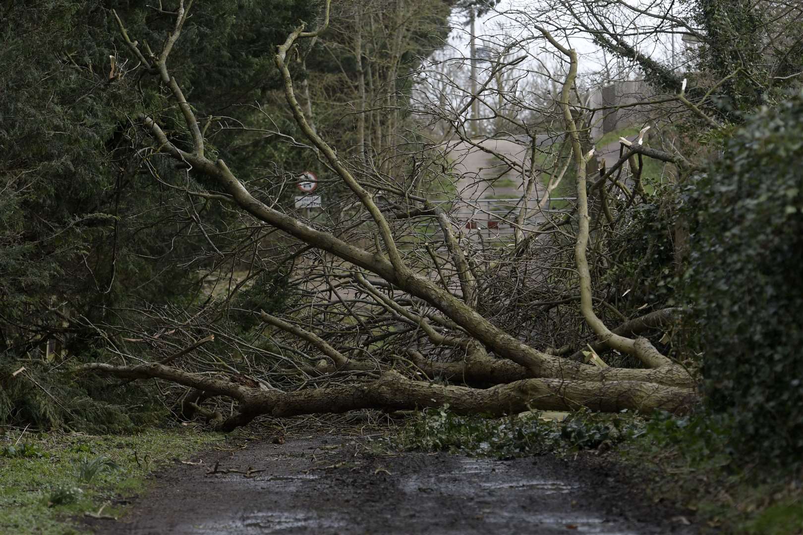
The extreme conditions have caused major disruption, with 33,000 households in Kent waking up this morning to find they still had no power.
Cabling suffered significant damage yesterday as Storm Eunice tore through the county.
The gale-force winds caused a month's worth of faults in a matter of hours.
UK Power Networks says its equipment has been damaged in more than 1,800 locations.
Bosses say the repair work will be a "multi-day event", meaning some could be without power going into the new week.
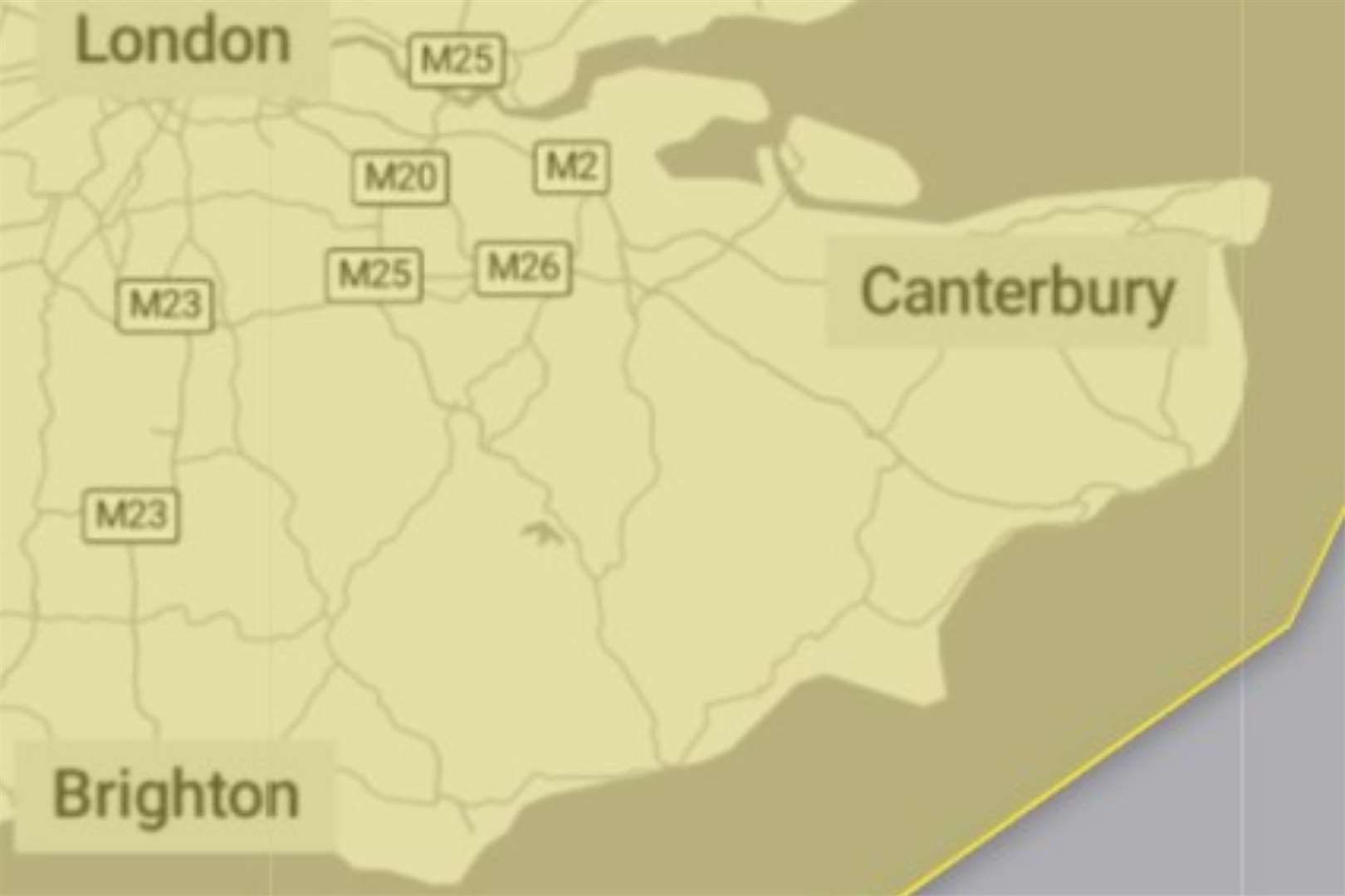
There is also disruption across the county's rail and road networks. You can follow our live travel blog here.
For a round-up of pictures and videos of the destruction caused by Storm Eunice in Kent, click here.