GO AD-FREE. Get 2 Months Digital Subscription for ONLY £1! Use code 2FOR1
GET STARTEDMore on KentOnline
GO AD-FREE. Get 2 Months Digital Subscription for ONLY £1! Use code 2FOR1
GET STARTEDMore on KentOnline
Kent is braced for an official mini-heatwave with temperatures hitting almost 30 degrees over the next few days.
Parts of the county are set to bask in sweltering heat and sunshine from Monday onwards, forecasters have said.
Today people can expect plenty of evening sunshine with most parts of the county remaining dry and clear overnight – although western parts of Kent may see a little more cloud than others, the Met Office has warned.
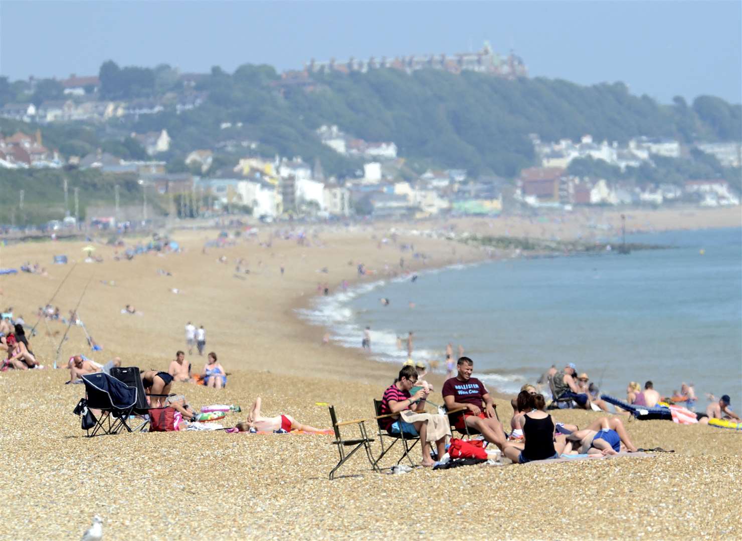
Here are some of the best beaches in the county to visit during the heatwave.
Monday is expected to be dry with lengthy sunny spells, although sunshine may be a little hazy at times.
Temperatures during this time could reach as high as 27 degrees.
Forecasters say the very warm conditions are likely to last until late Wednesday where there is a chance of heavy thunder showers.
A location meets the UK heatwave threshold when it records a period of at least three consecutive days with daily maximum temperature levels which vary across the country.

From Thursday the weather county-wide is expected to take a turn for the worse across he bulk of the UK.
The Met Office says there is a strong likelihood of showers at times, and these could turn heavy or thundery in places with a risk of localised torrential downpours.
Outside of showers, periods of drier and sunnier weather are still a possibility, and these are most likely to be longest lived across eastern areas.
Annie Shuttleworth, a Met Office forecaster said: “We are expecting temperatures to rise at the beginning of the new week.
"Despite a cloudy start to Monday, conditions will be clear and bright with hot temperatures for large parts of England and eastern Wales as the result of continental air moving in from the south.
“This air will start to push through the country on Tuesday and Wednesday, dragging temperatures as high as 29C (84.2F) for parts of the south-east while Scotland and Northern Ireland will also move into the mid-twenties.