Unlimited Digital Access / Get £25 off your Annual Digital Subscription! Use code 25OFF
GET STARTEDMore on KentOnline
Unlimited Digital Access / Get £25 off your Annual Digital Subscription! Use code 25OFF
GET STARTEDMore on KentOnline
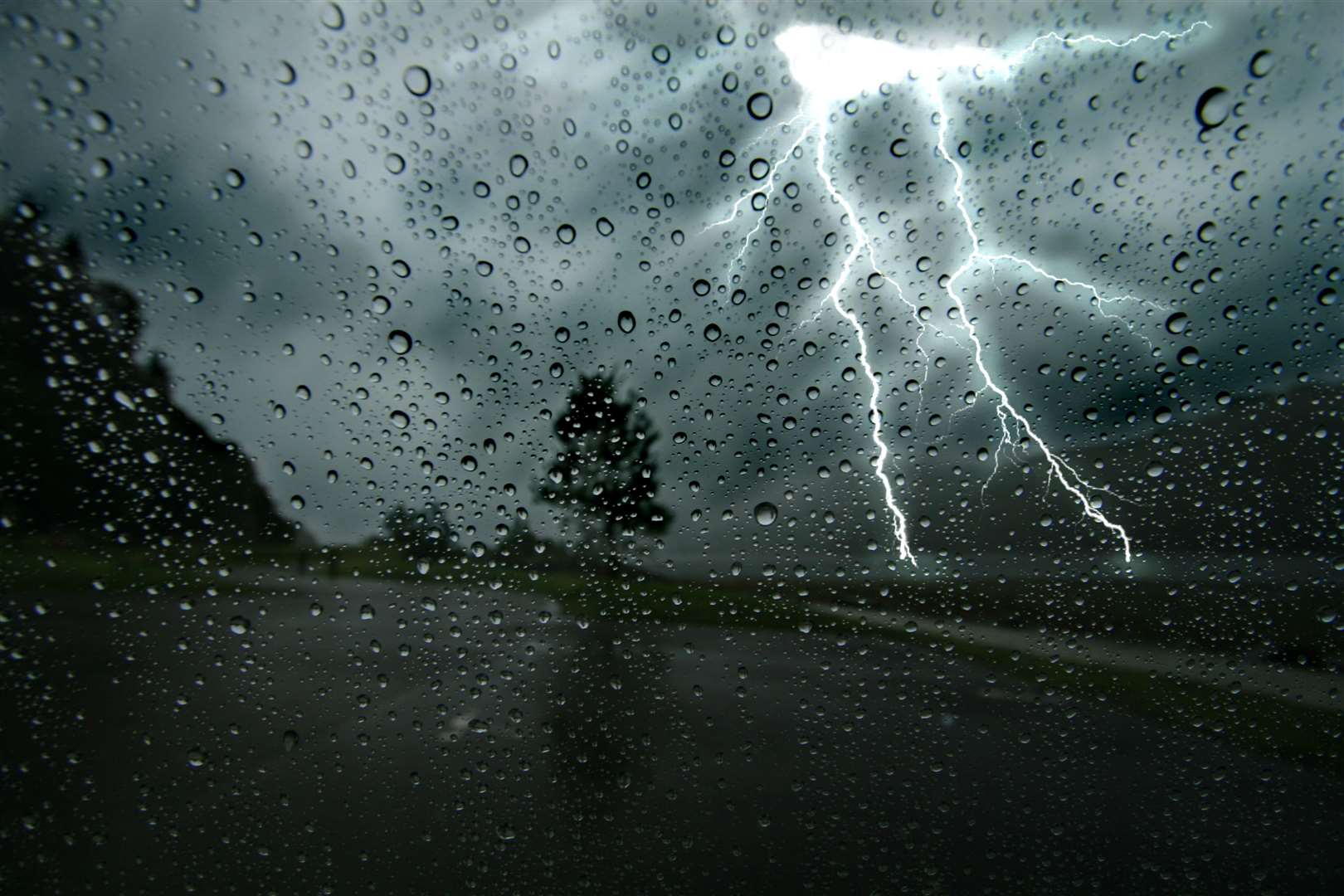
The Met Office has reissued a yellow weather warning, with stronger gusts and lighting now expected to hit Kent this evening.
Yesterday forecasters warned much of the country would experience a brief spell of heavy rain and squally winds, with a yellow weather alert in place from Cornwall to Kent between 10am and 7pm.
It's expected the weather front will cross the country, with wind speeds rising in Kent this afternoon before an intense spell of stormy weather later.
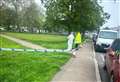
The Met Office says spray and flooding is expected on roads, and warns delays to road, rail, air and ferry transport are likely.
It also warns of delays for high-sided vehicles on exposed routes and bridges, and that some homes and businesses may experience flooding and short term power loss.
A statement adds: "A narrow band of rain, heavy at times and briefly intense with a chance of lightning, will move eastwards late on Thursday morning and into the afternoon, clearing Cornwall and west Wales during the morning and Kent during the evening. 10 to 15 mm of rain is likely to fall in a 1 to 2 hour period, with 20-25 mm in a few places.
"With saturated ground, this is likely to lead to a fair amount of surface water on roads and flooding in one or two places. Strong winds will be an additional hazard with some gusts of 50-60 mph inland and perhaps briefly 60-70 mph along some exposed coasts."