GO AD-FREE. Get 2 Months Digital Subscription for ONLY £1! Use code 2FOR1
GET STARTEDMore on KentOnline
GO AD-FREE. Get 2 Months Digital Subscription for ONLY £1! Use code 2FOR1
GET STARTEDMore on KentOnline
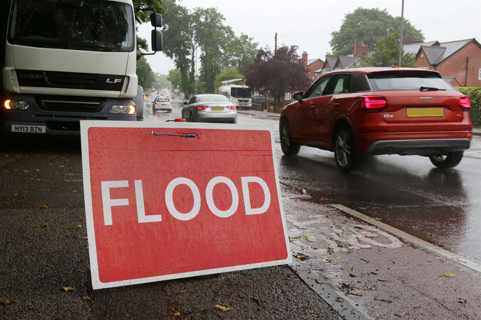
There is more heavy rain on the way for Kent, the Met Office has warned – bringing with it a risk of flash flooding.
Despite the county basking in a mini-heatwave last weekend, as temperatures soared, this weekend has proved to be a washout so far.
Fans got a soaking while watching last night's England V Scotland Euros 2021 match and today dawned grey but significantly drier.
However, more showers are due overnight.
According to the Met Office, it's going to be cloudy during this evening, "with an increasing risk of showery rain" across the region towards dusk.
It added that showers might be heavy, with a risk of thunder later in the night.
Tomorrow, there will be a cloudy start with showers continuing, although these are predicted to gradually ease during the afternoon to allow some brief sunny spells.
"Possibly becoming cloudy with rain or showers again later," the weather experts warn.
Looking at the outlook for Monday to Wednesday, the Met Office says: "Dry at first Monday, quickly deteriorating with frequent heavy showers across the region.
"Risk of showers continuing Tuesday, but turning dry and sunny late in the day. Sunny spells Wednesday."
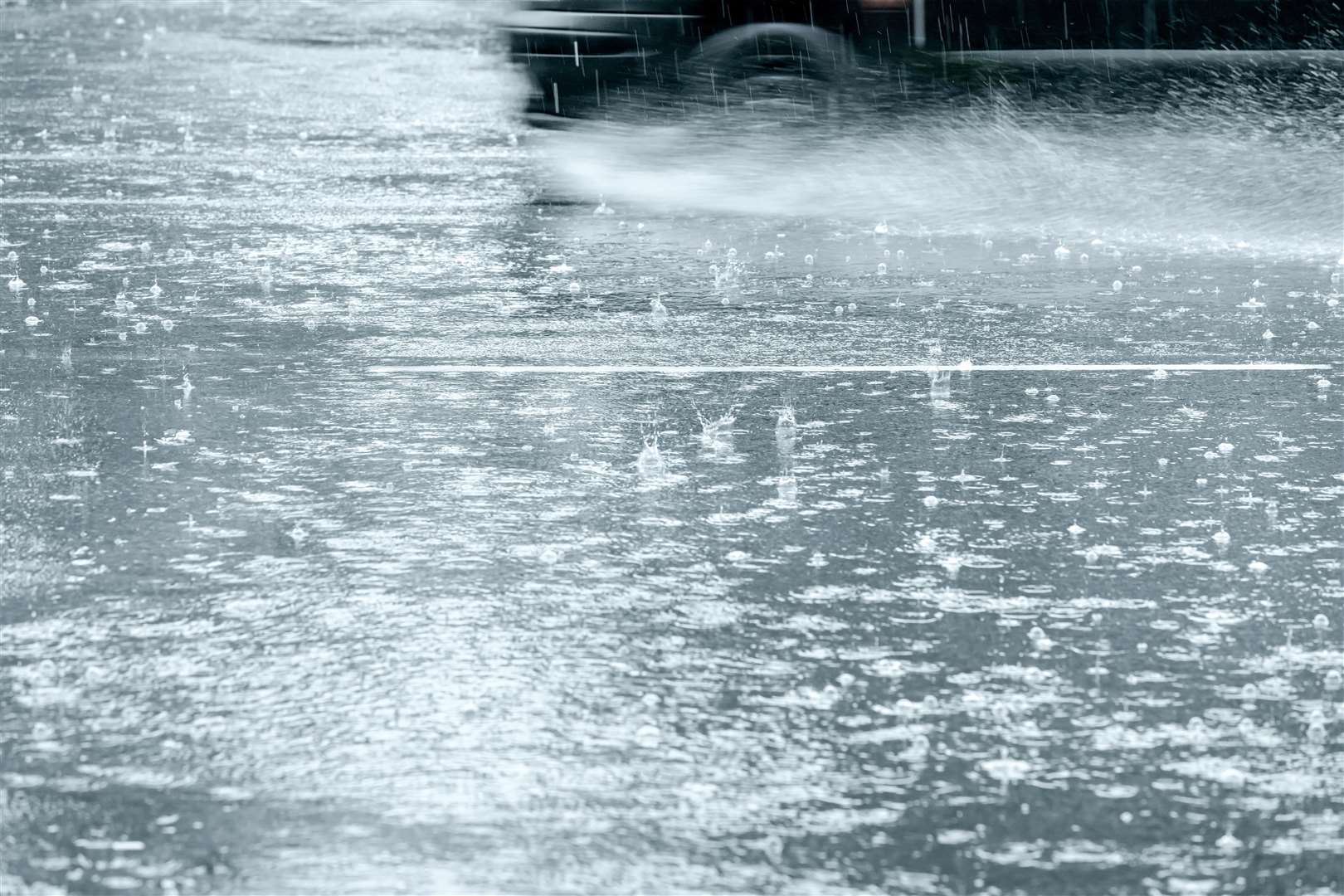
Alex Burkhill, a meteorologist with the Met Office, told the PA news agency that parts of southern England could see 10-15mm or even 20mm in an hour on Saturday night going into Sunday.
The total rainfalls could reach 30mm over two or three hours in areas of Kent, as well as Essex and East Sussex.
Mr Burkhill said: “It is definitely heavy rain for any time of year but it is not unusual. At this time of year we generally get more intense rain.
“It may not go on as long as the winter and autumn months, but this time of year the rain has a lot more energy because of the warm air and there is a greater risk of flash flooding.”
He continued: “Unlike winter when long periods of rain cause water levels to rise and rivers to burst their banks, in summer there are periods of intense rain – really heavy for a short period – and you get flash floods when drains become blocked or are unable to cope with intense rainfall.”
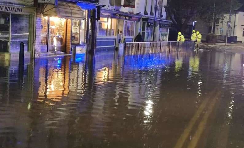
Last week, Hythe High Street suffered bad flooding following Thursday night's storms.
For all the forecasts, warnings and weather related news, click here.