GO AD FREE | Get your Digital Subscription for only 50p a week! Use code SUMMER
GET STARTEDMore on KentOnline
GO AD FREE | Get your Digital Subscription for only 50p a week! Use code SUMMER
GET STARTEDMore on KentOnline
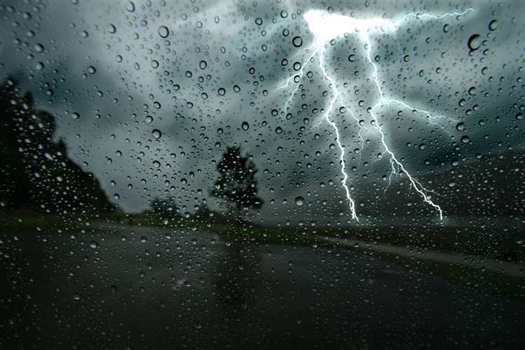
More than half a month’s rain could fall in Kent today, leading to “a few homes and businesses” being flooded.
Between 30mm to 40mm of rain is expected to fall in some spots in just six hours, the Met Office has warned, while issuing a yellow weather warning.
The first warning came into force at 6am today and ends at midday, while the second is from 8pm tonight until 5am tomorrow.
In a typical August, 63mm of rain falls across the southeast of England over the entire month.
Buildings and structures could be damaged by flooding and lightning strikes while homes could also lose power “for a short time”.
There is also “a good chance” drivers in affected areas could be delayed by spray and standing water, and rail passengers could face longer journeys.
Holidaymakers beginning their summer getaway are advised to check the Met Office app and social media channels for updates and brace themselves for longer journey times.
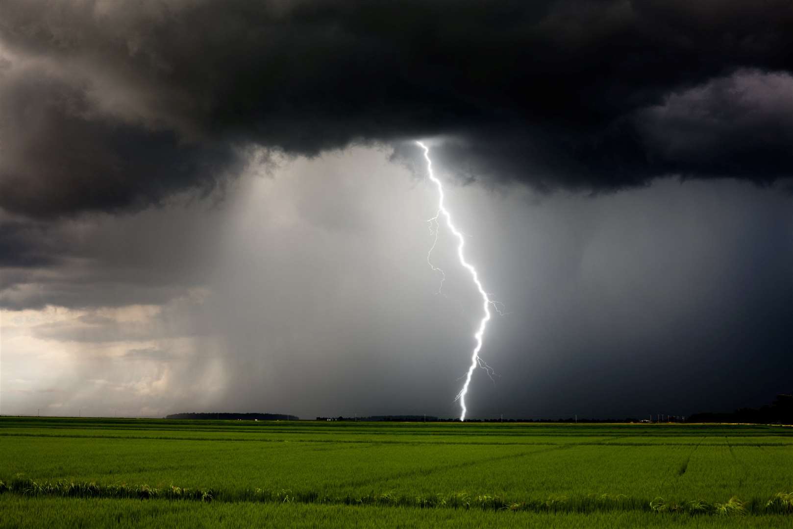
A yellow weather warning for thunderstorms has been issued by the Met Office for large parts of the south and the West Midlands between 6am and midday today.
The area affected covers London as well as the whole of the South East and the Solent area, stretching to Birmingham at its northernmost edge.
A yellow warning for wind is in place across coastal areas of north and mid-Wales between midnight and 6pm on Friday – and gusts could reach up to 60mph.
The Met Office says trees could fall down leading to train cancellations and likely delays.
Marquees and tents that may be used by campers in Snowdonia could also fall down in the gusts while caravans and lorries may struggle on some roads.
Homes could also lose power for a short time in affected areas, the forecaster warned.
Met Office meteorologist Rachel Ayers said showers will begin to fall in the south-west of England and south Wales before growing in intensity as they move eastwards.
Heavy showers could hit areas unaffected by the weather warnings but they are not likely to put people in any danger.
She said: “Given it is summer holidays, people are more likely to be wanting to be outside and travelling for holidays.
“There is a chance we could see driving conditions affected, leading to longer journey times.
“Take the advice from our partners such as the RAC with regards to driving in heavy rain if you do make that journey.”
She says conditions should brighten up across most of the UK on Saturday – with sunshine and showers likely amid “blustery” conditions.
Heavy rain on Saturday is likely to be confined to the north-east of Scotland, she added.


